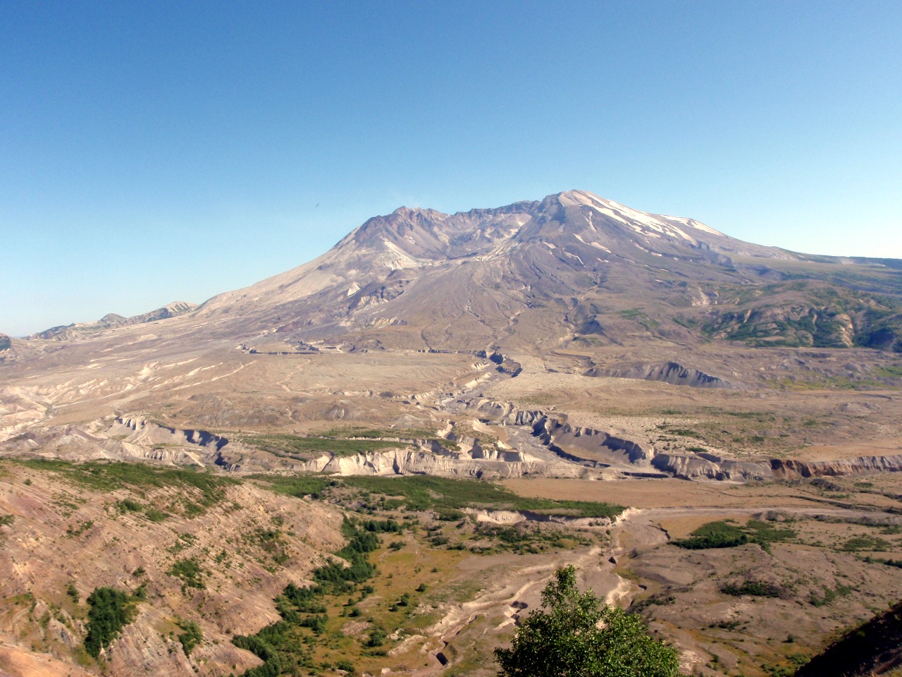
Wednesday: drive to Bellevue, WA. Mt. St. Helens, from the Johnston Observatory
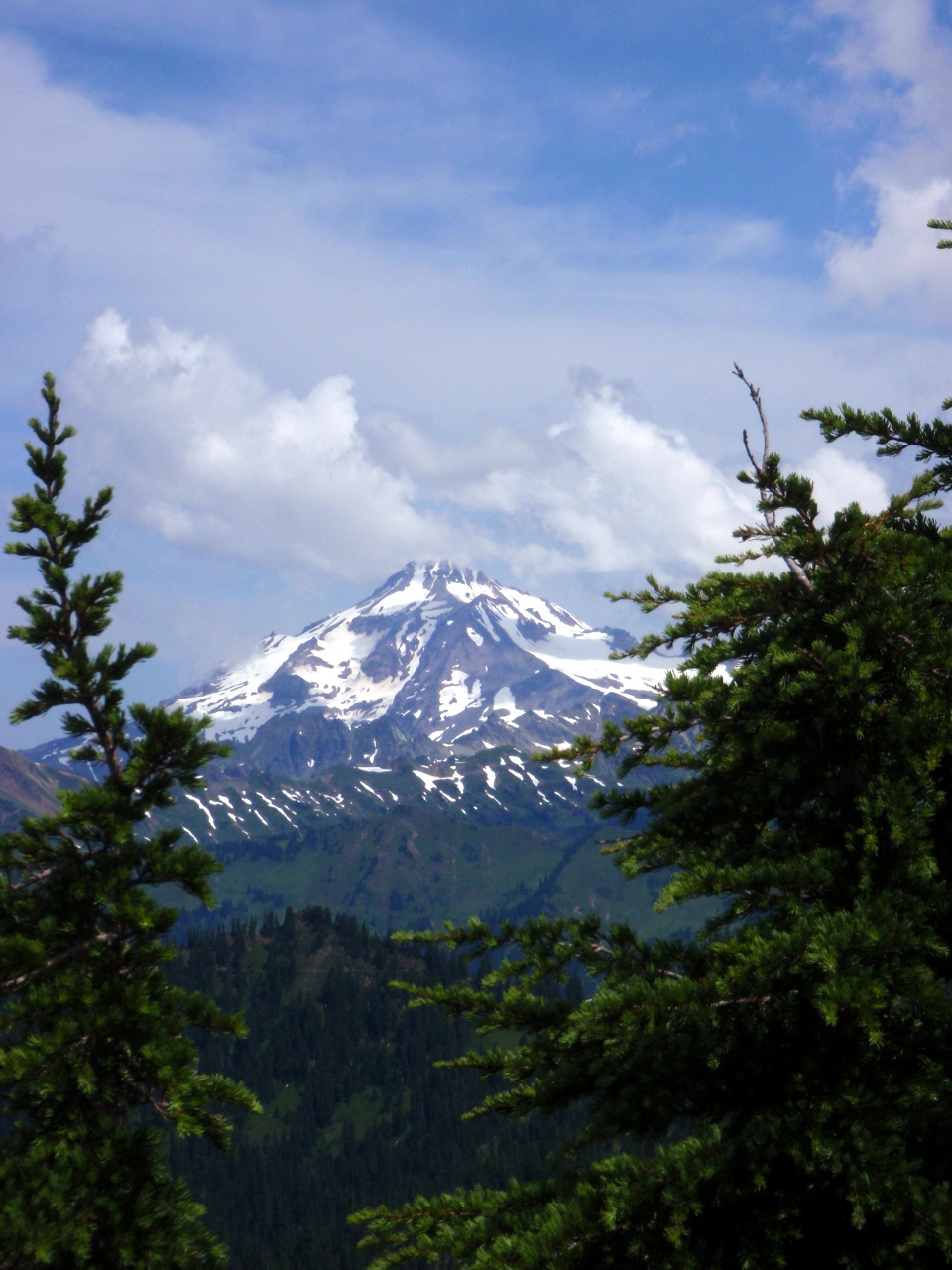
Wednesday: drive to Bellevue, WA. Mt. St. Helens, from the Johnston Observatory
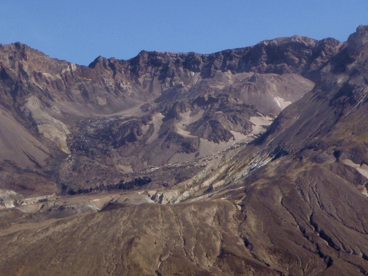
Closeup of the dome
Spirit Lake
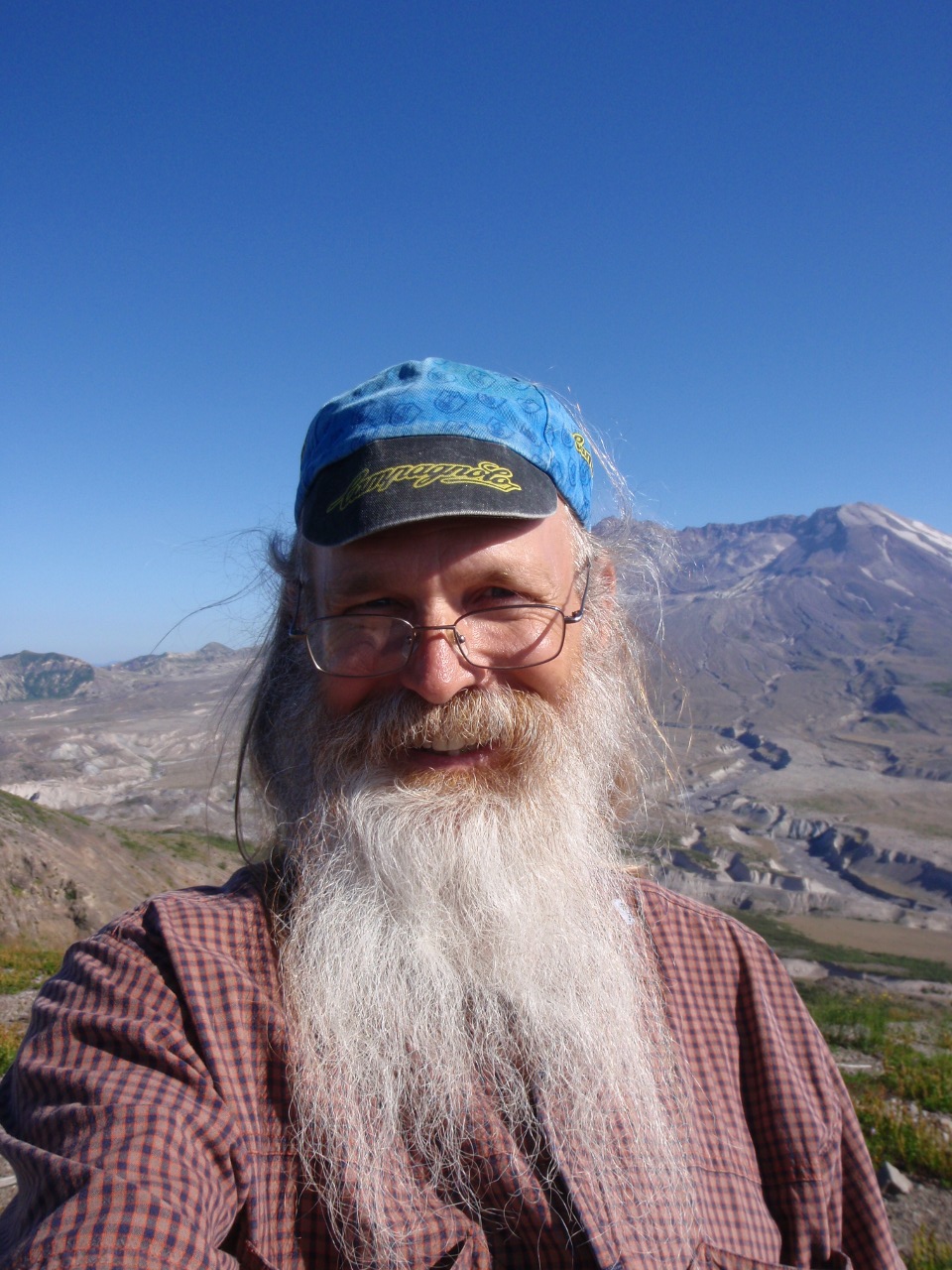
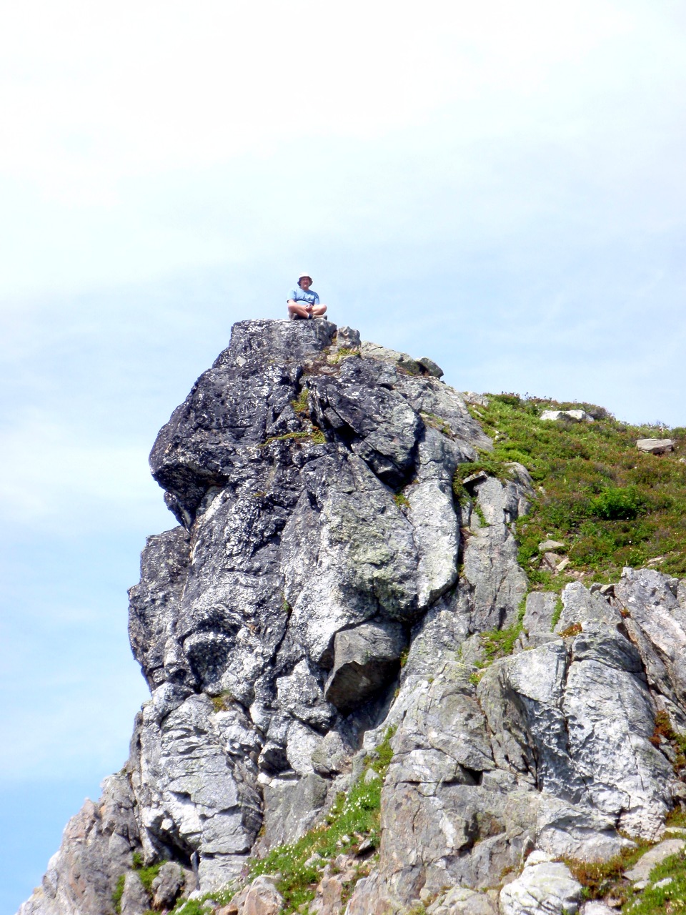
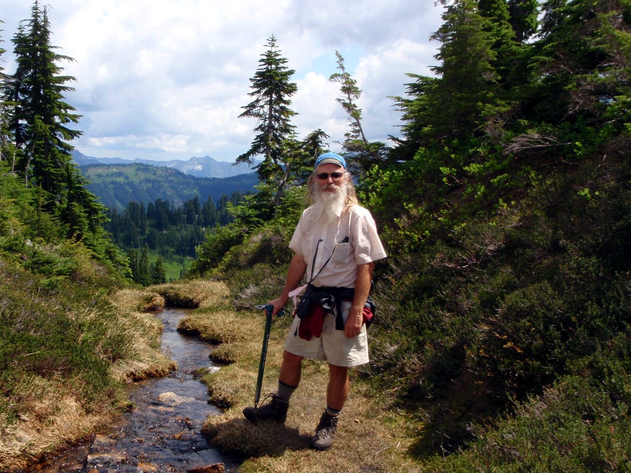
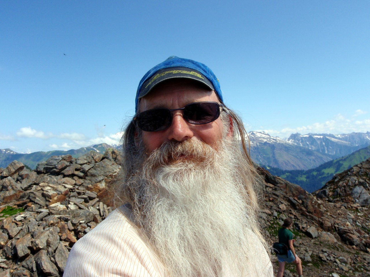
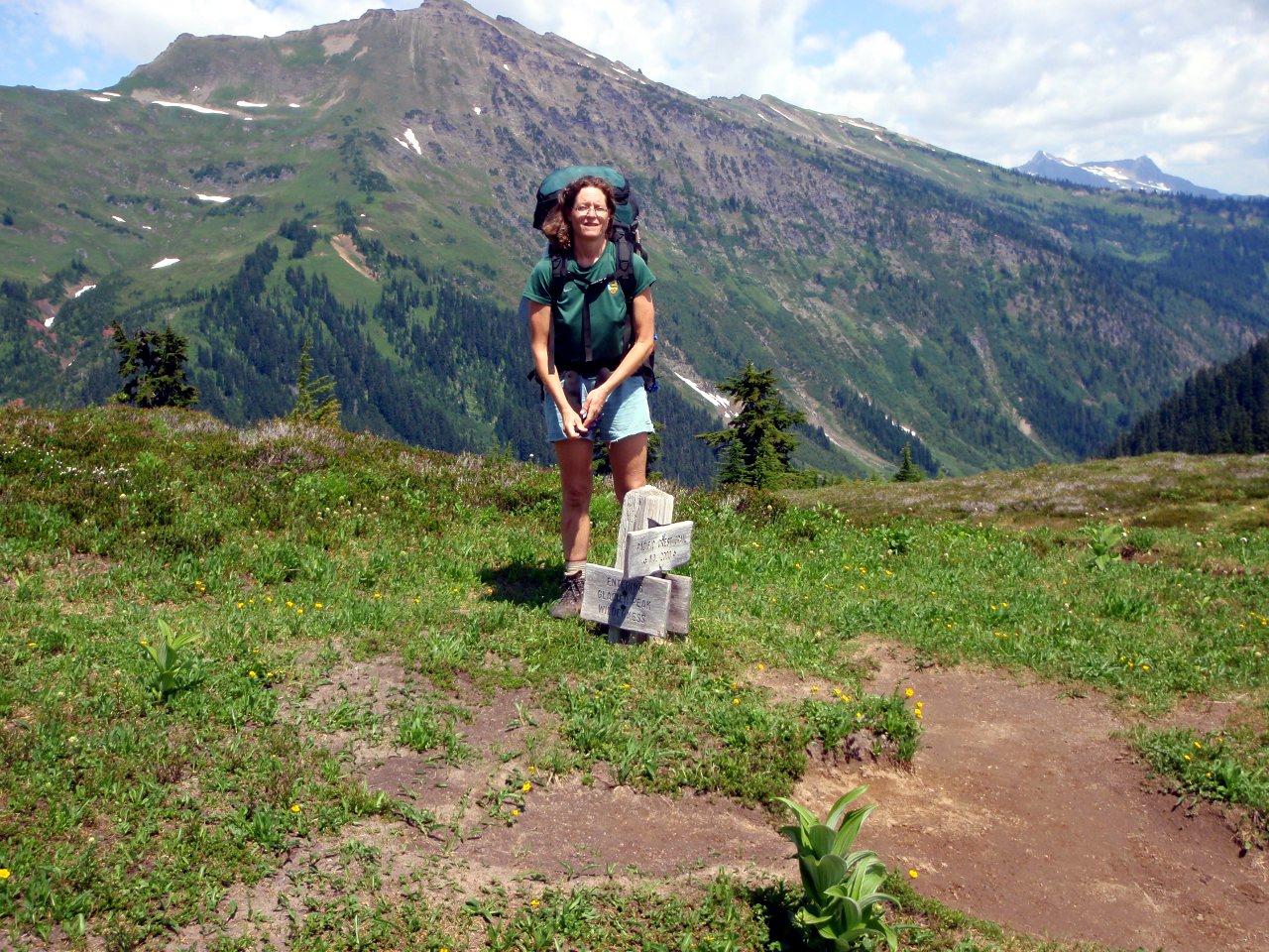
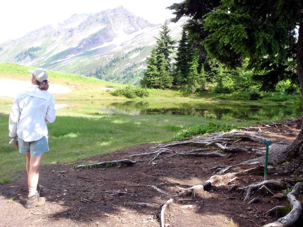
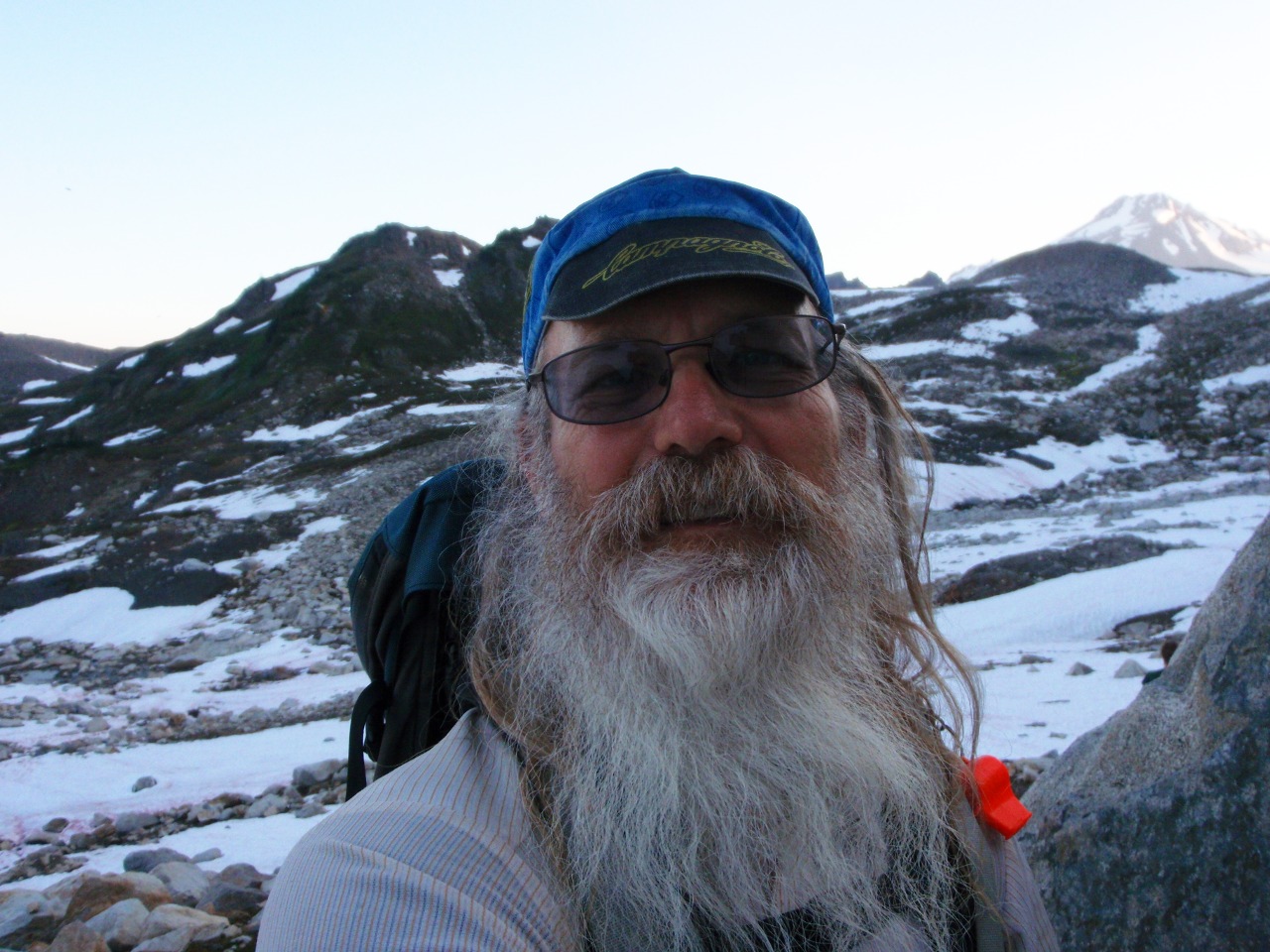
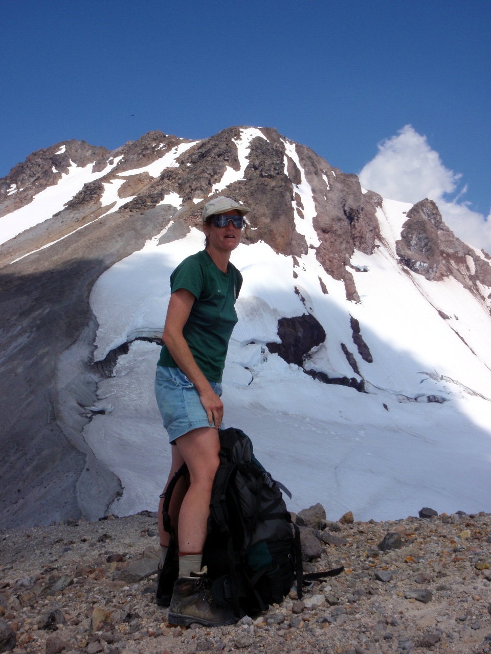
Usual self-portrait
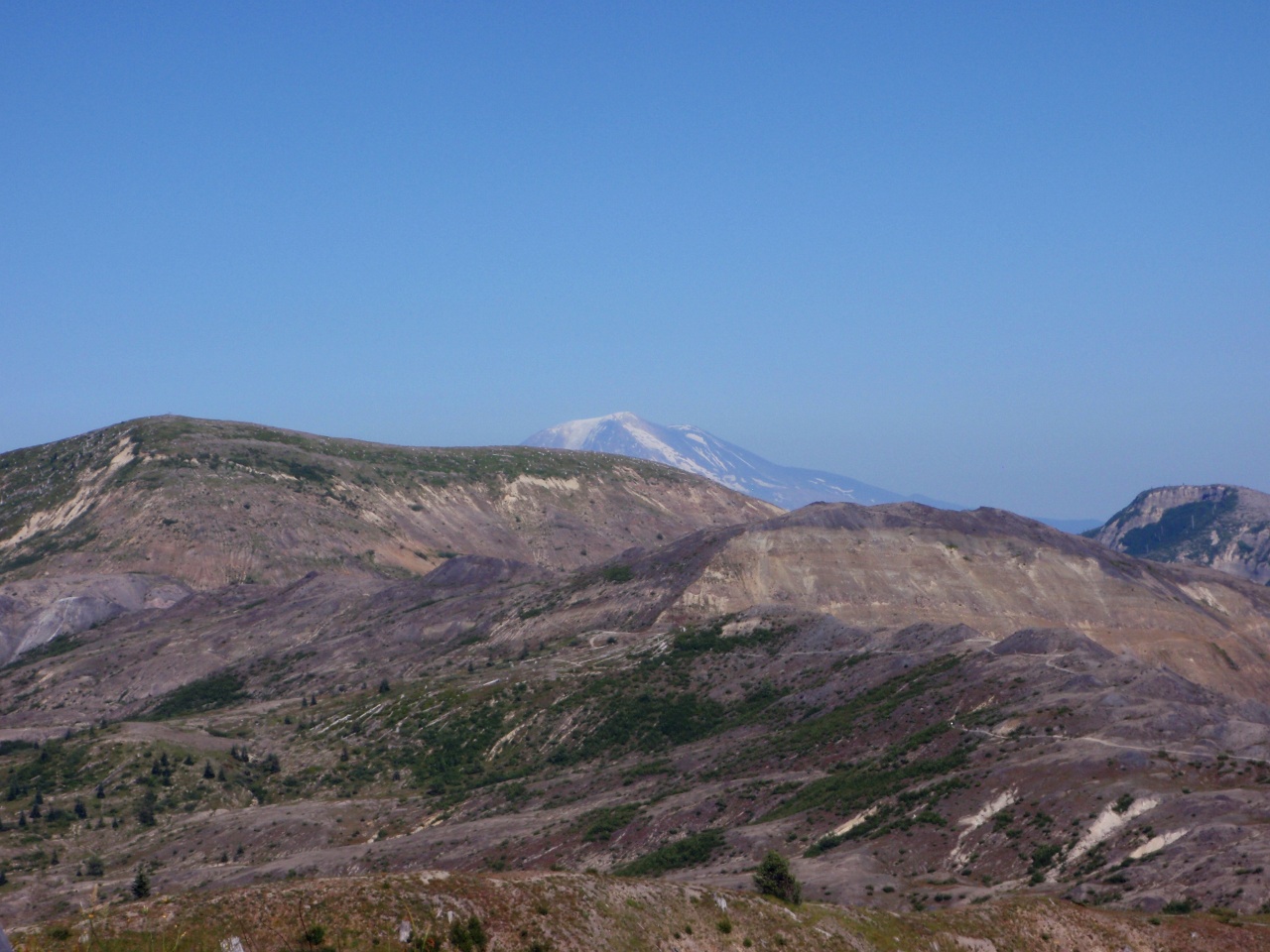
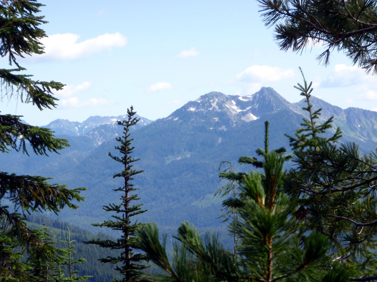
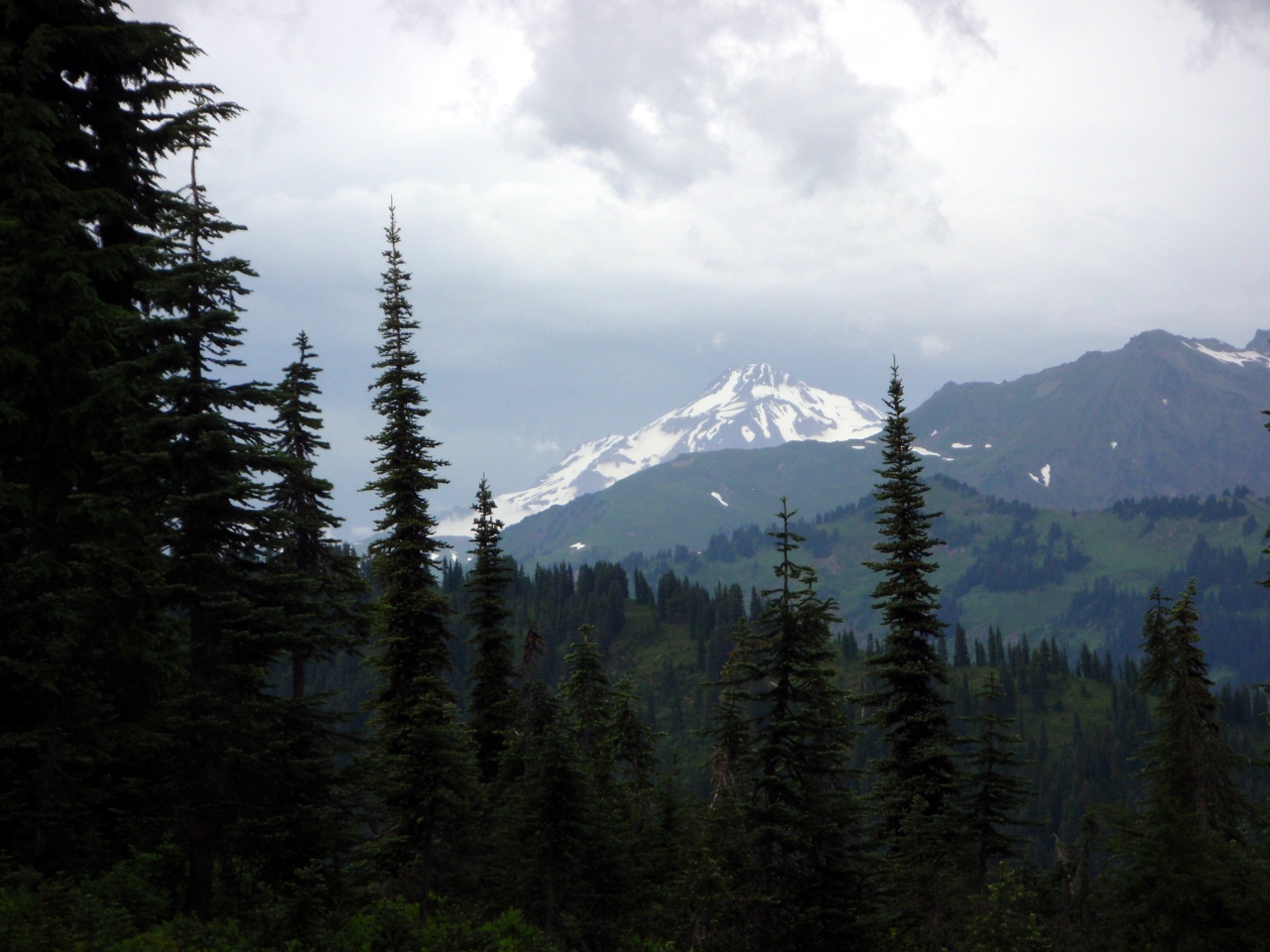
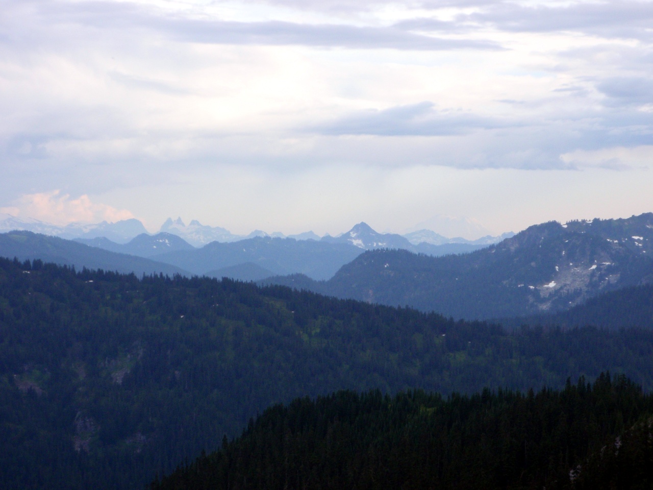
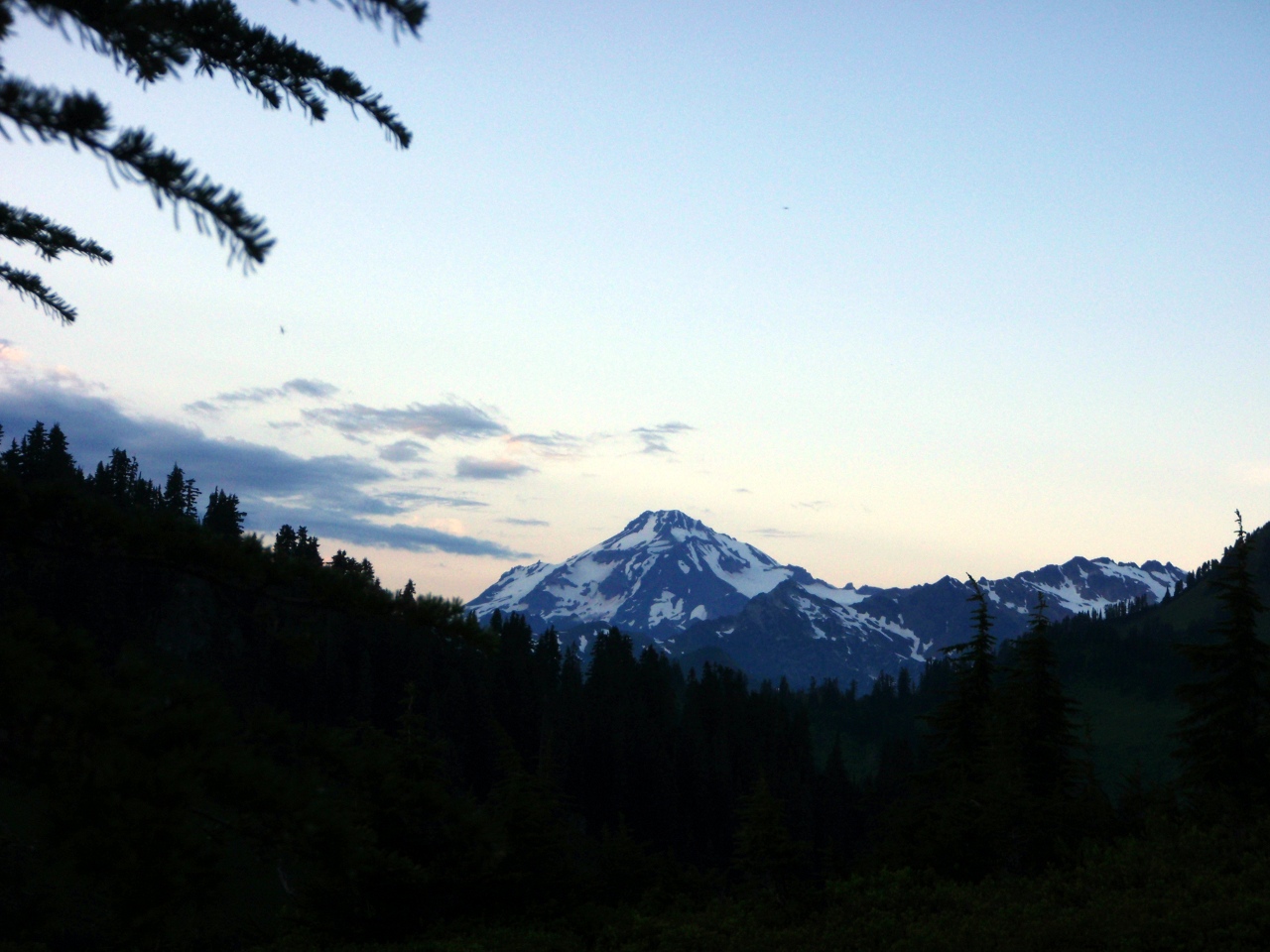
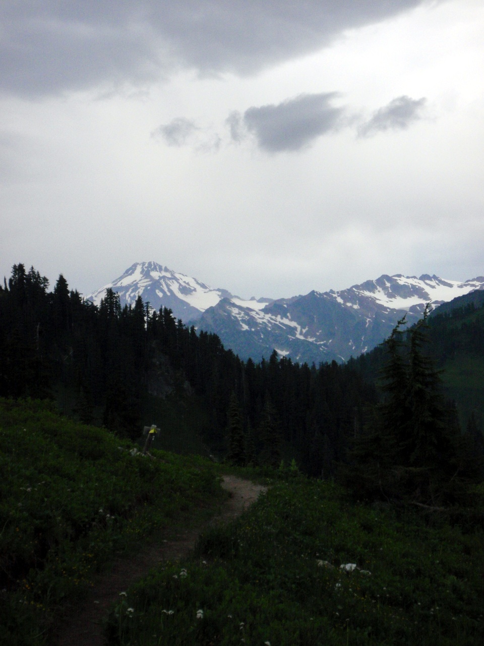
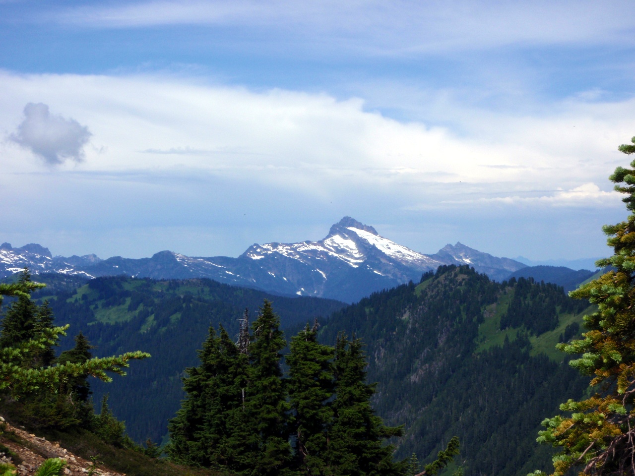
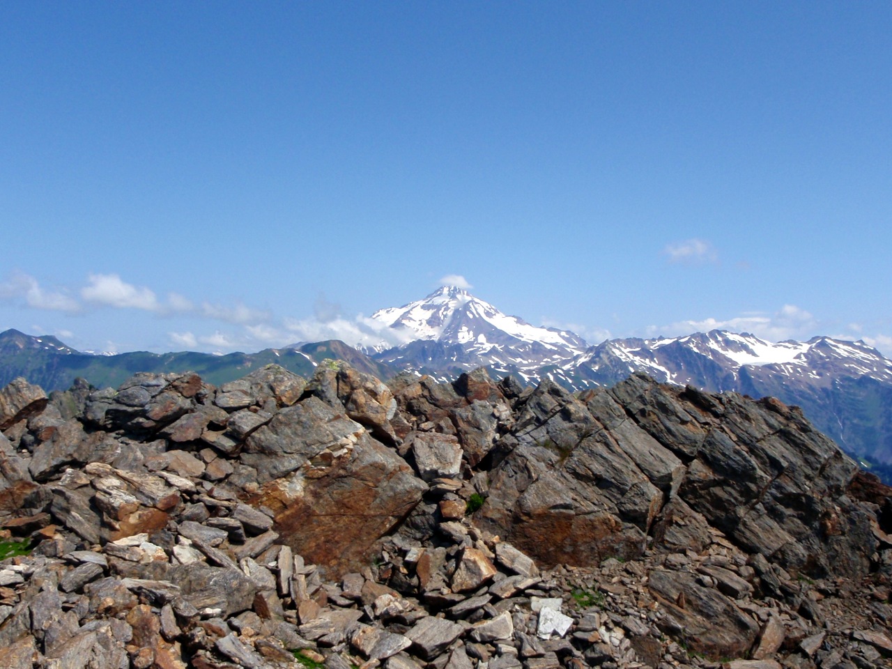
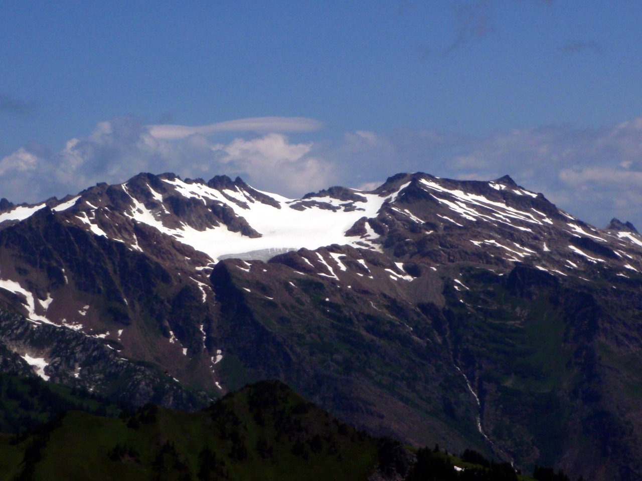
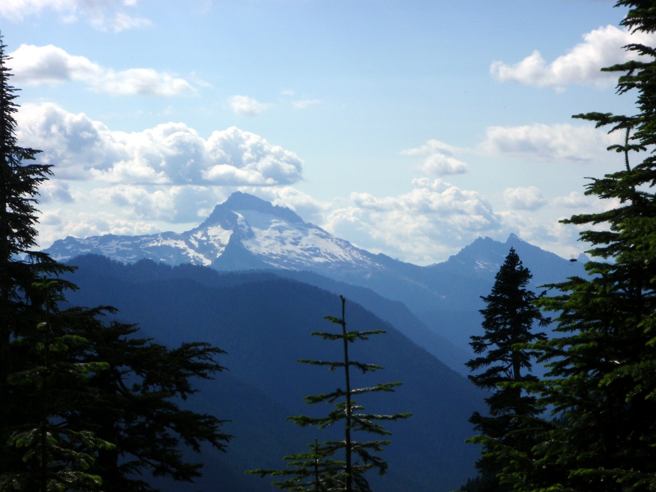
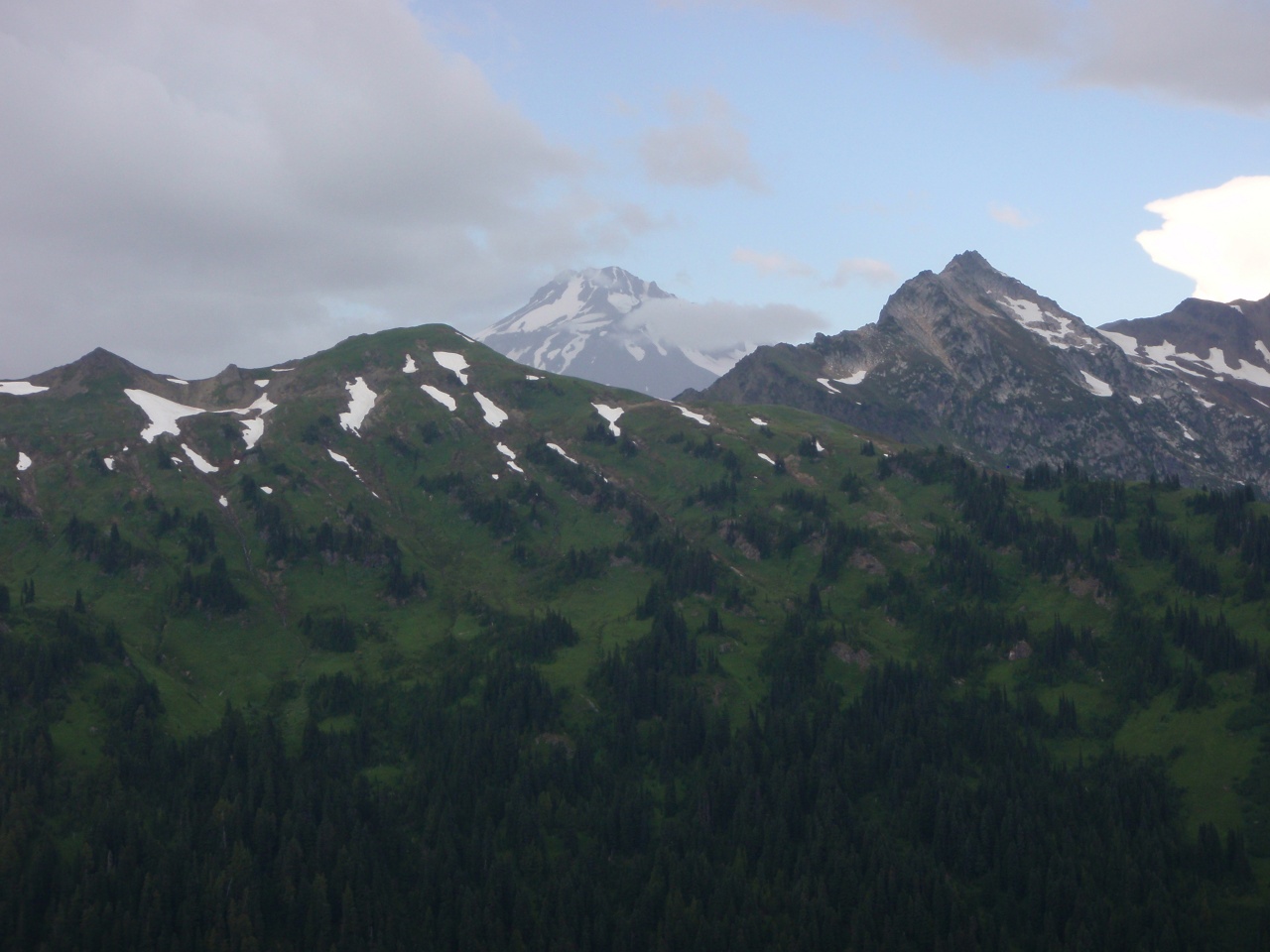
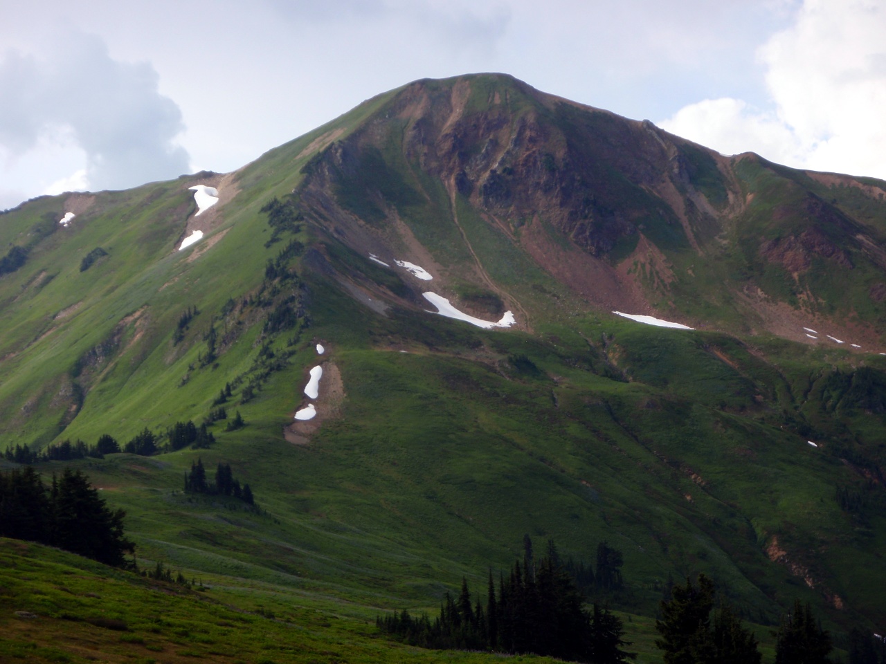
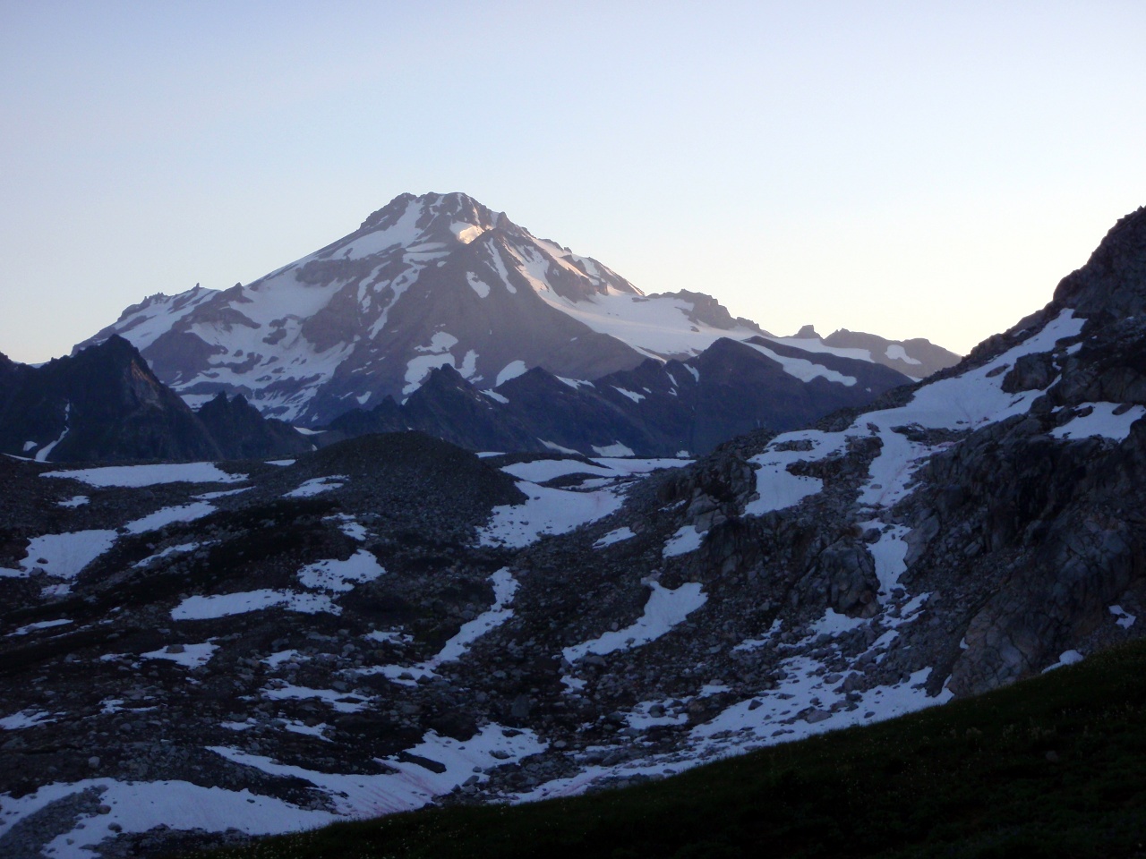
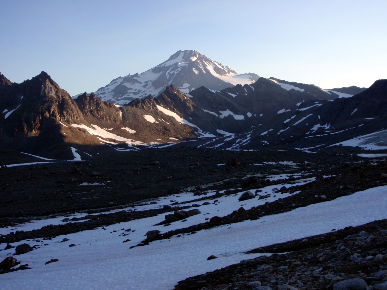
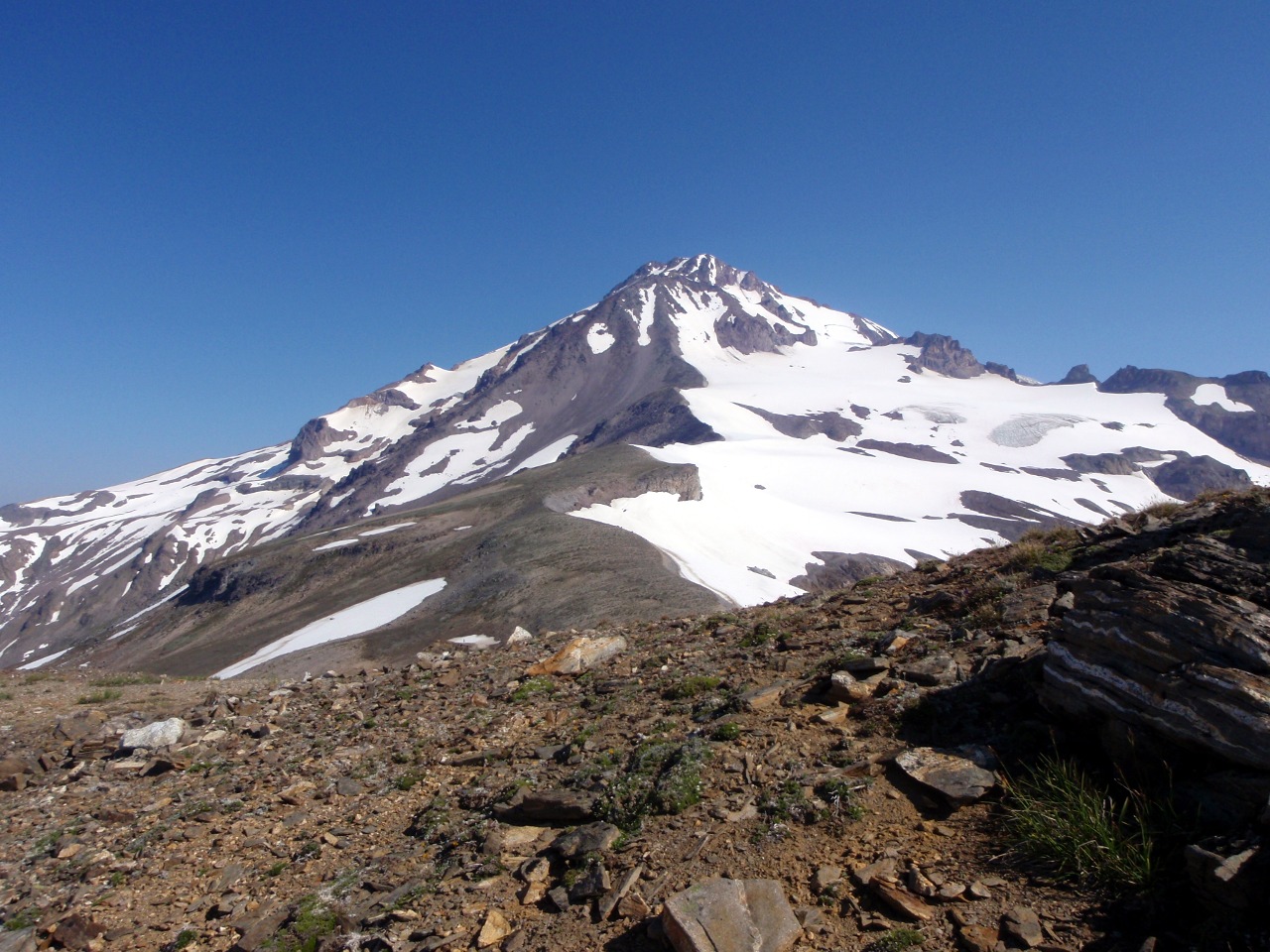
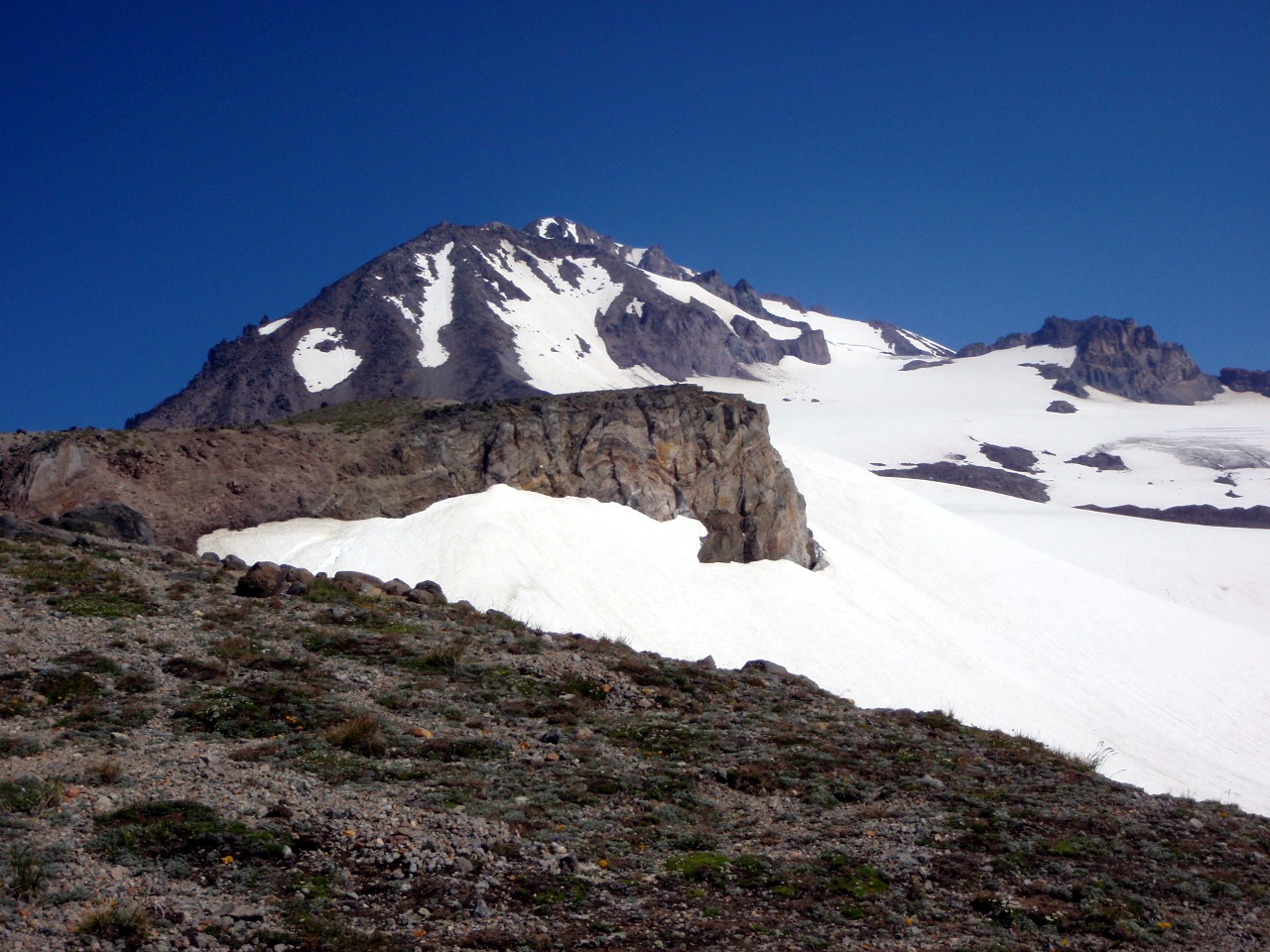
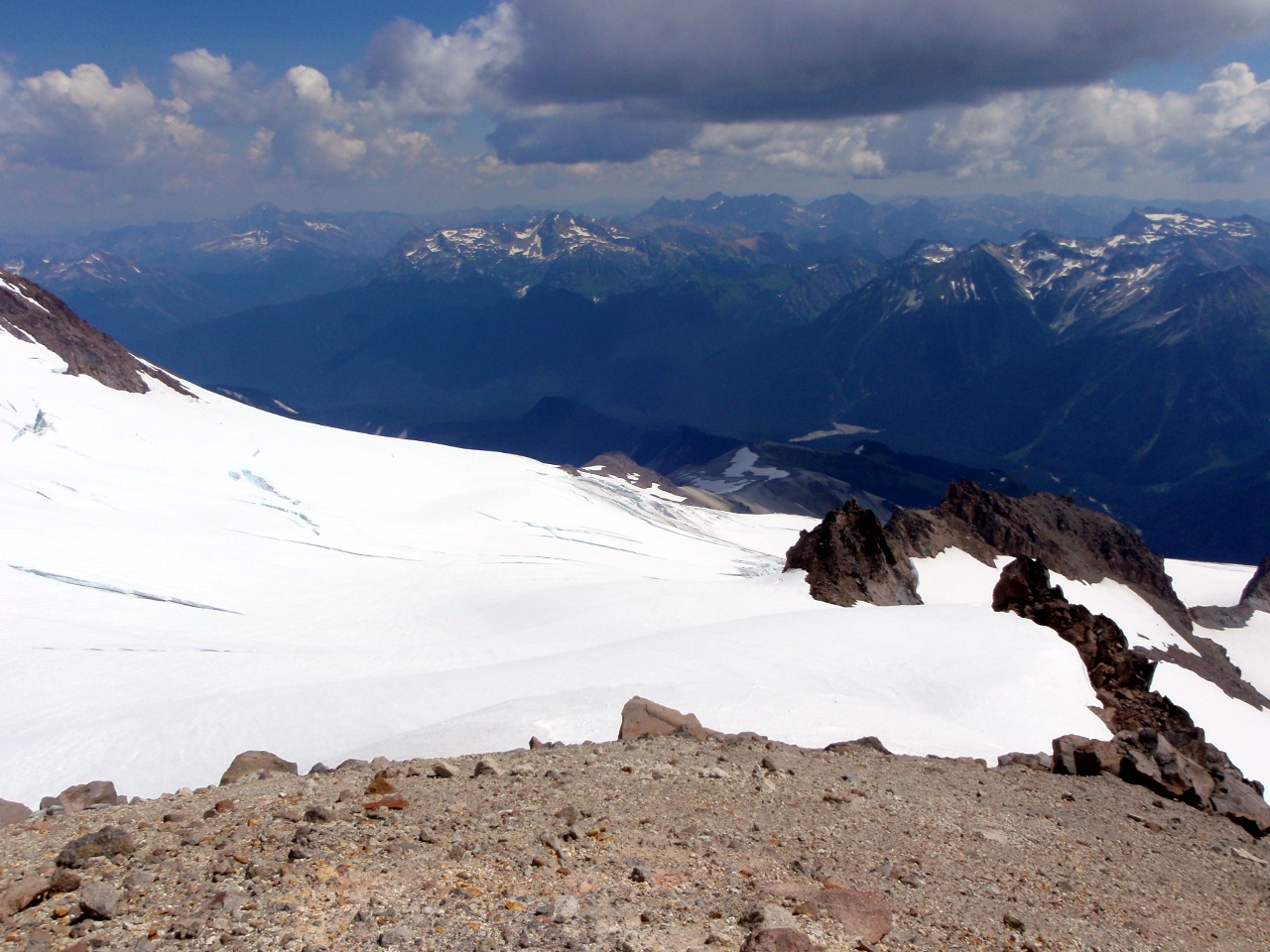
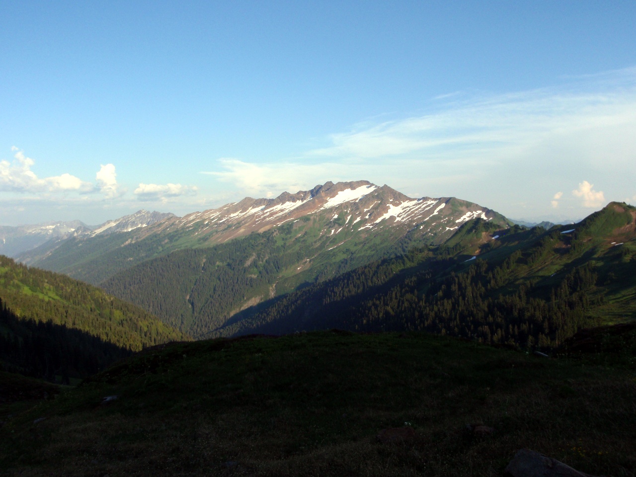
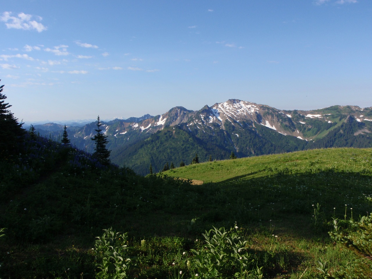
Mt. Adams
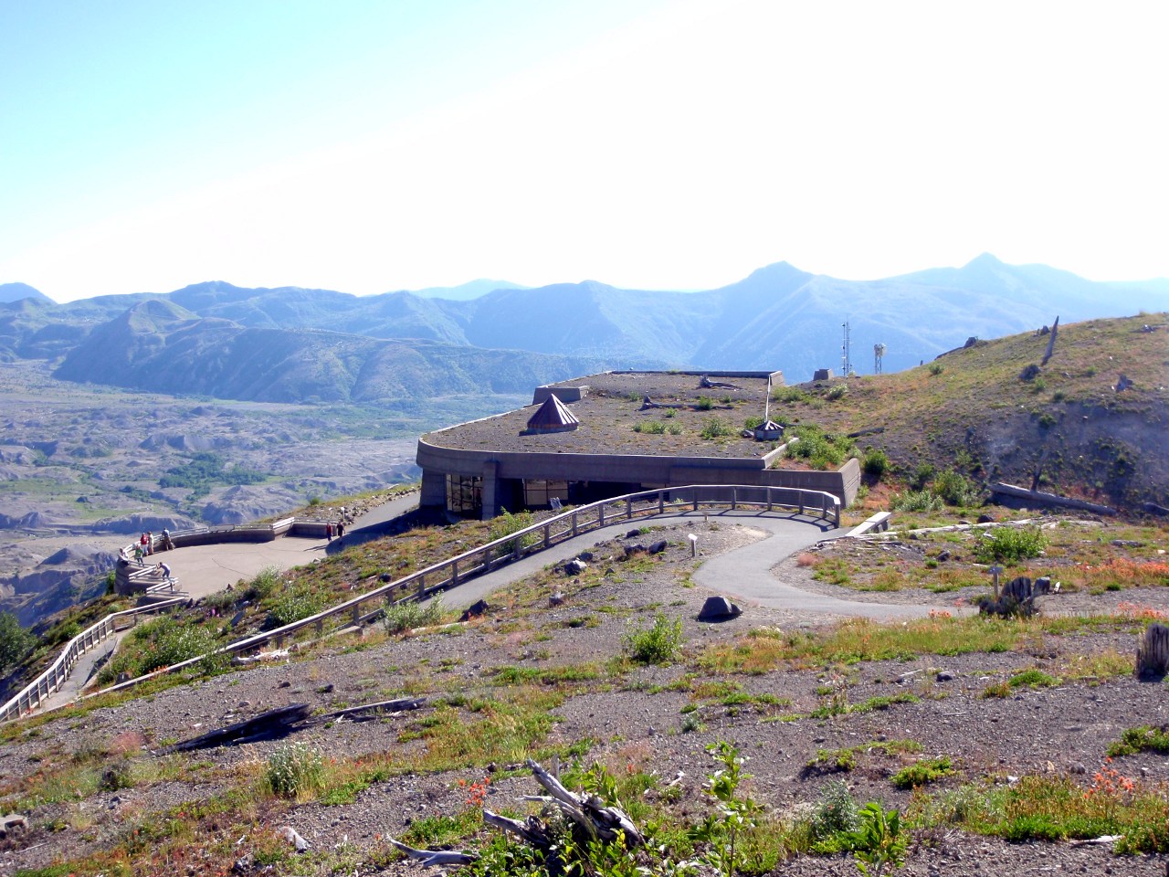
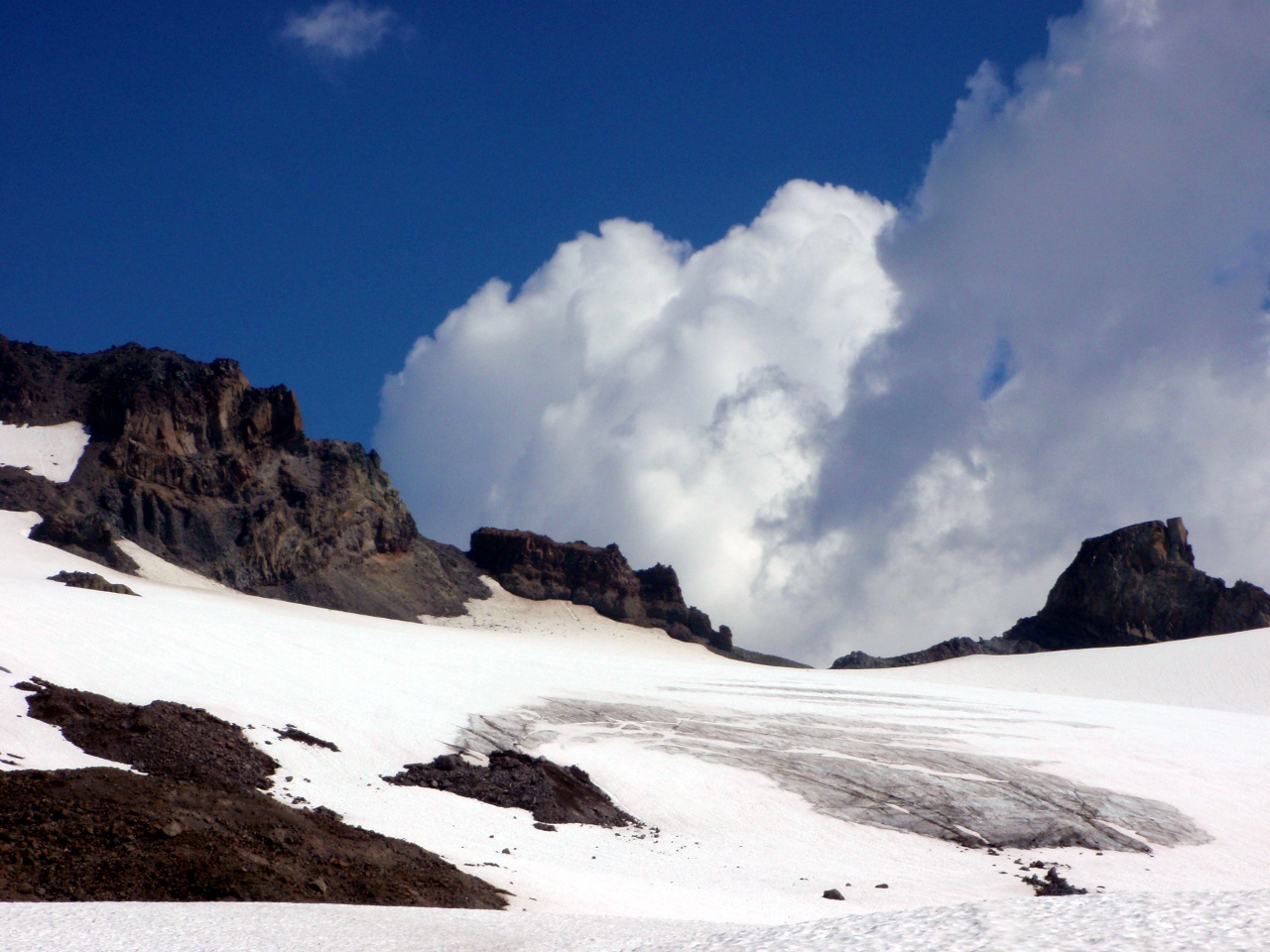
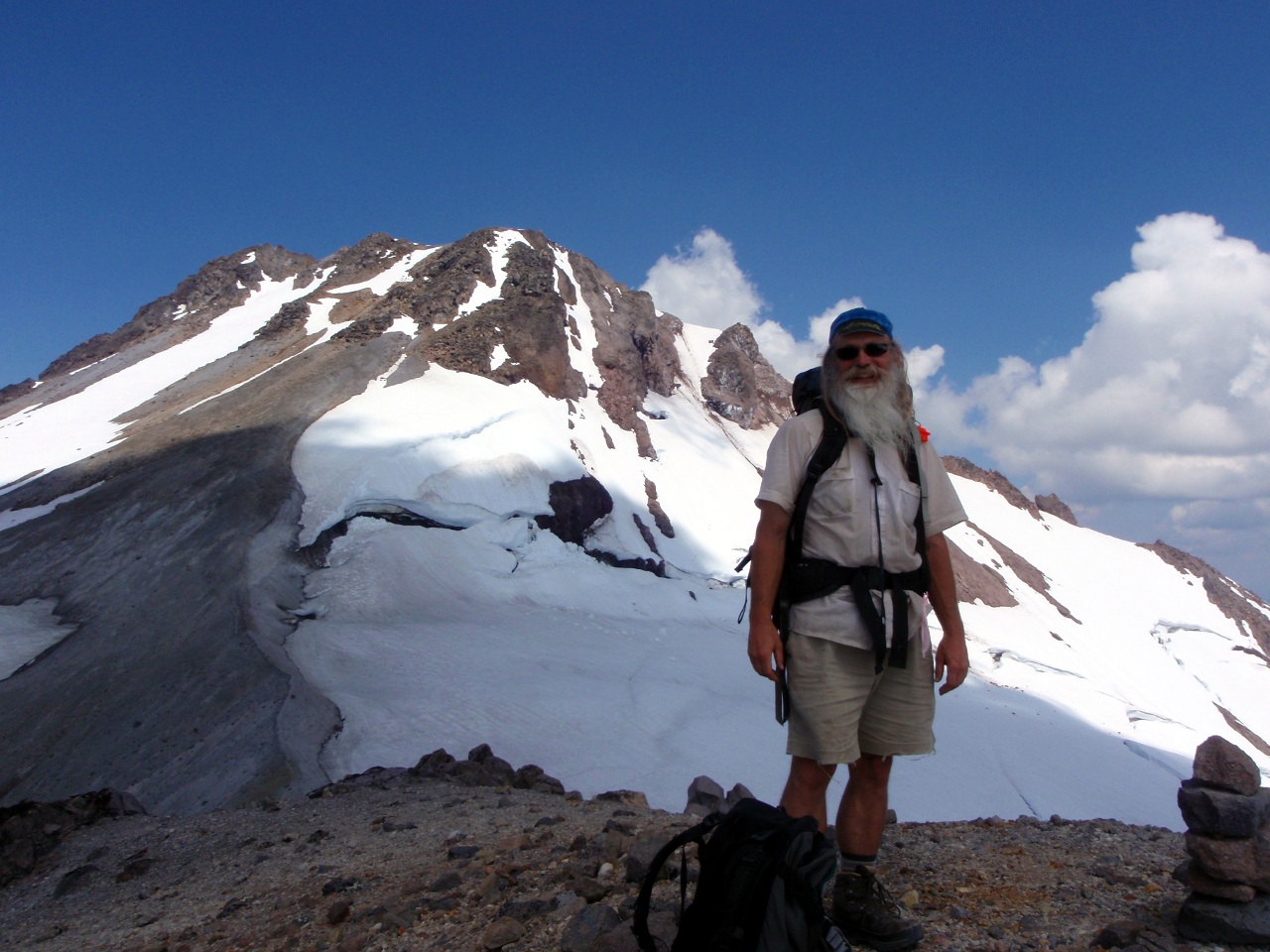
Johnston Observatory
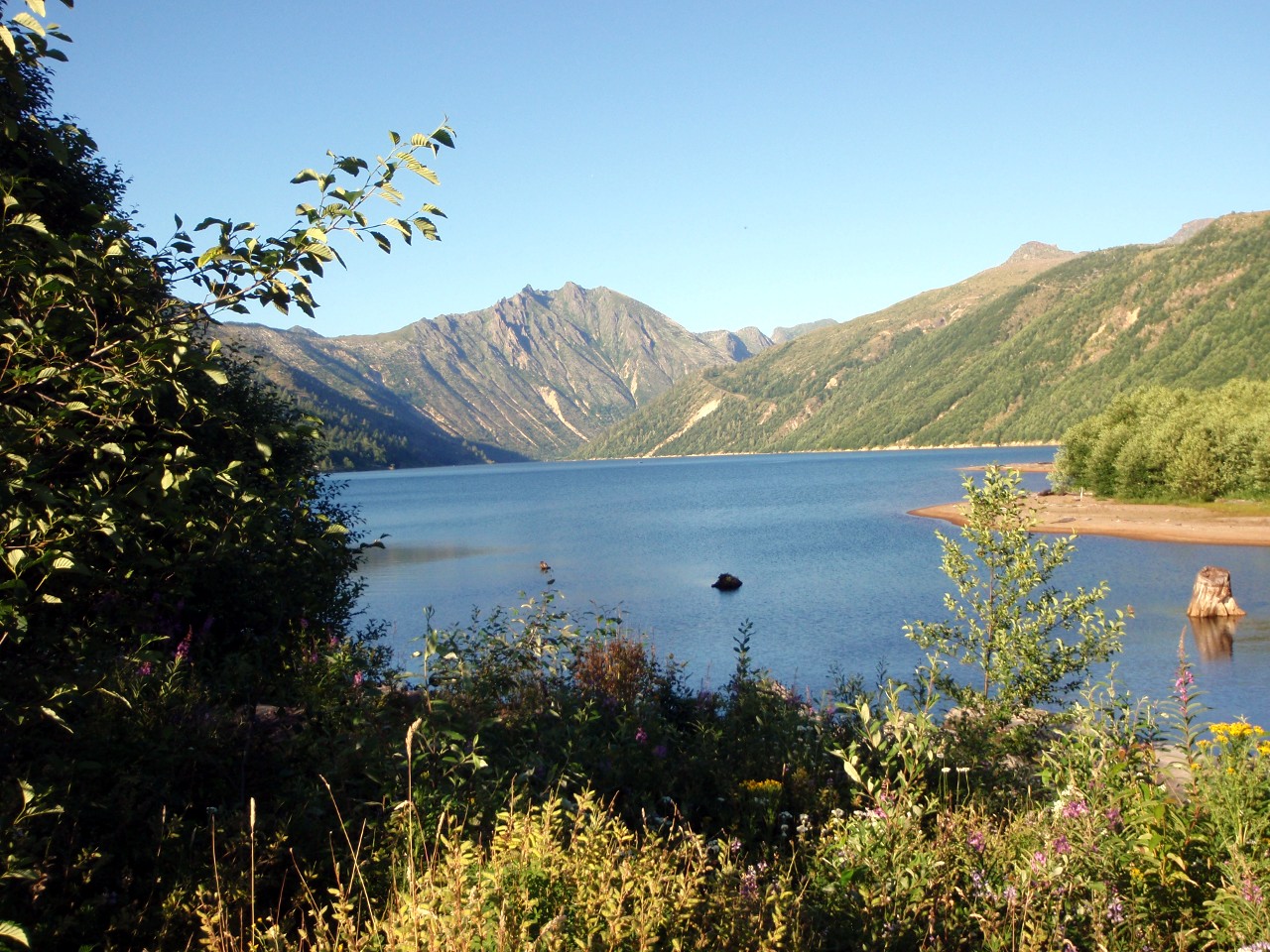
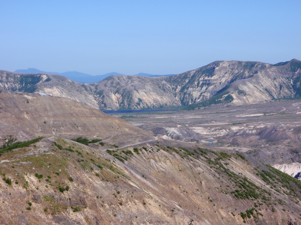
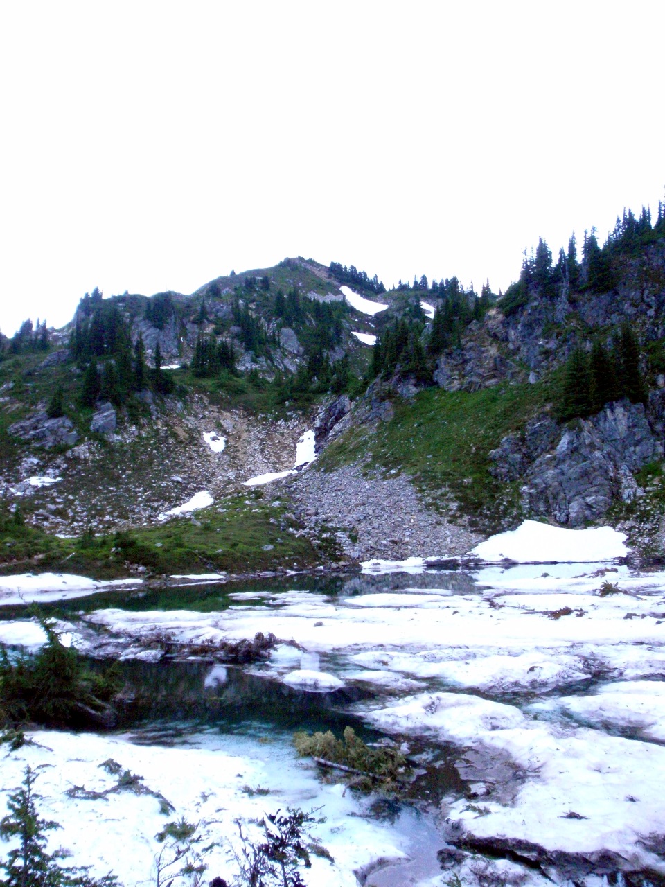
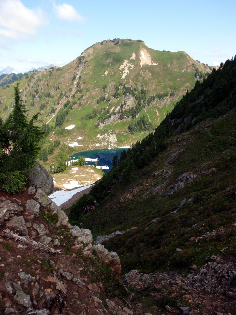
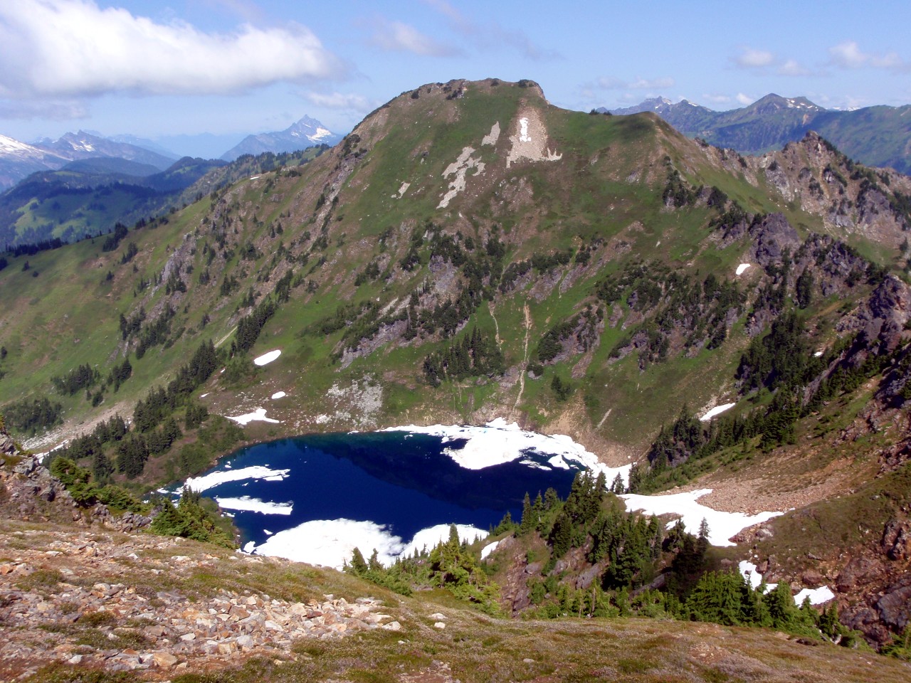
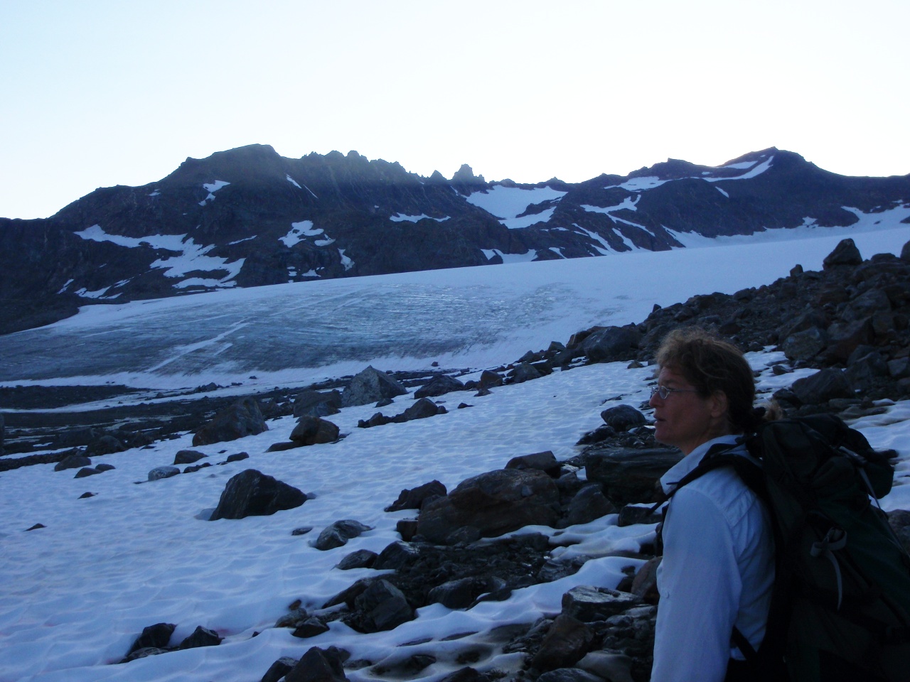
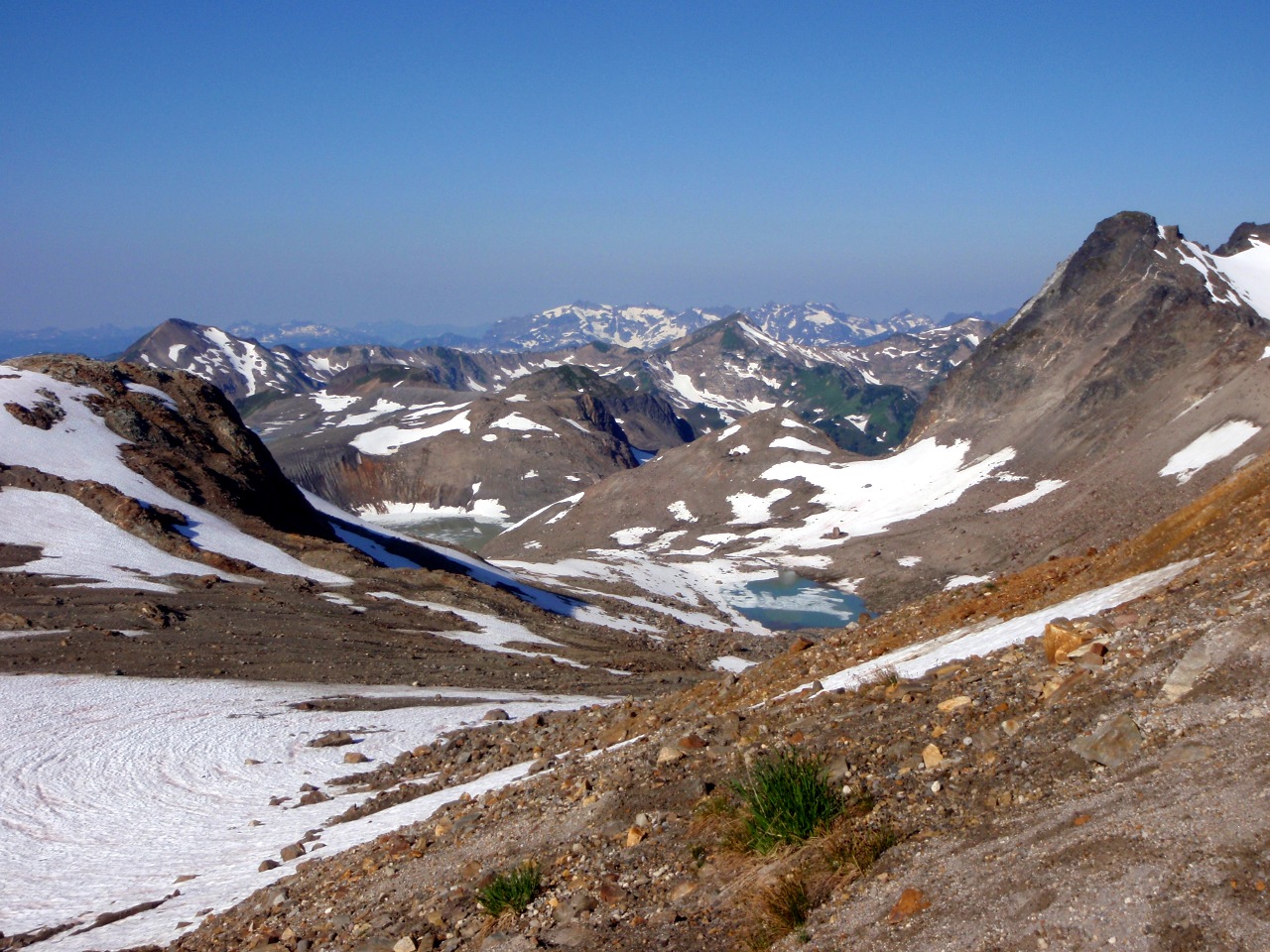
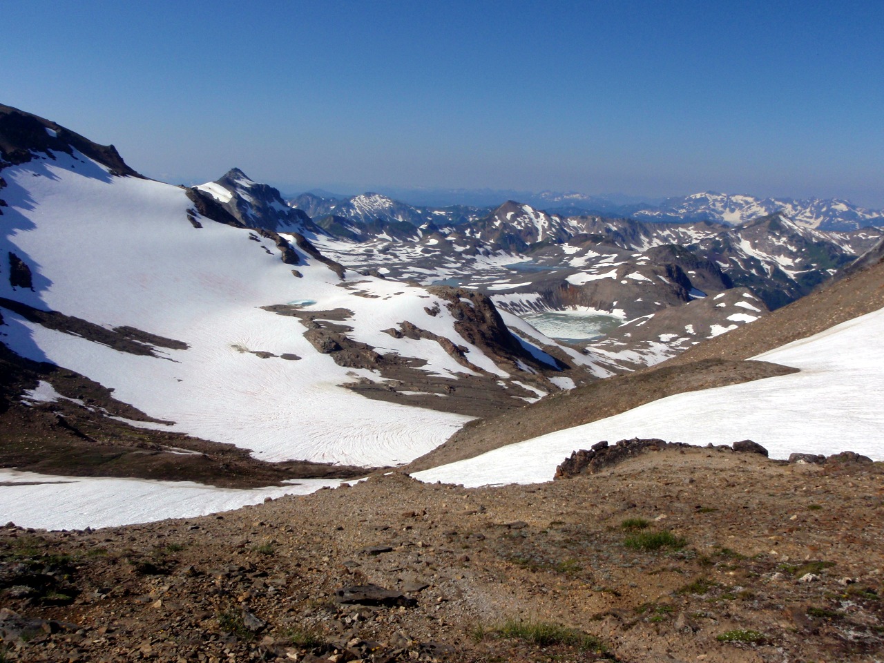
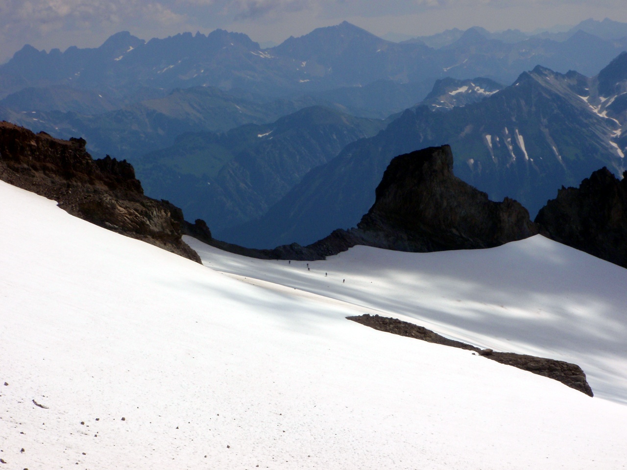
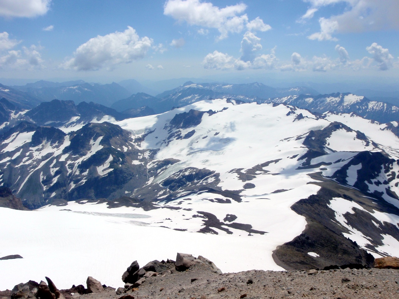
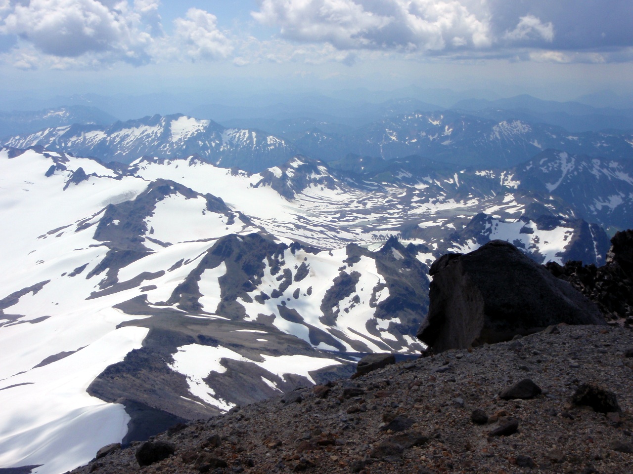
Coldwater Lake
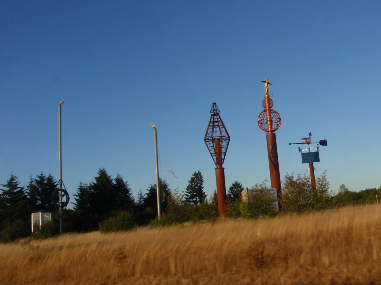
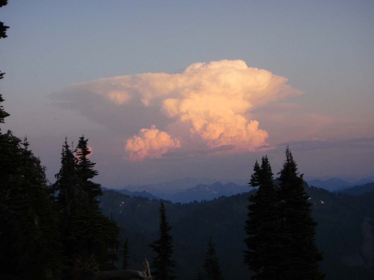
Distractions along I-5
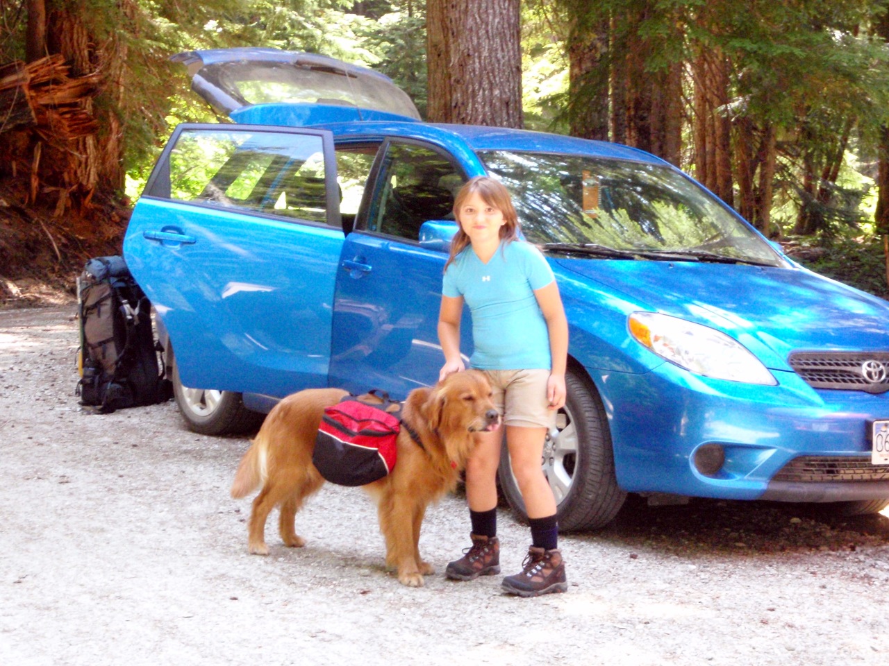
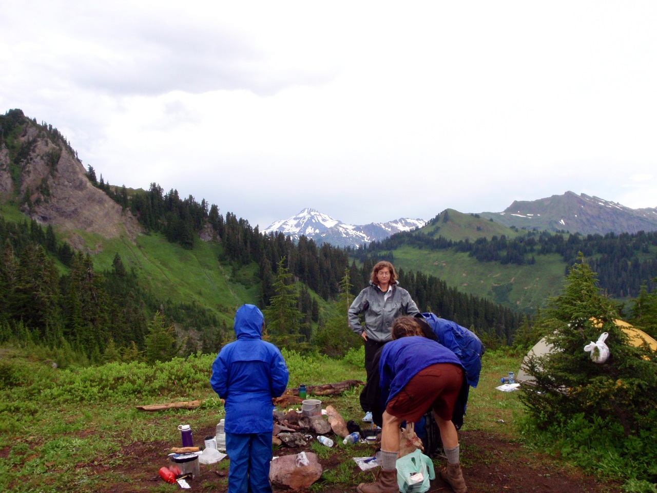
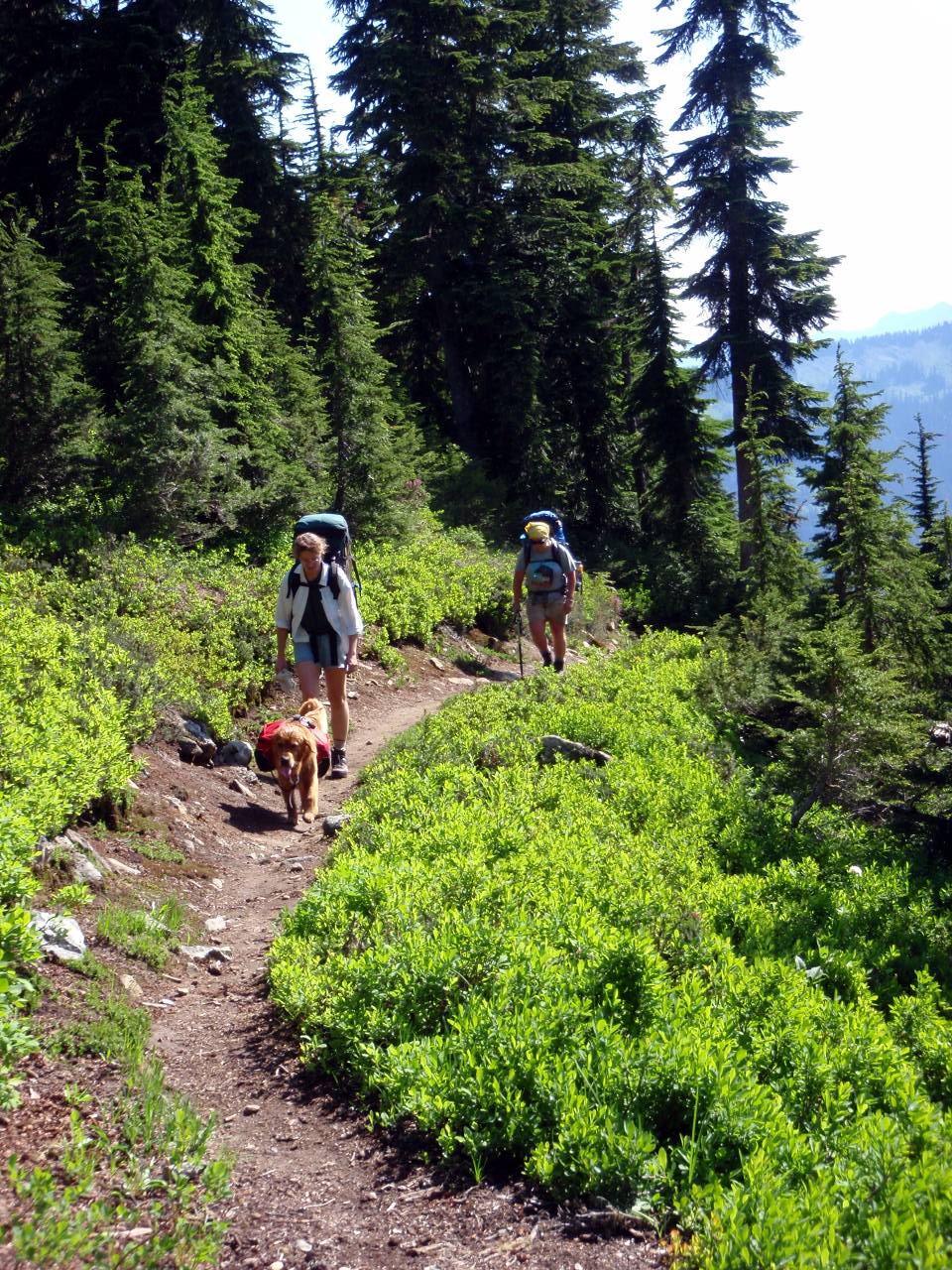
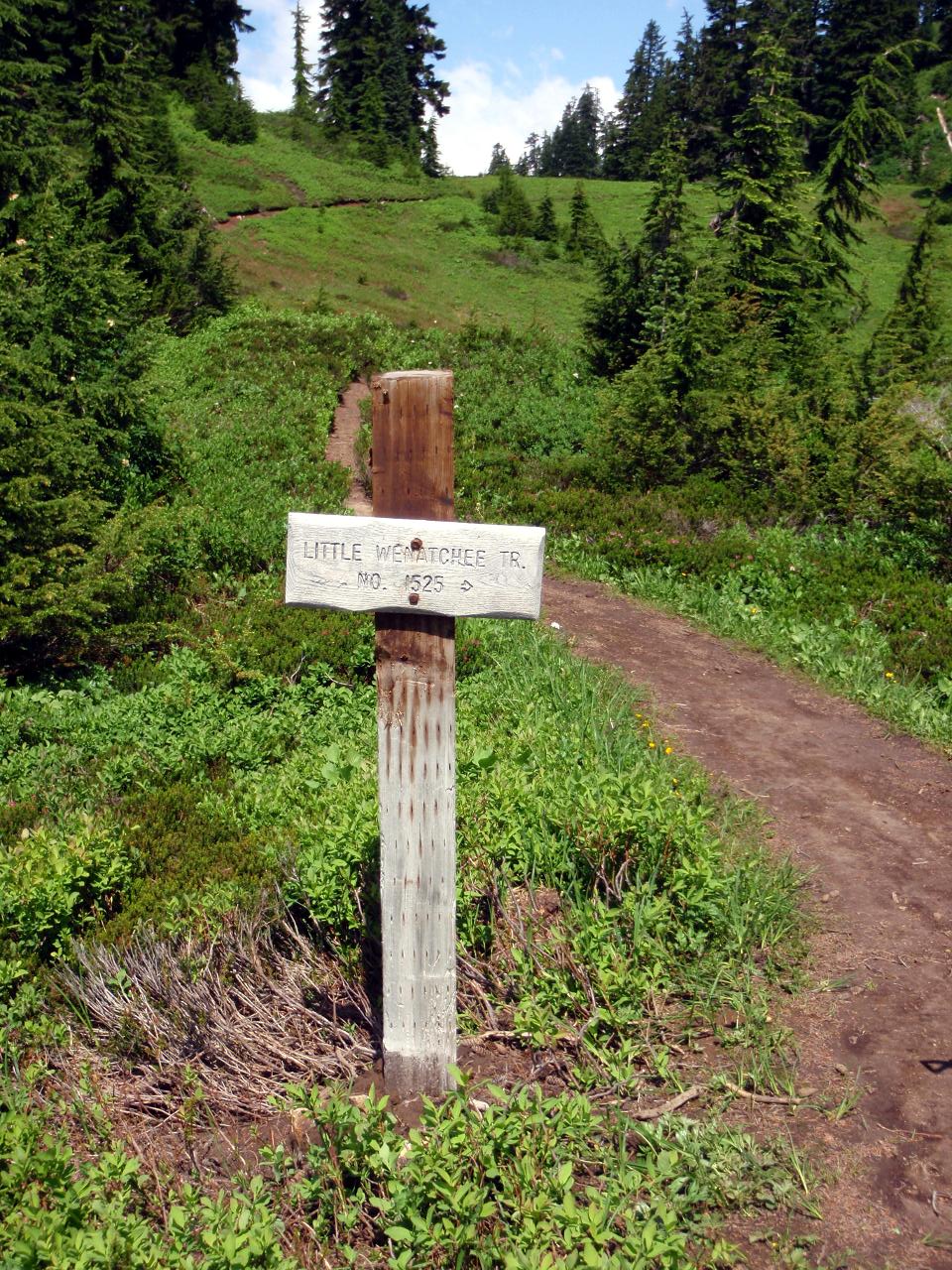
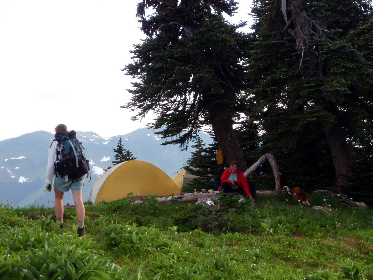
Thursday: Mindy & I place Lili’s car at the N. Fork Sauk River TH (no pics). Friday: We intend to hike in to Lake Sally Ann, but end up camping at saddle by jct with the PCT. Beth and Cody at the Little Wenatchee TH
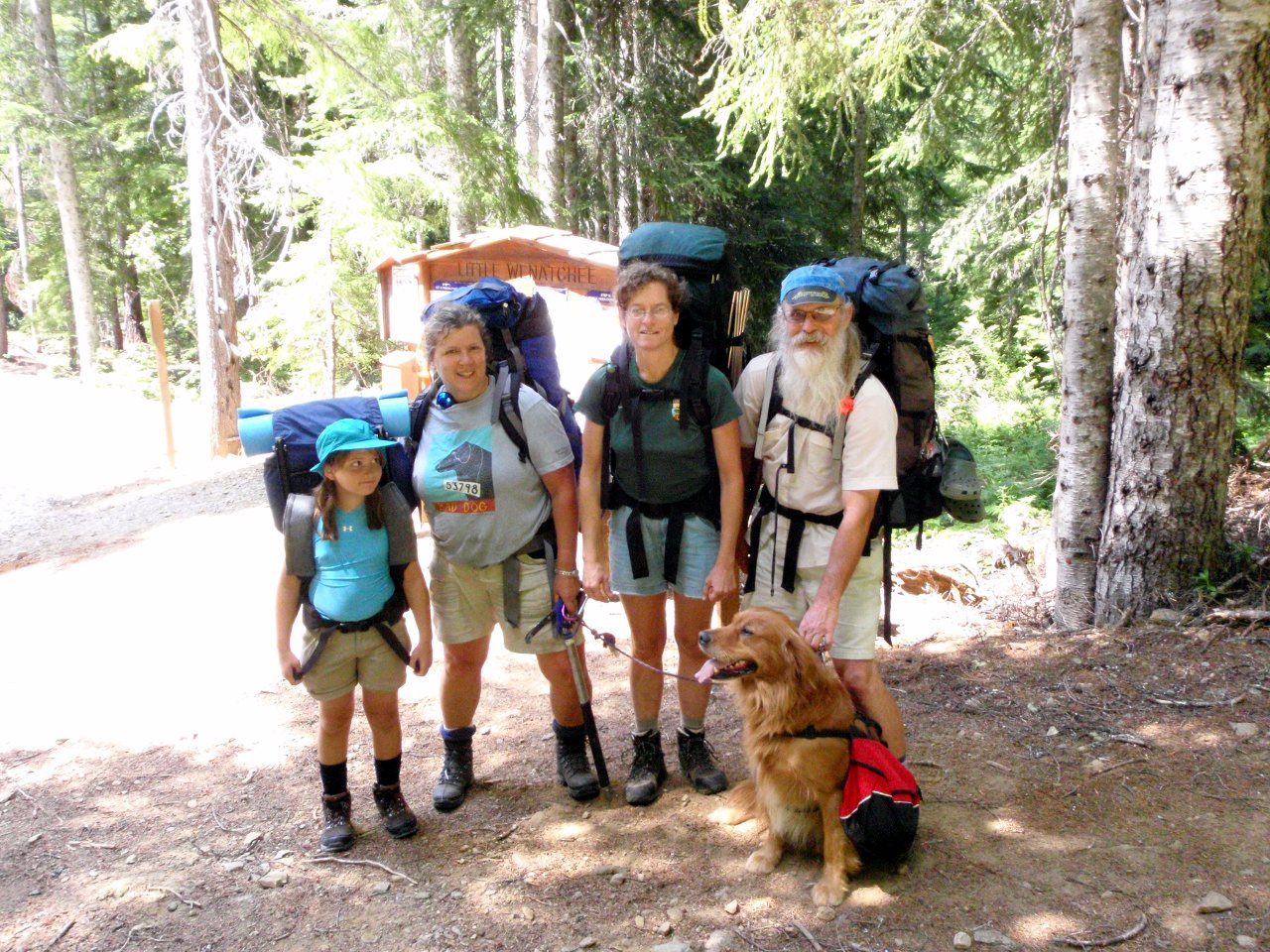
Beth, Mindy, Lili, Cody and me at the TH (Neil took the pic).
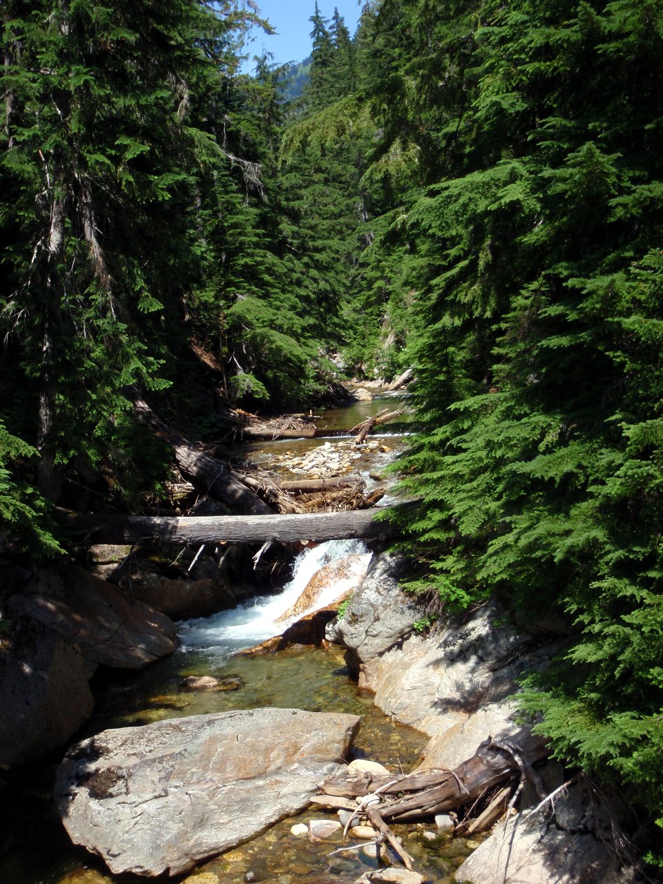
From bridge across the Little Wenatchee River
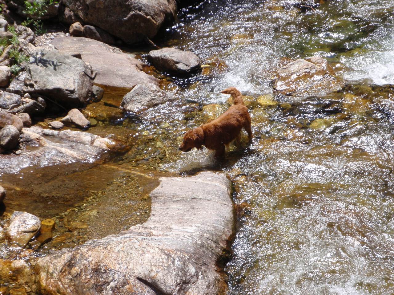
Cody cools off in the Little Wenatchee
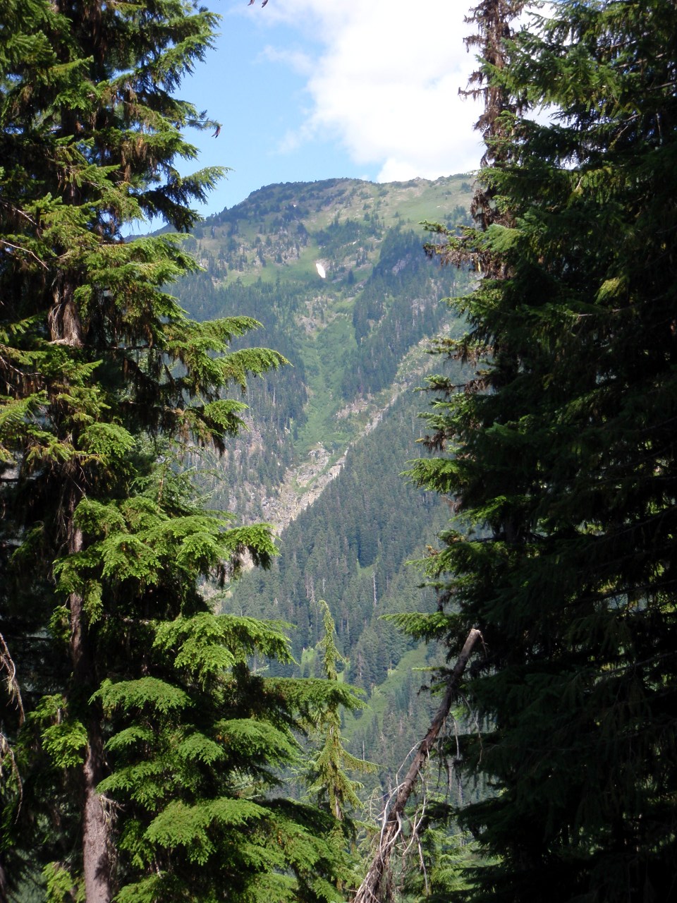
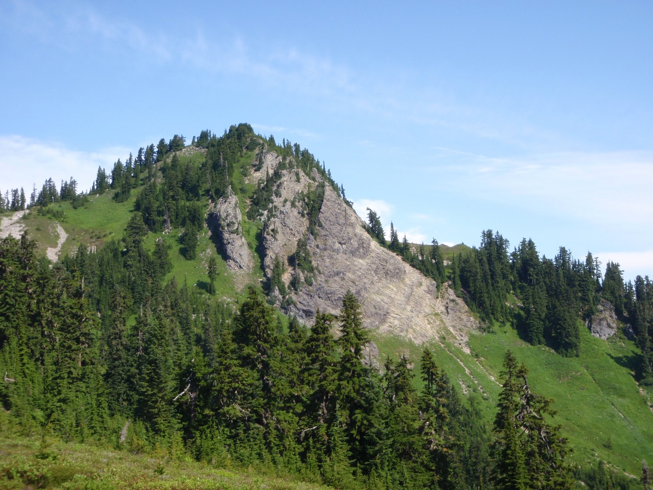
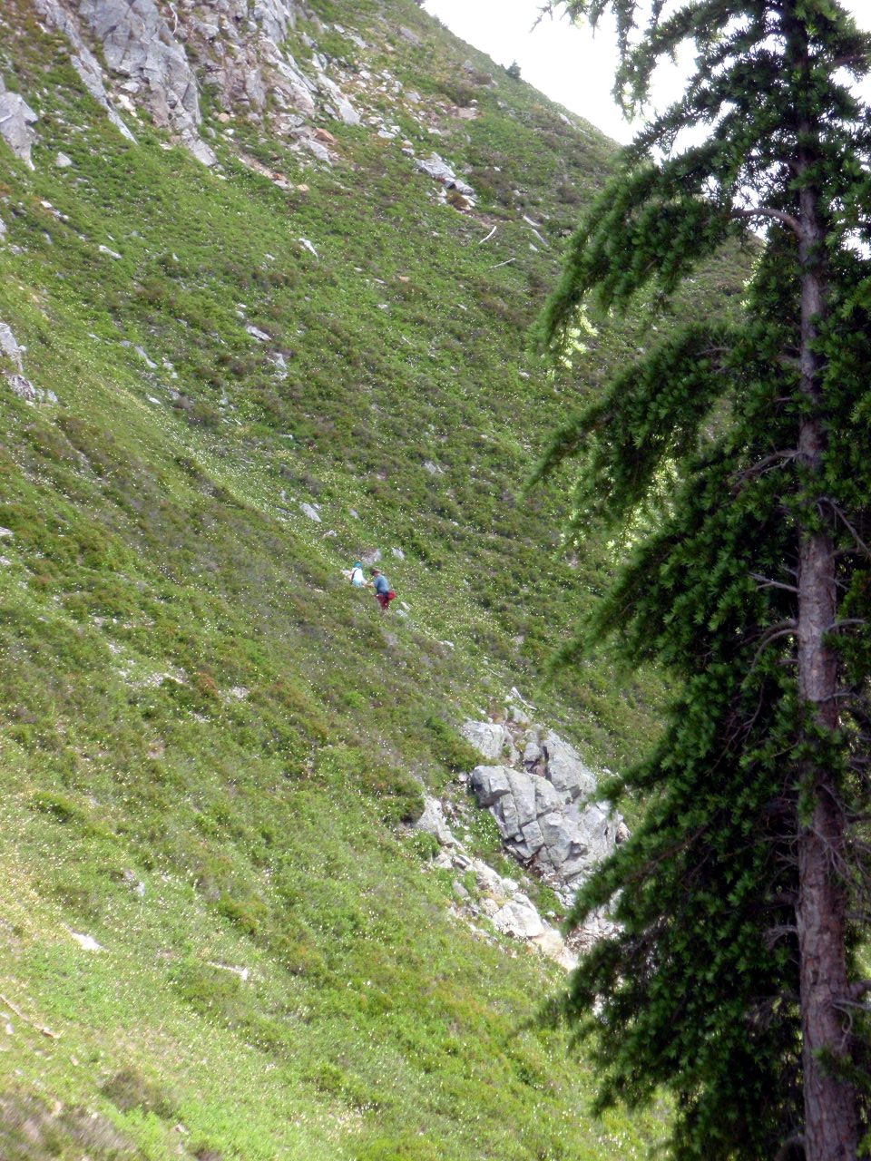
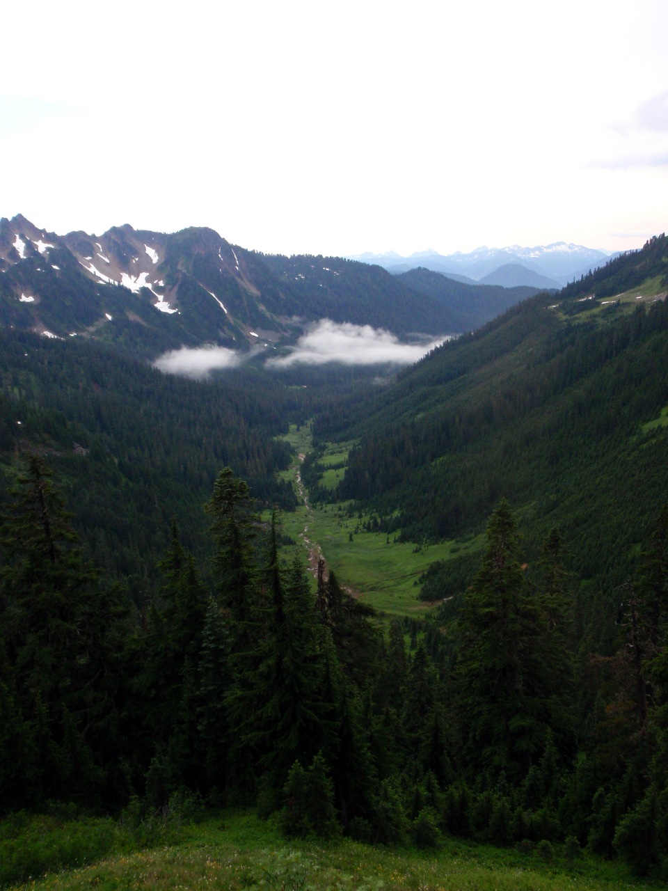
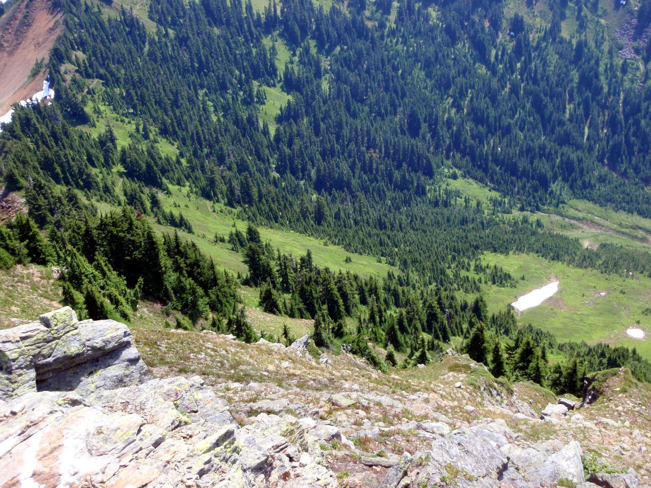
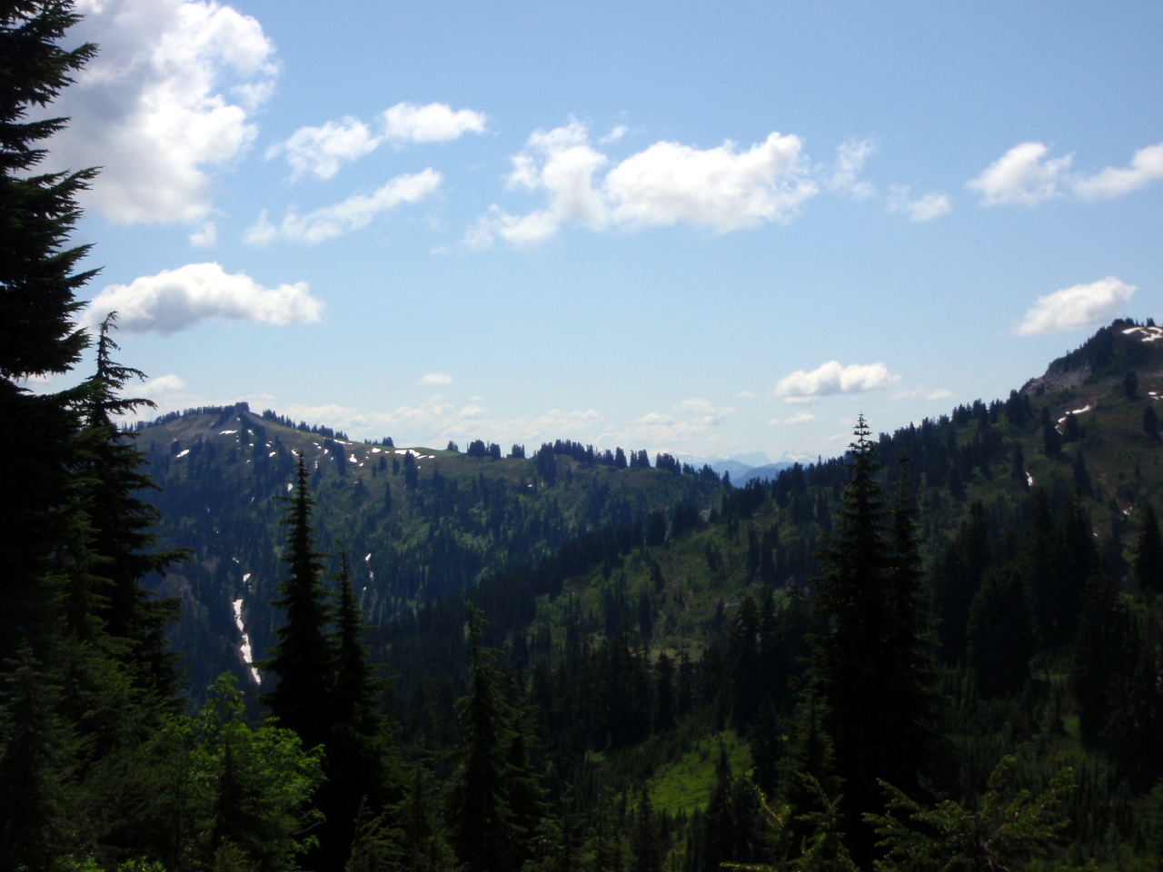
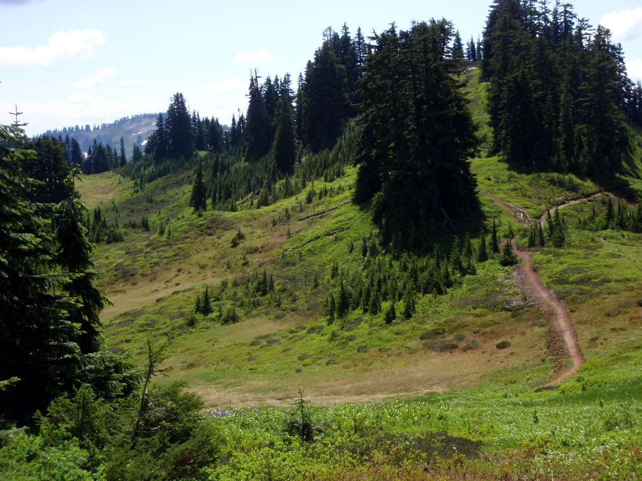
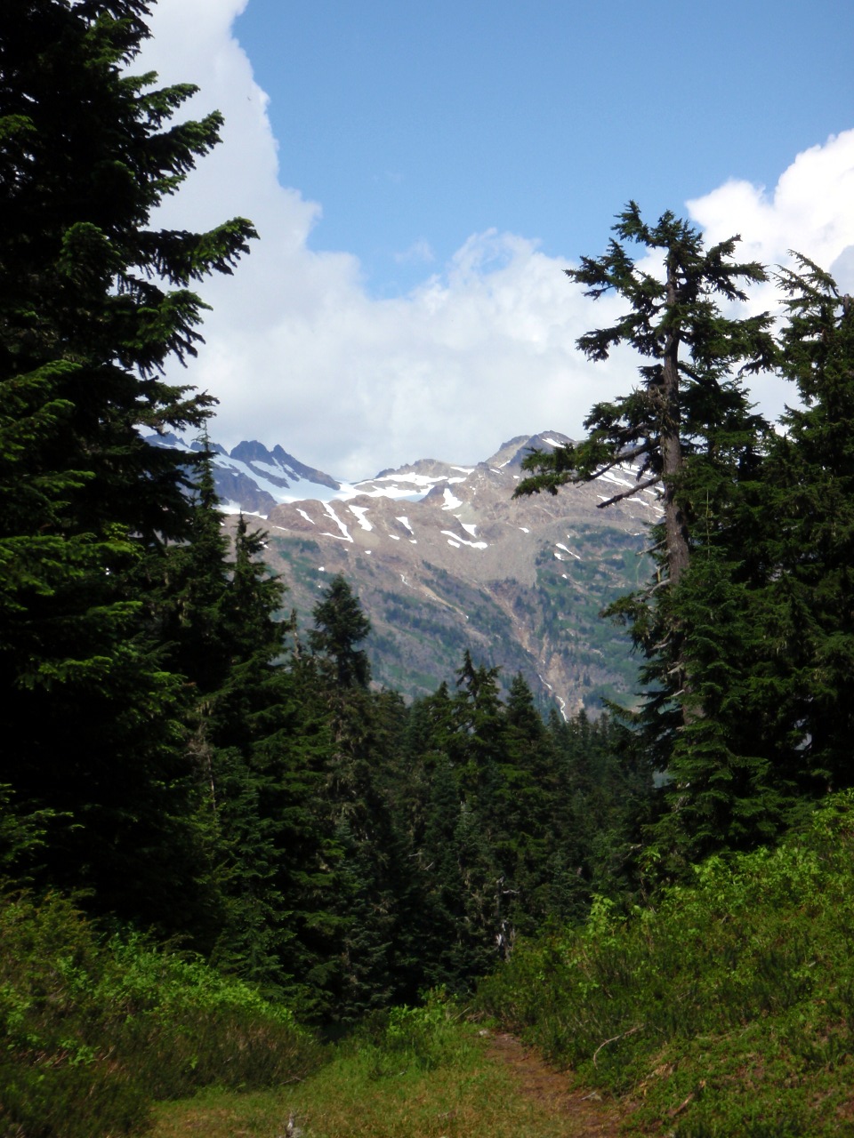
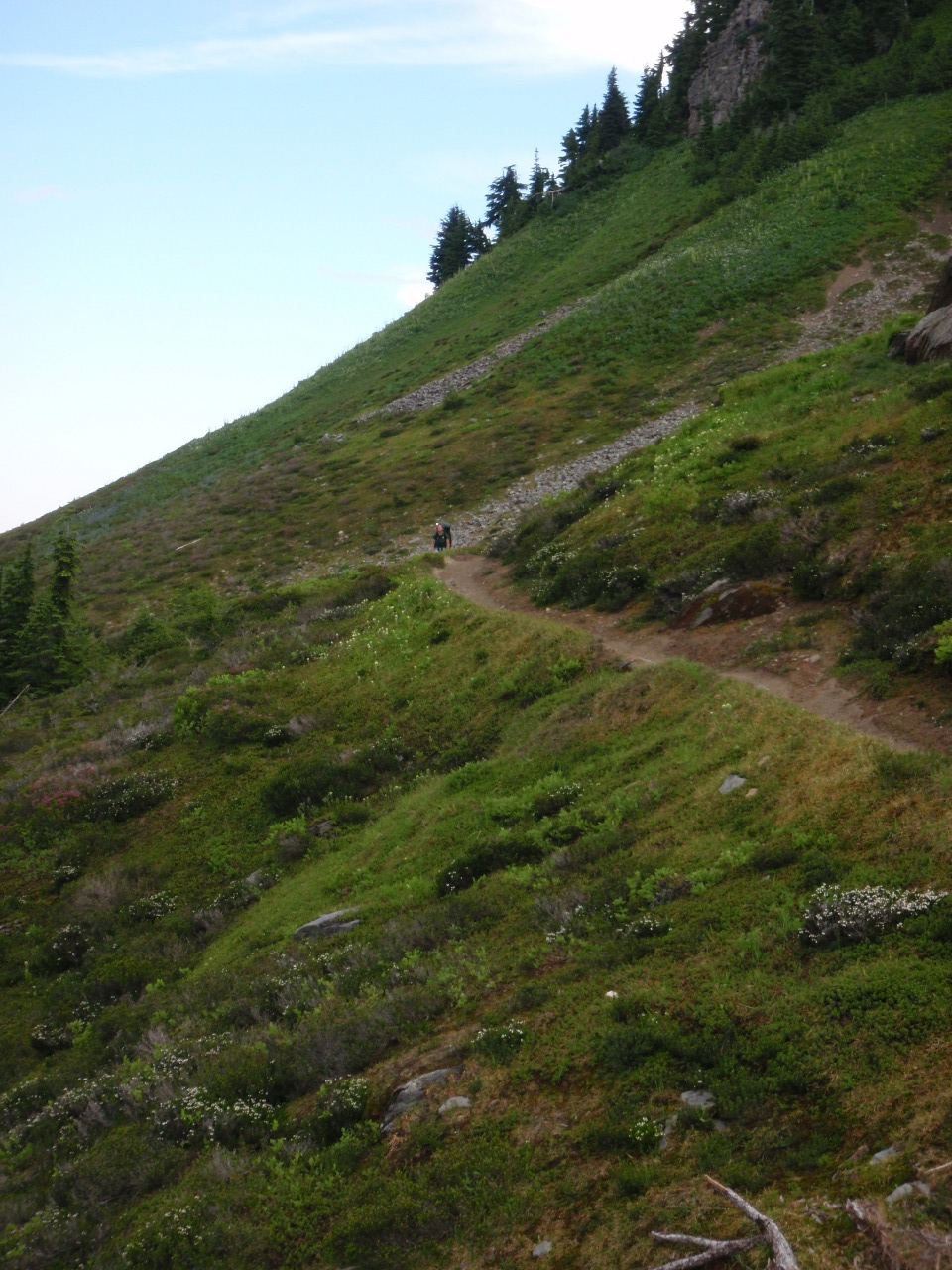
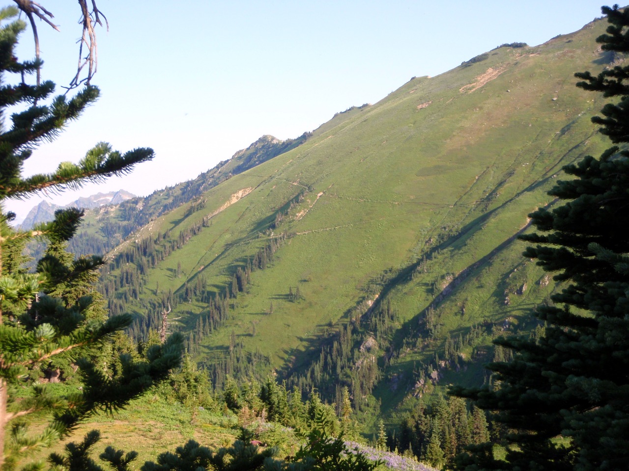
Sight along the Cady Ridge trail
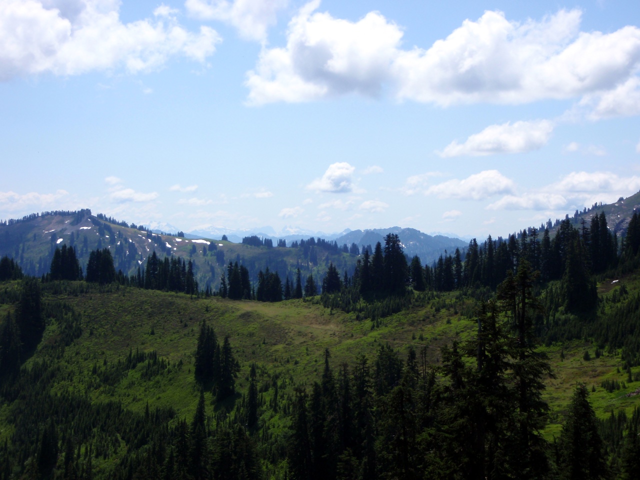
View to the south, across Cady Creek
-
-
-
-
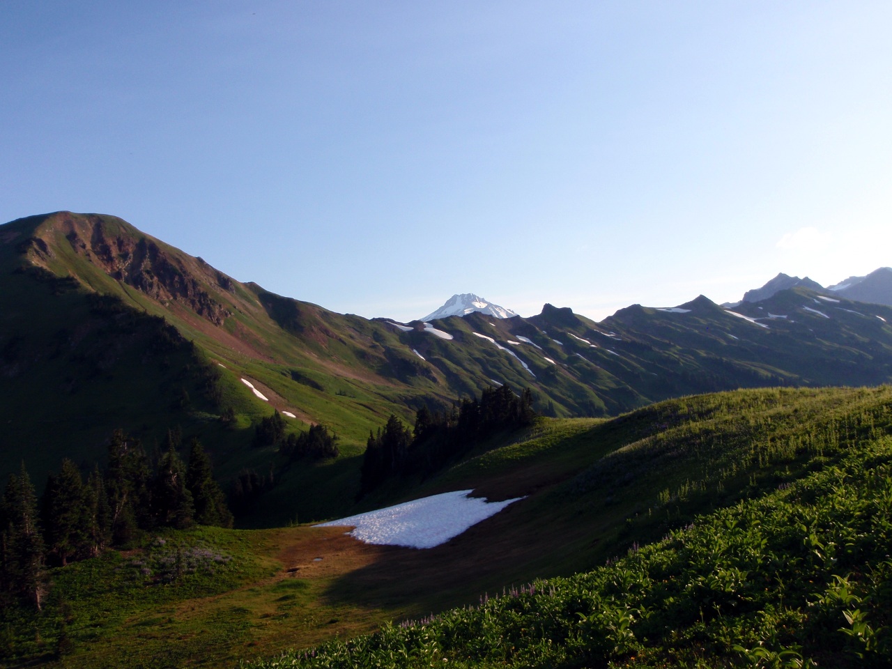
First view of Glacier Peak
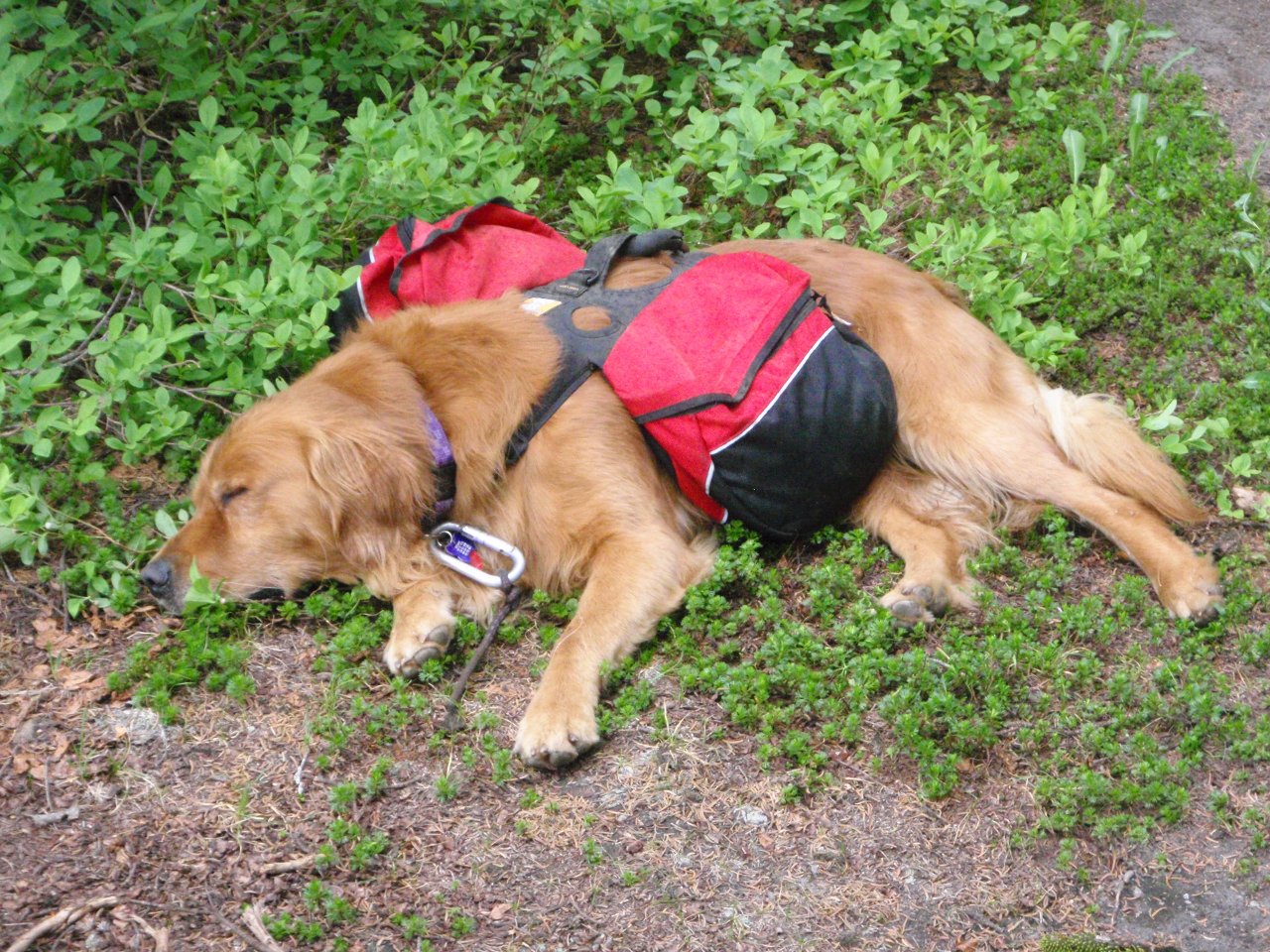
Pooped pooch
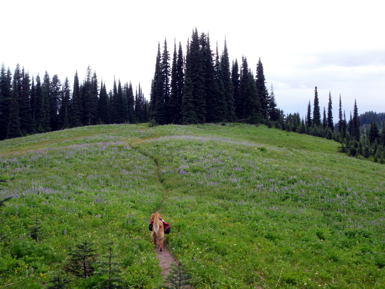
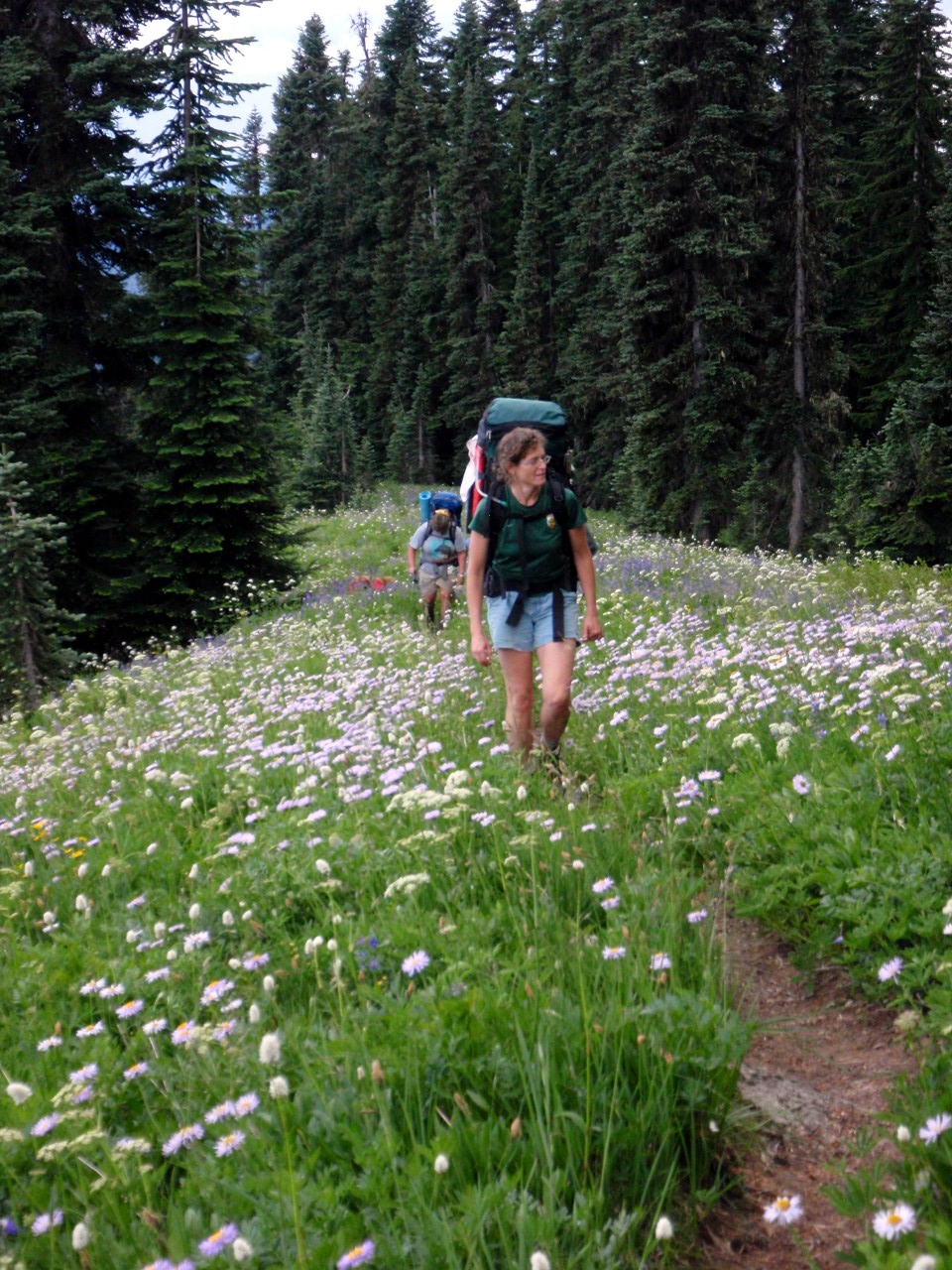
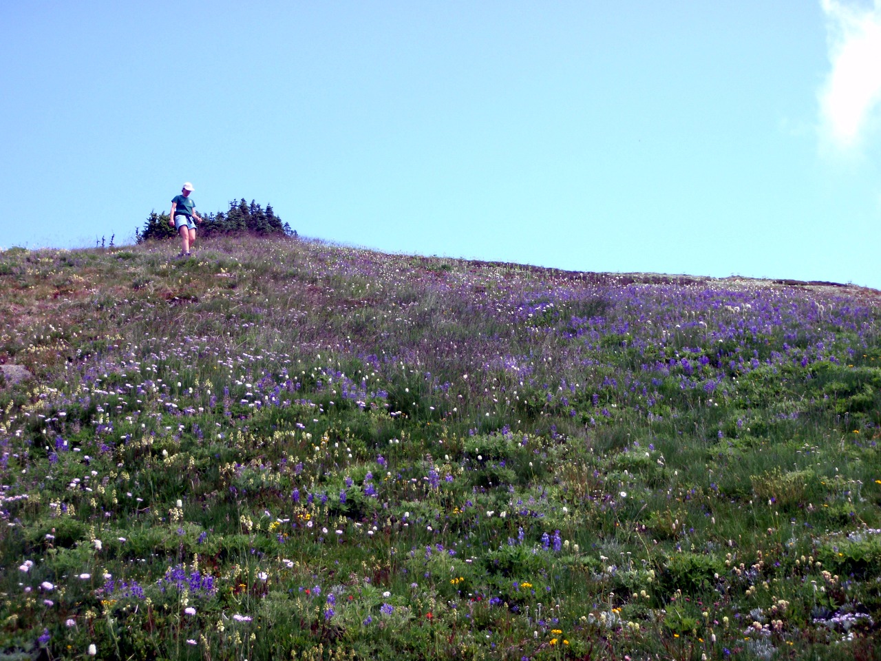
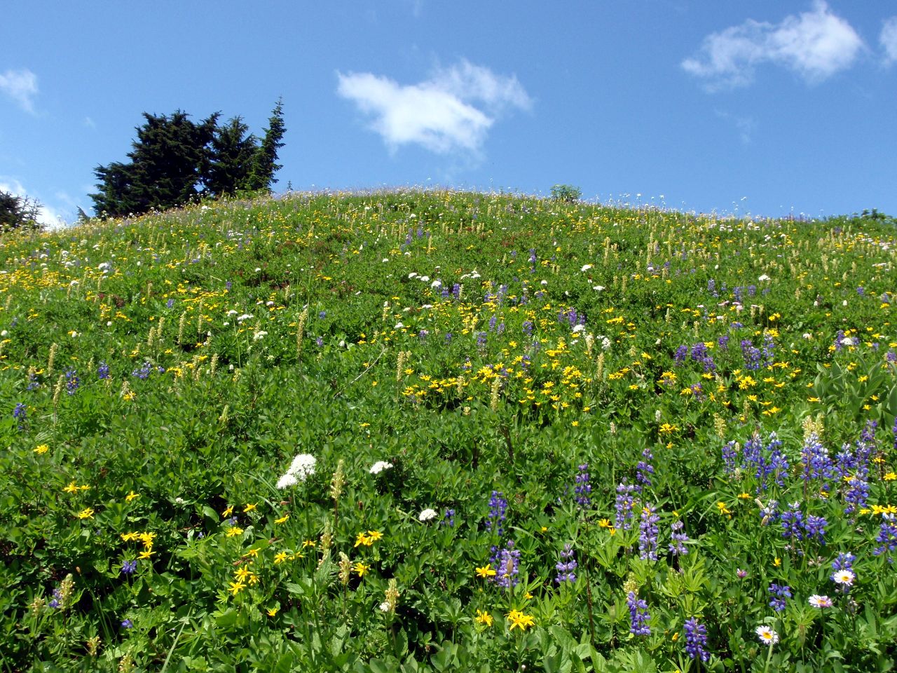
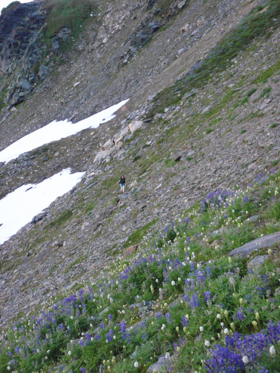
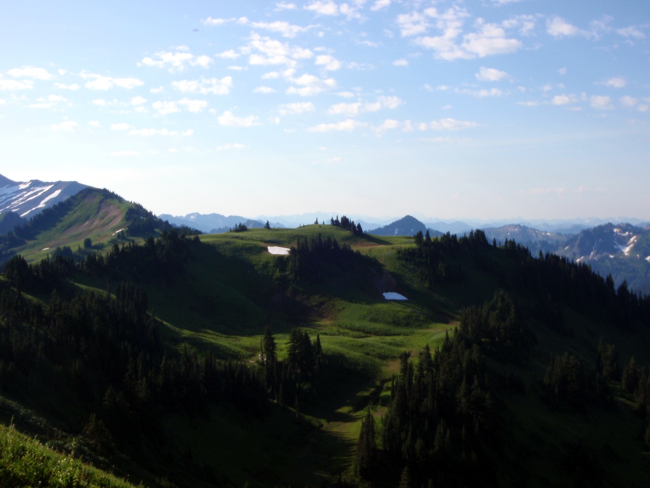
Meadow on Cady Ridge
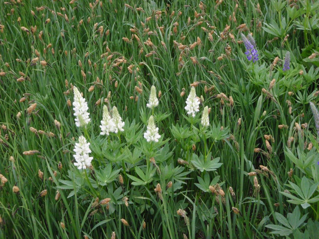
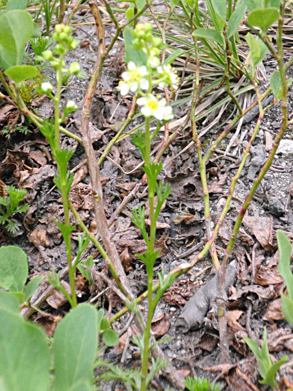
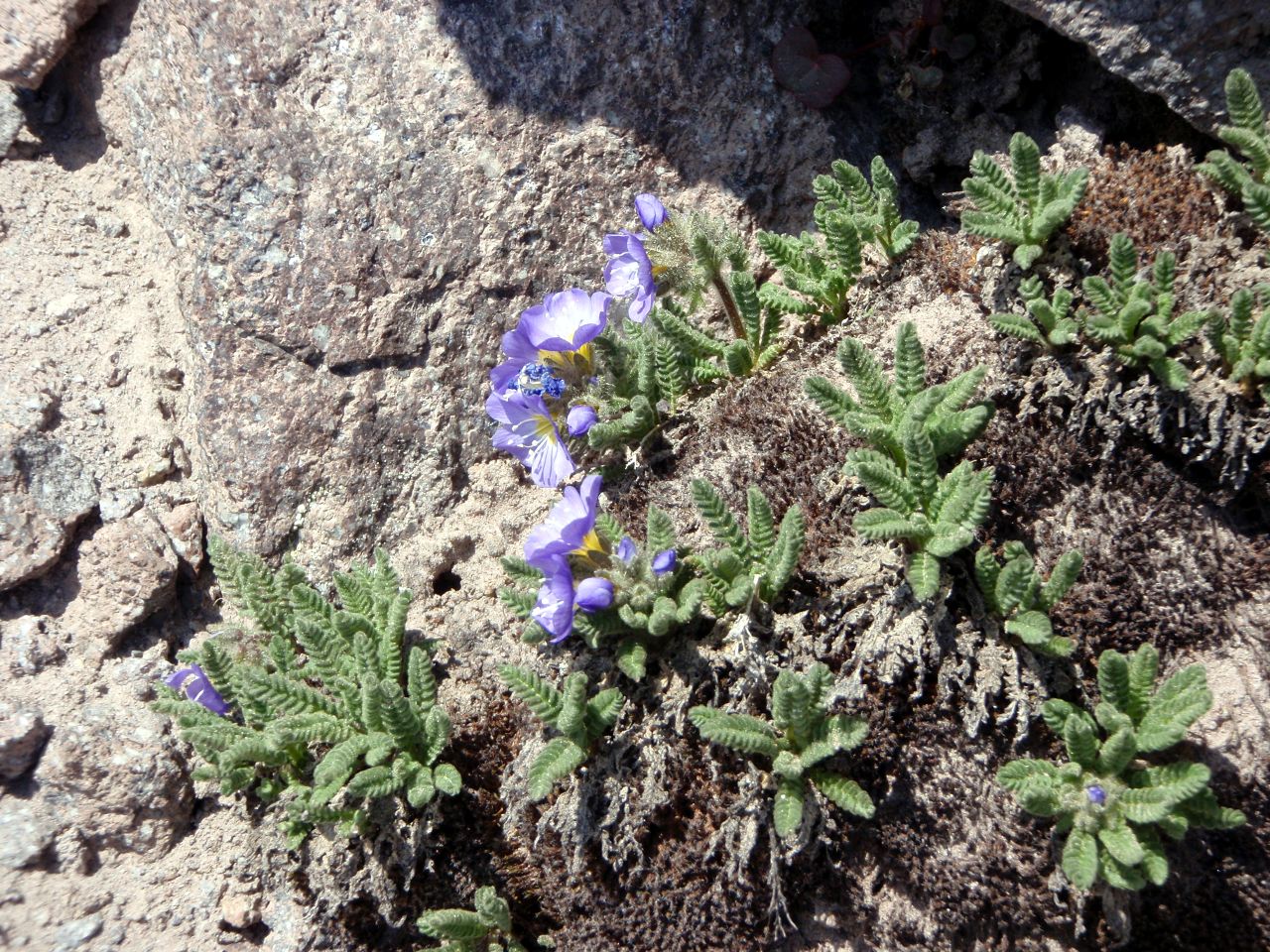
White Lupine

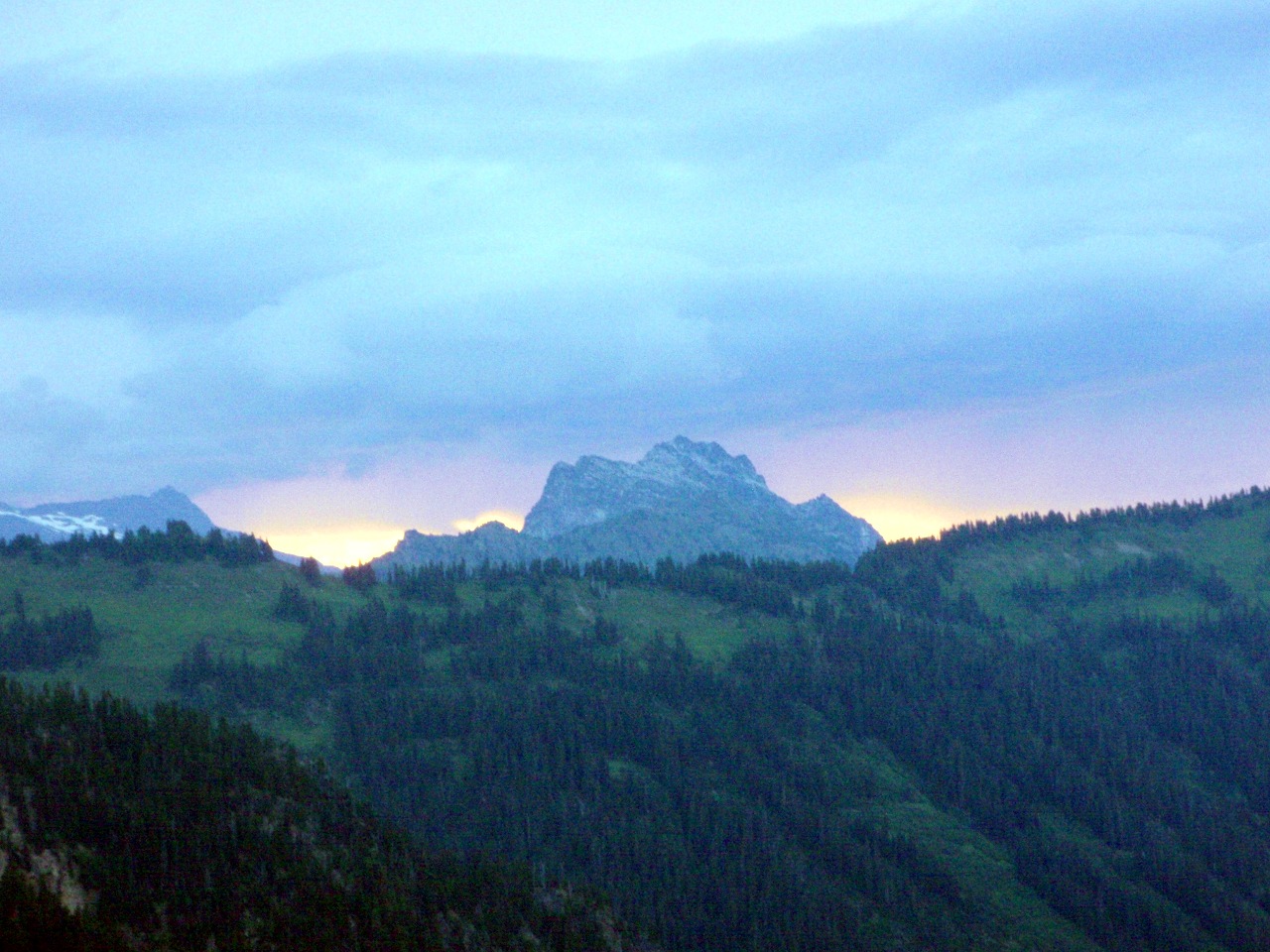
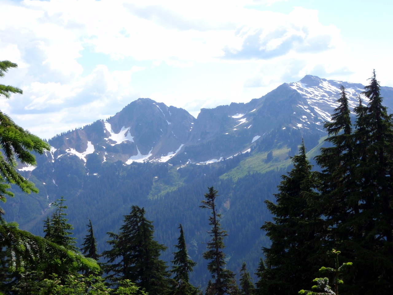
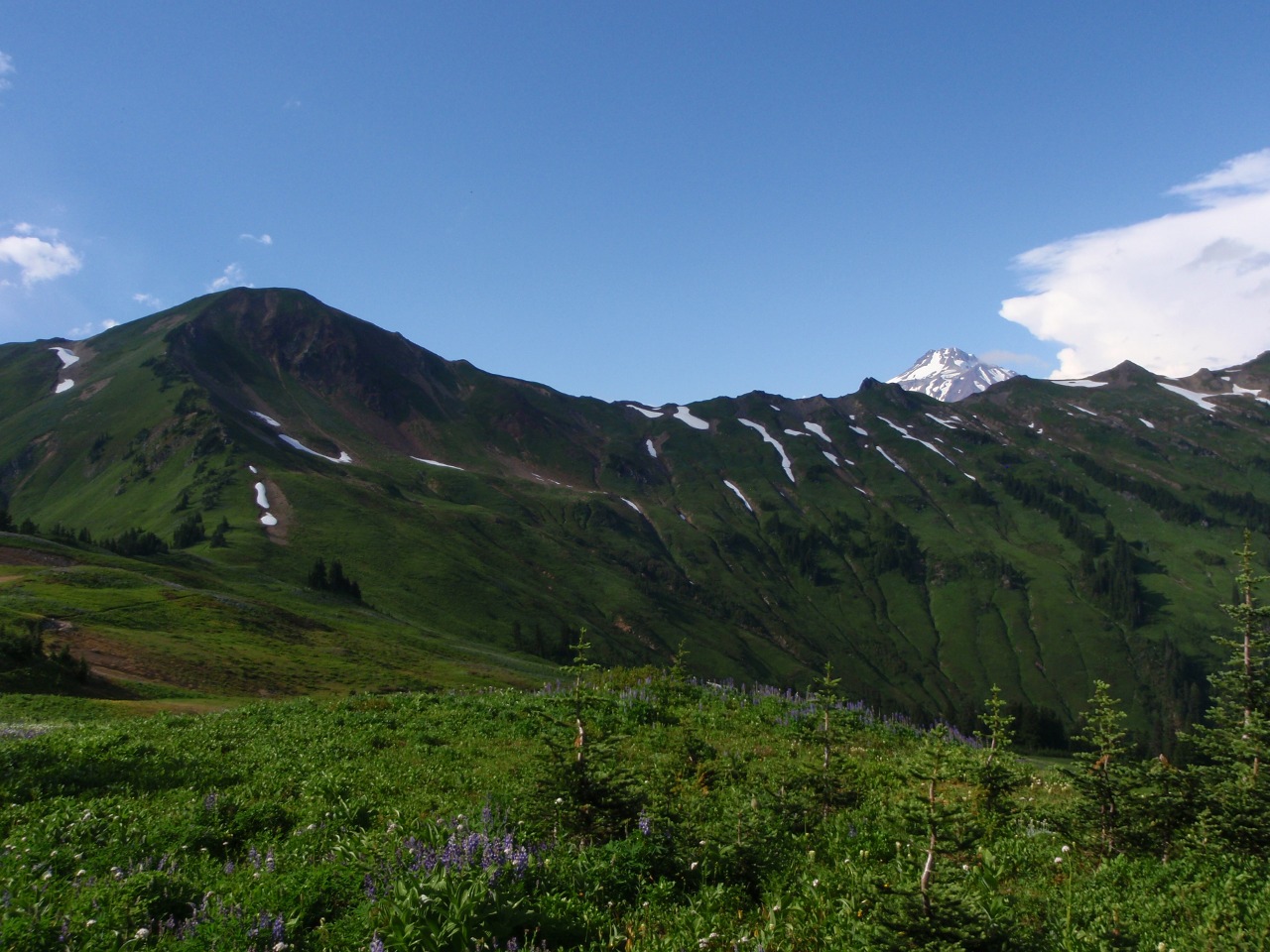
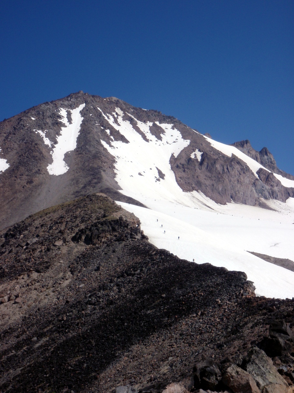
Another shot of Glacier Peak (and many more to come.)
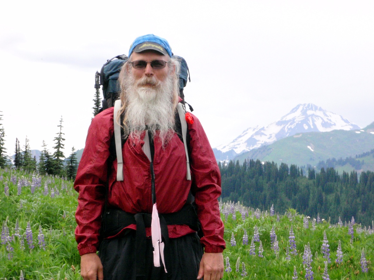
Glacier & I
-
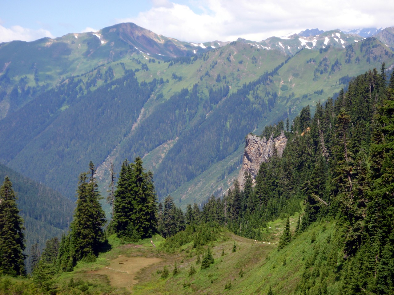
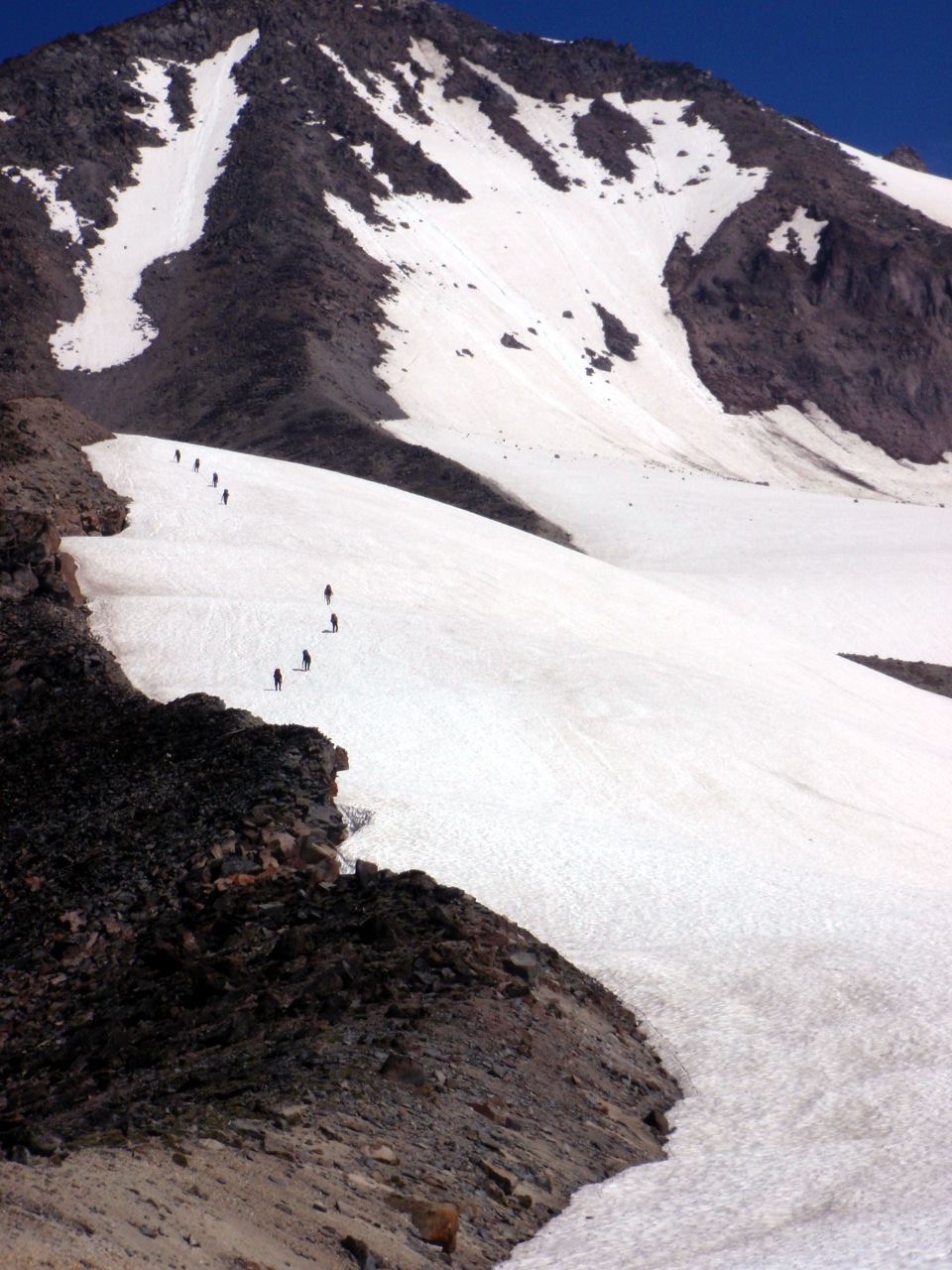
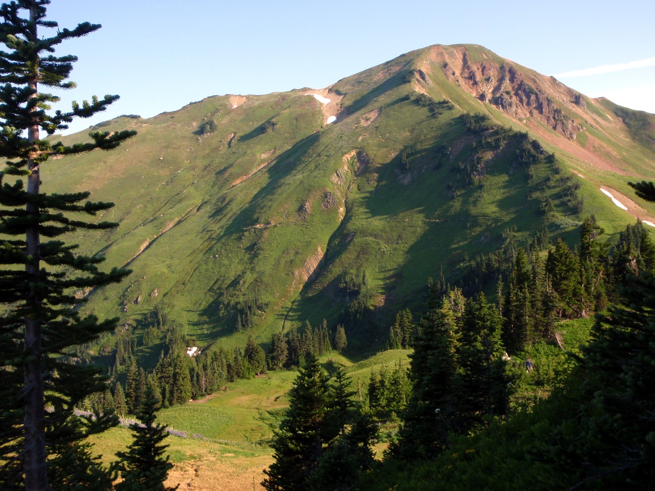
Continuing on Cady Ridge
-
View to the south
-
Glacier from our campsite
To the east

Dinner time
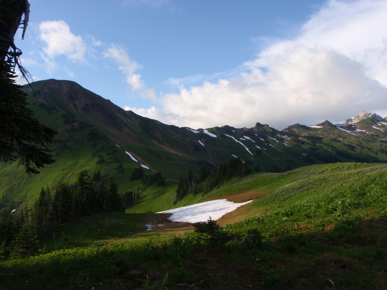
Saturday: day hikes near Lake Sally Ann. View east
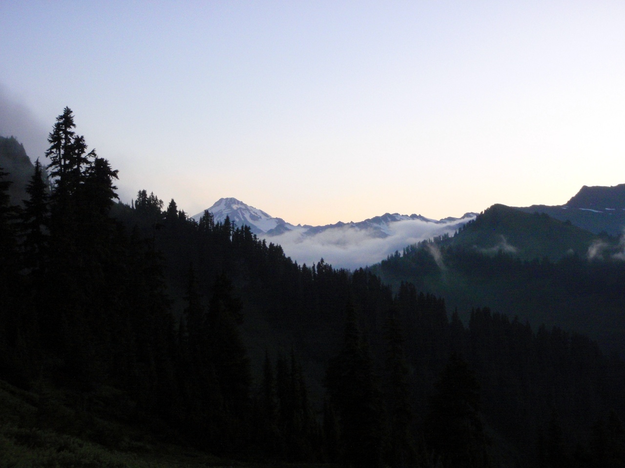
Early morning Glacier
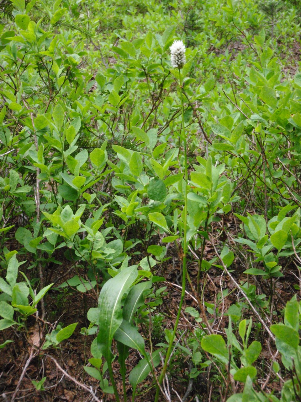
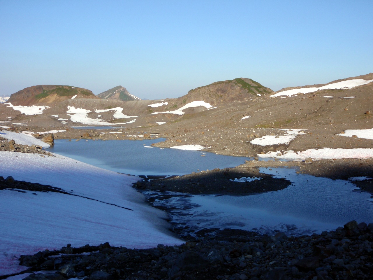
Avalanche debris on Lake Sally Ann
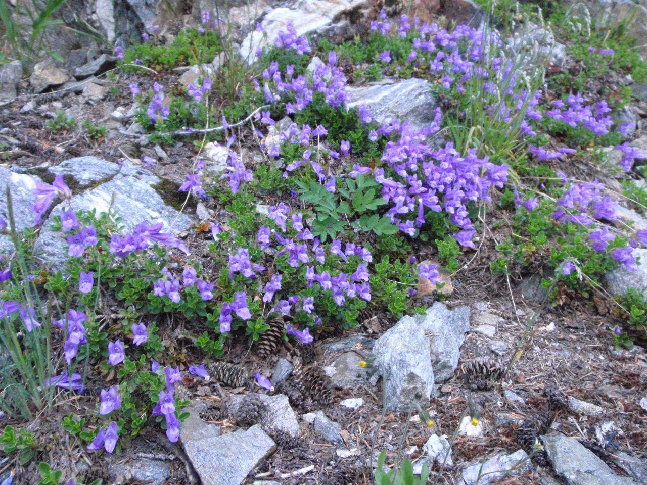
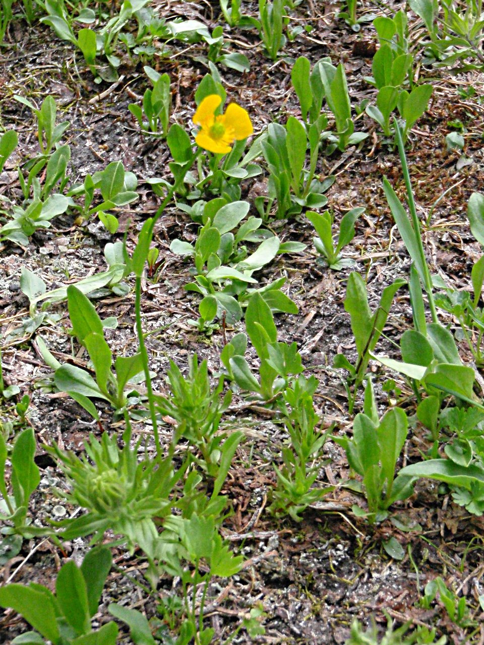
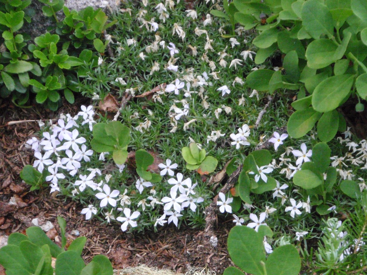
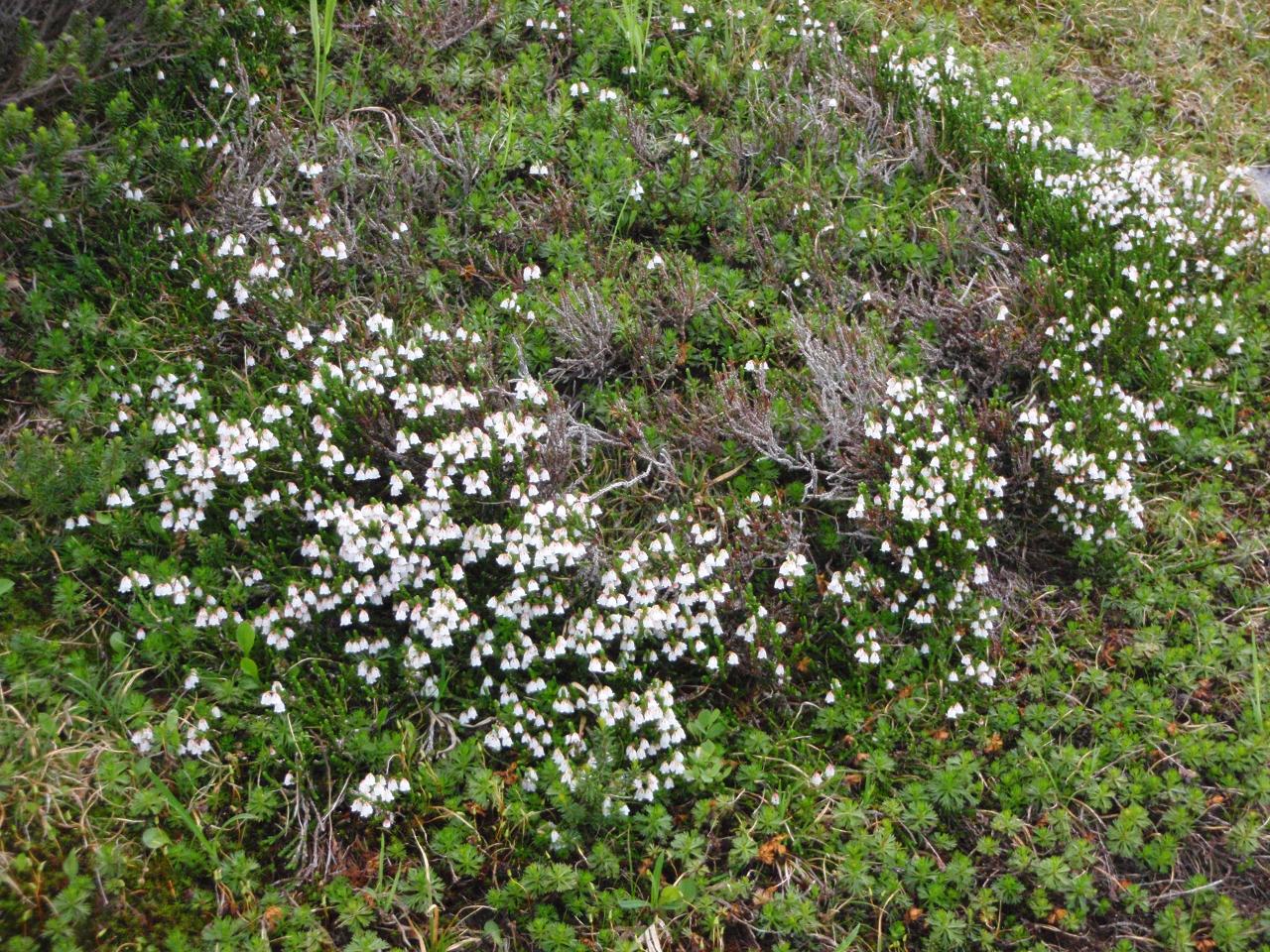
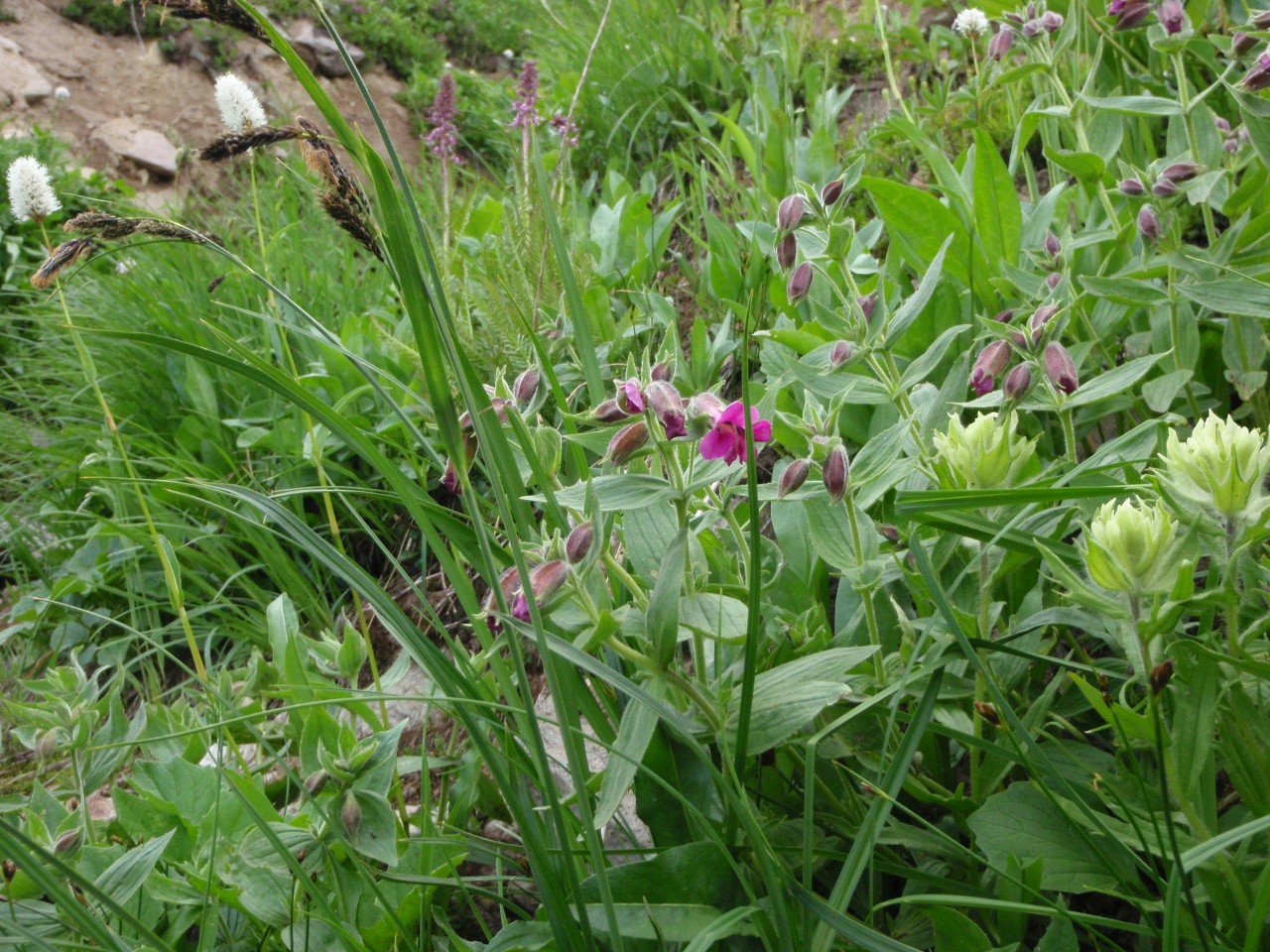
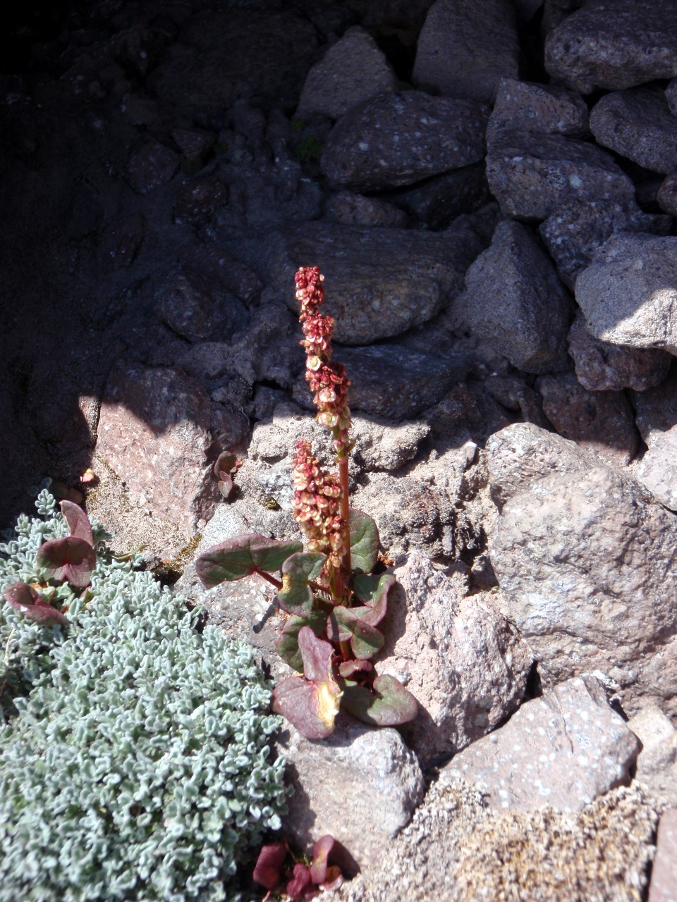
Penstemon
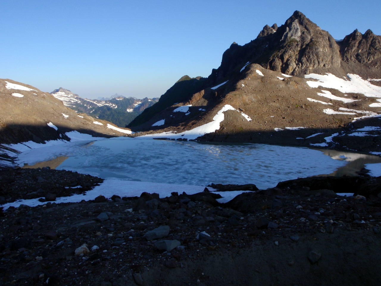
Lake Sally Ann from the PCT
Glacier, from PCT just south of JCT with Cady Ridge TR
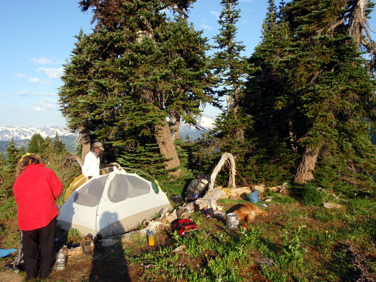
Breakfast time
Hill to north of camp
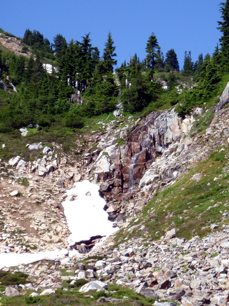
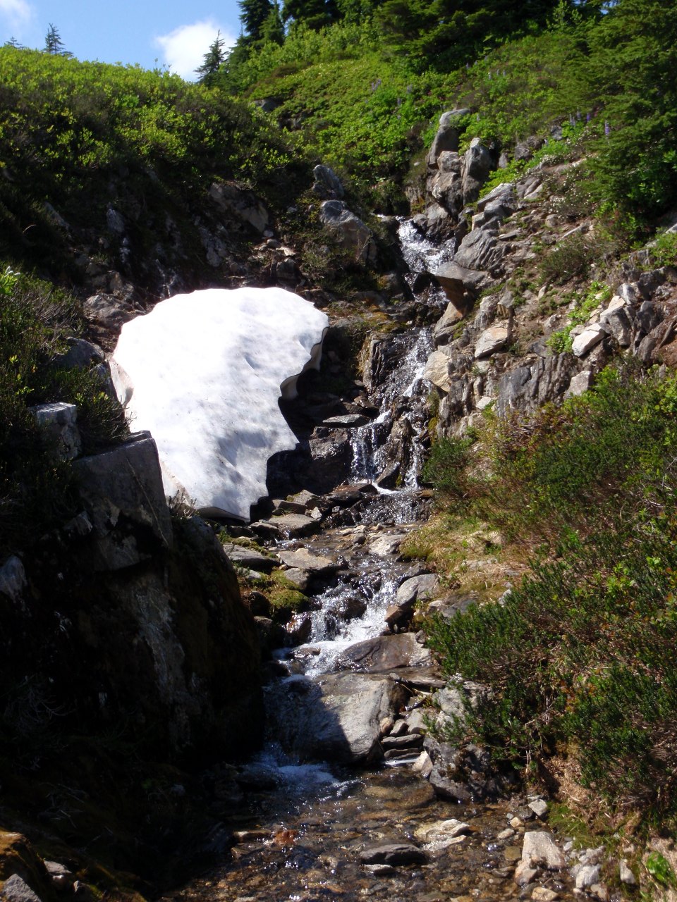
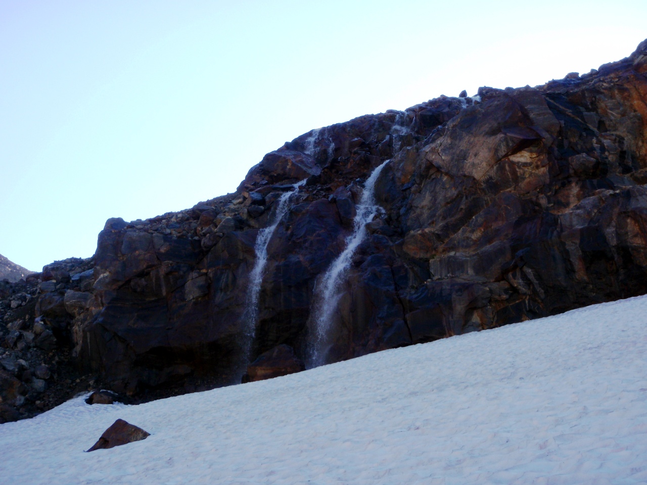
Waterfall above Lake Sally Ann
Avy debris on the lake
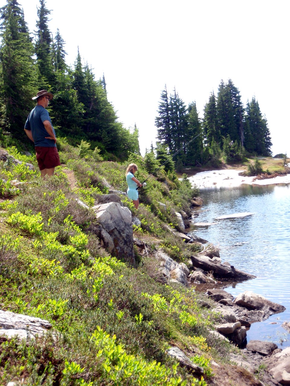
Neil watches daughter Beth fish
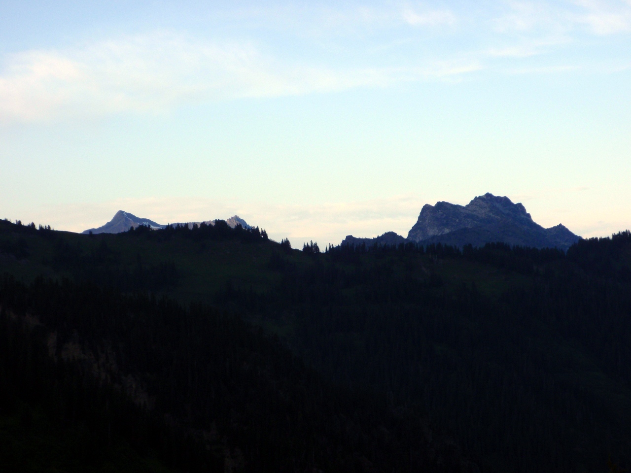
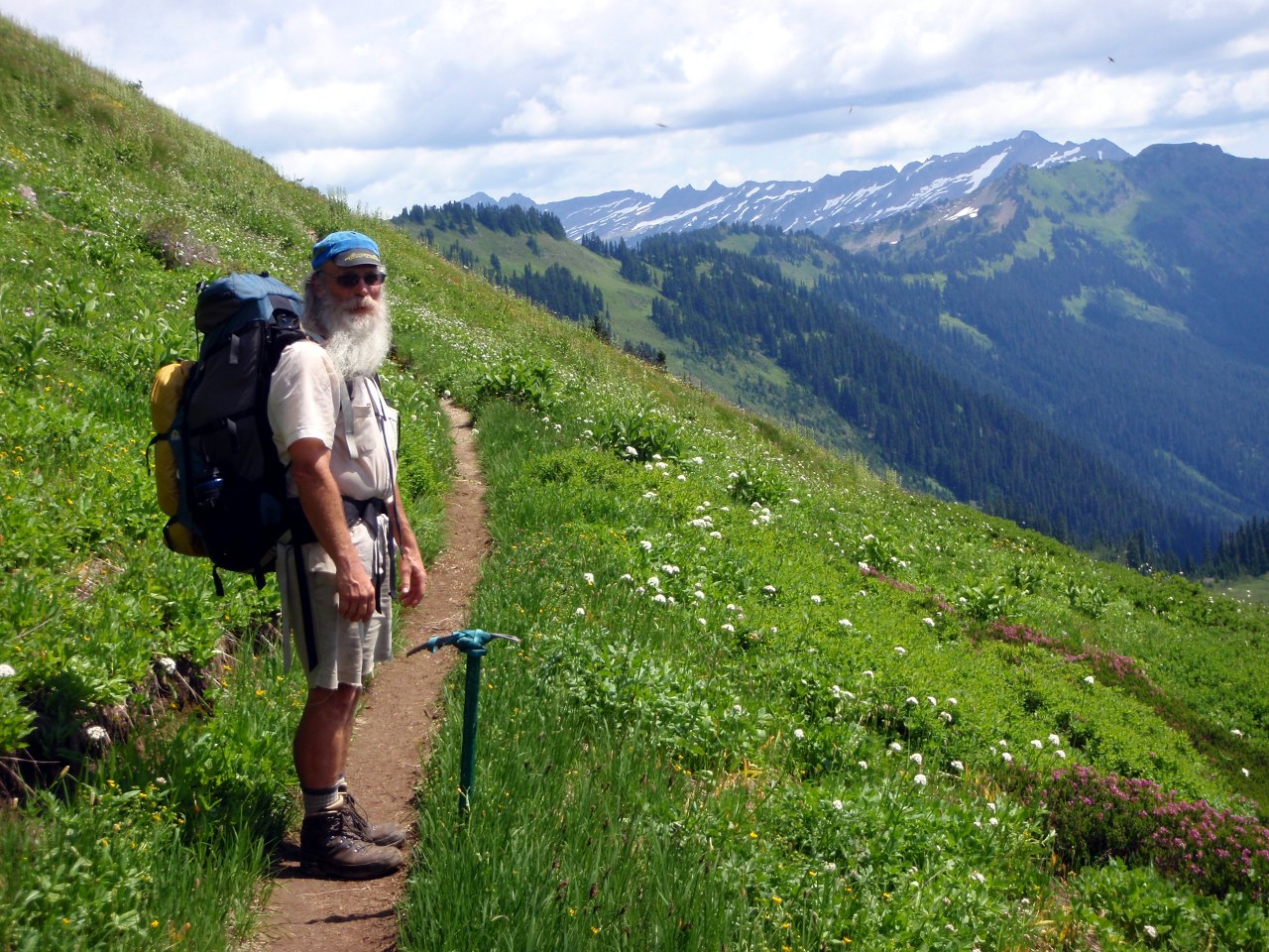
Guru Bill (we tried climbing Skykomish Peak, but were too far north)
First view of Sloan Peak
Glacier from ridge above the lake

View south
Neil and Beth descend the ridge
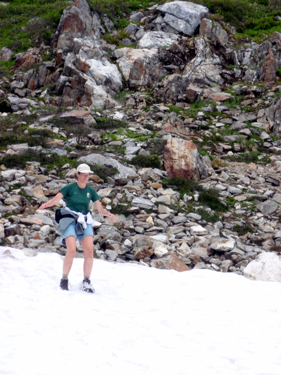
Lili skis the slope above the lake
Source of the waterfall
Bill crosses snowfield below the ridge
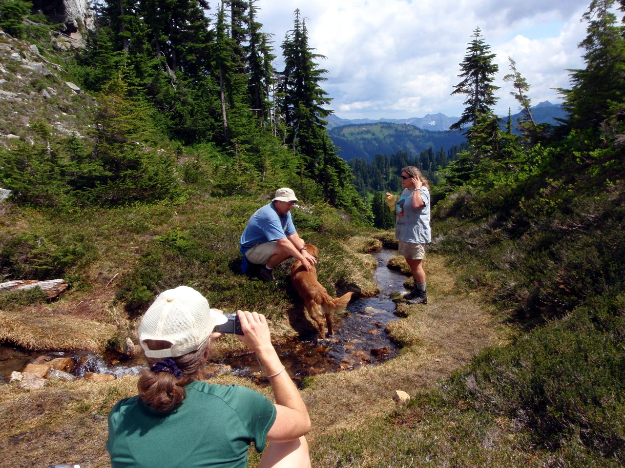
Photo op above the waterfall
-
Side view of the waterfall
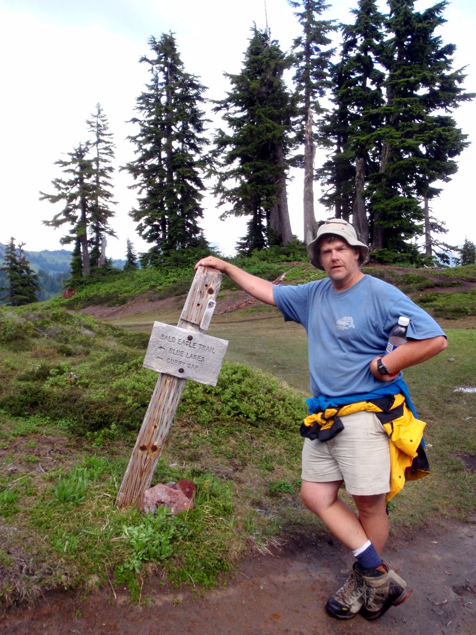
After sitting out T-showers in our tents, Mindy, Bill, Lili and I hike north on the PCT. Bill poses at trail JCT on the PCT
North Fork Skykomish River valley
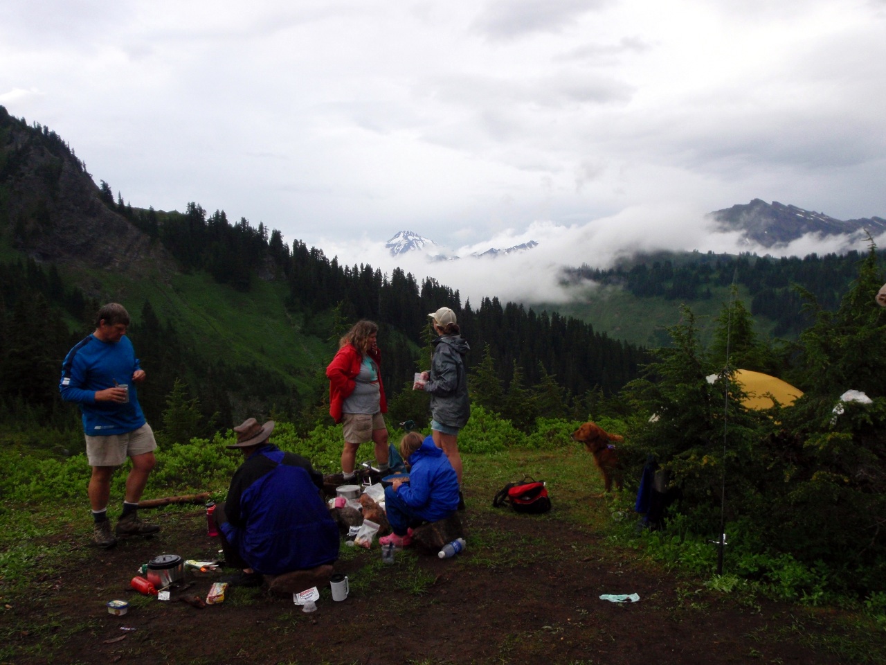
Dinner after the storm
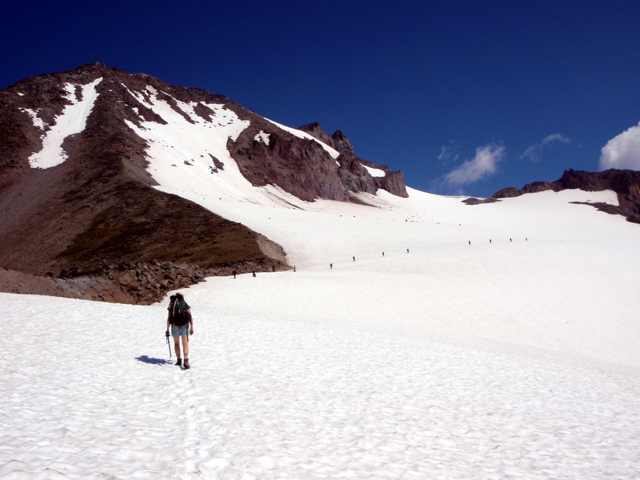
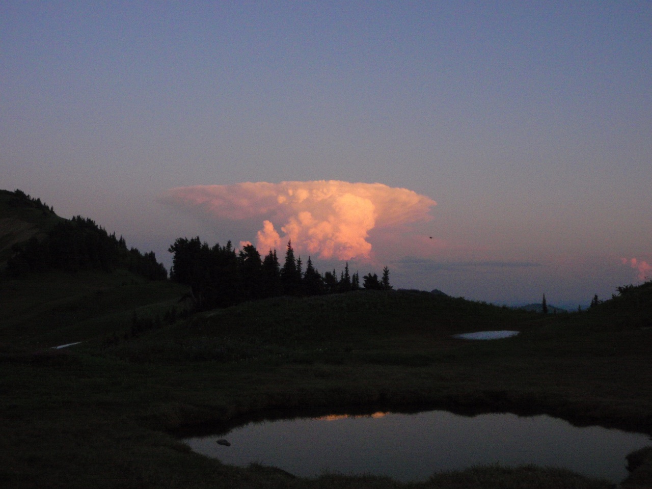
Sunday: Bill, Neil and Beth hike out via Cady Creek. Mindy, Lili and I head north to White Pass. Second morning at camp
On the PCT headed to White Pass
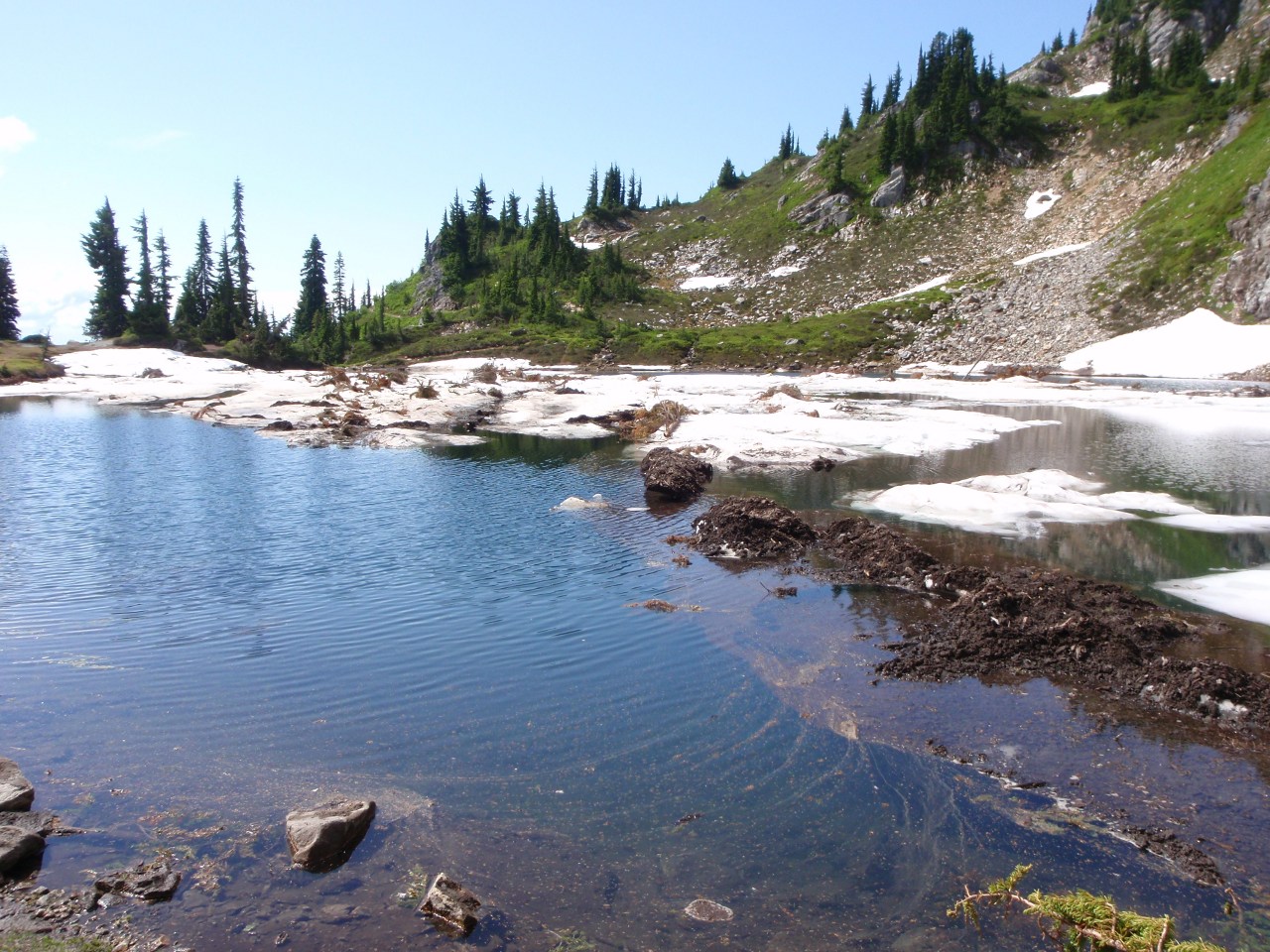
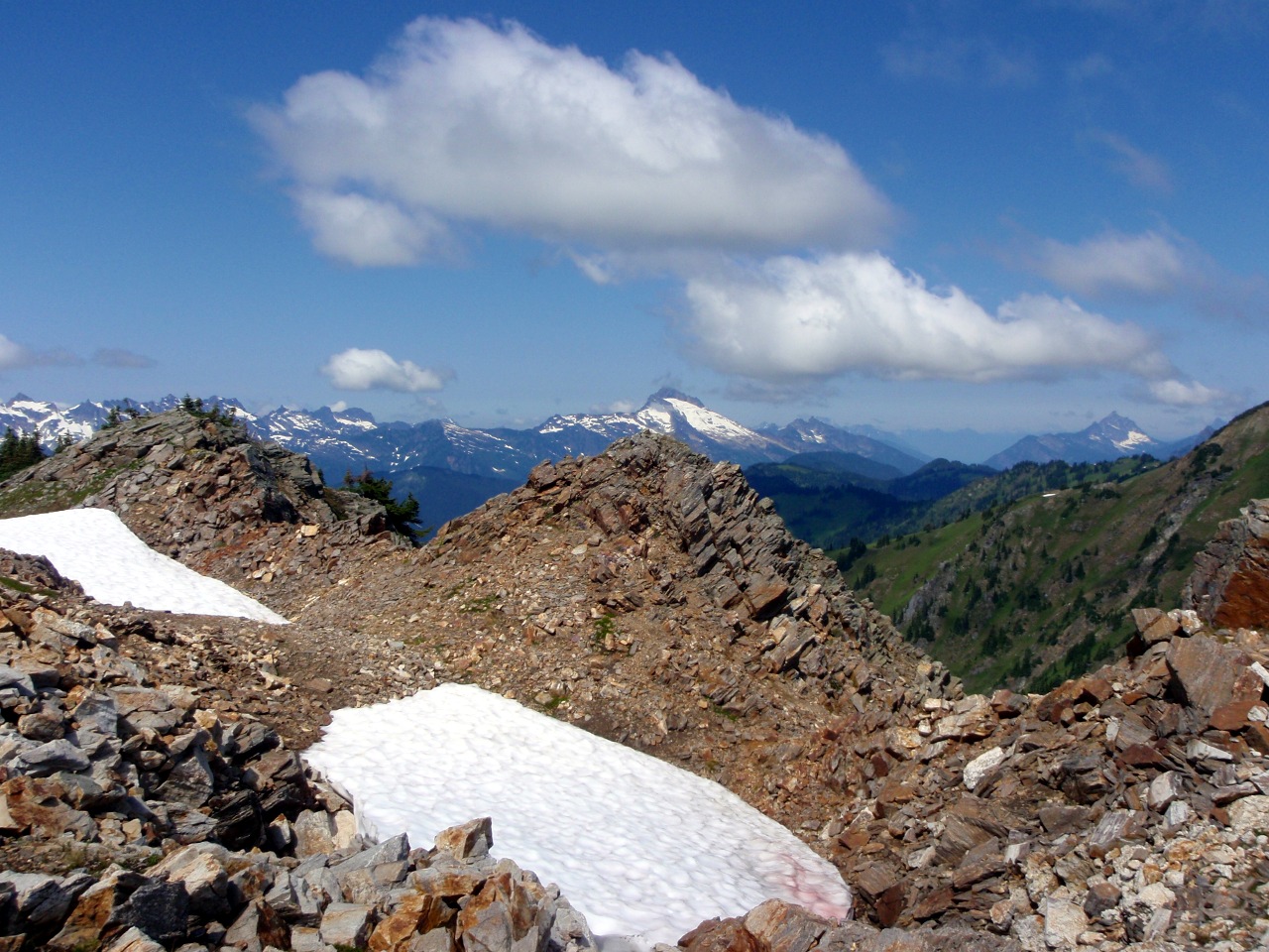
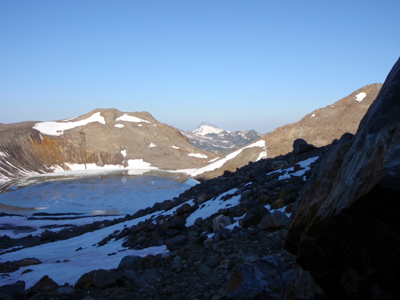
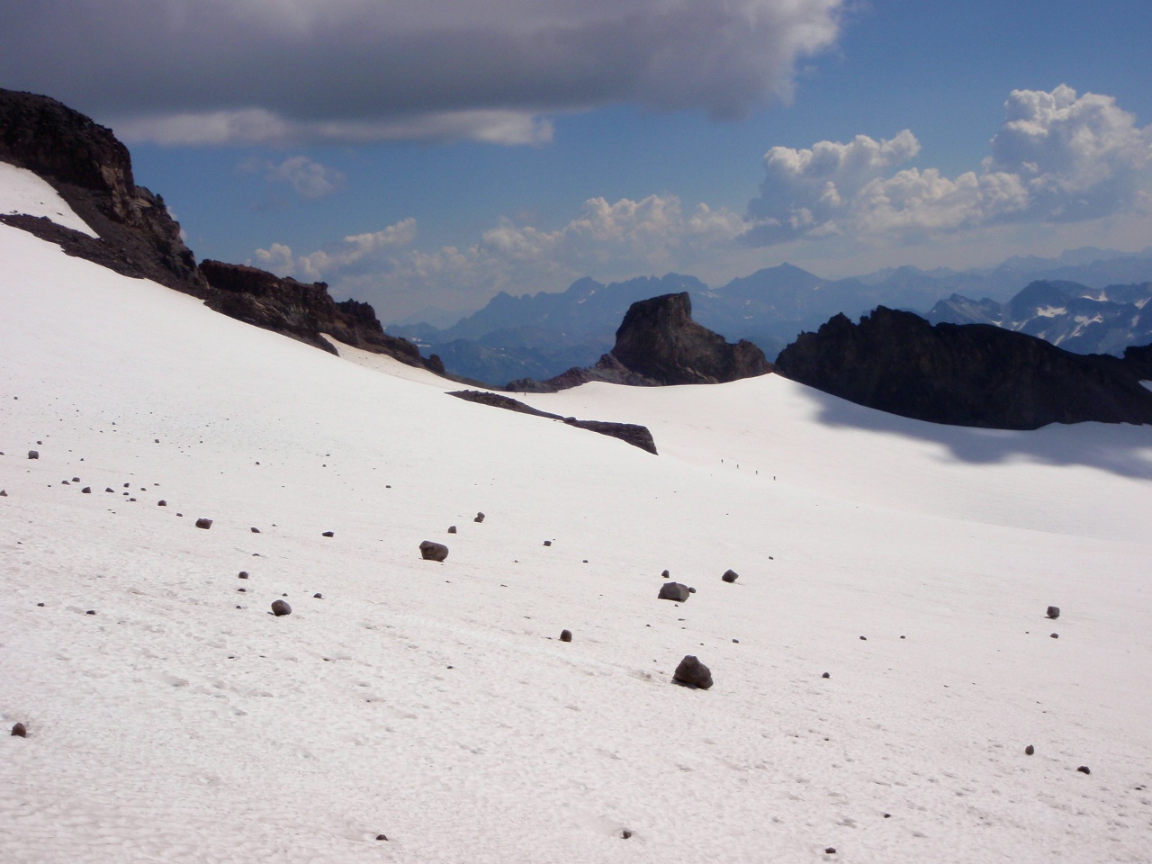
Lili and I took a small detour to climb point 6562. Blue Lake from pass below point 6562
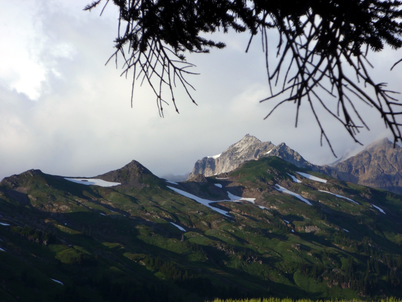
Sloan Peak from point 6562
Glacier, again
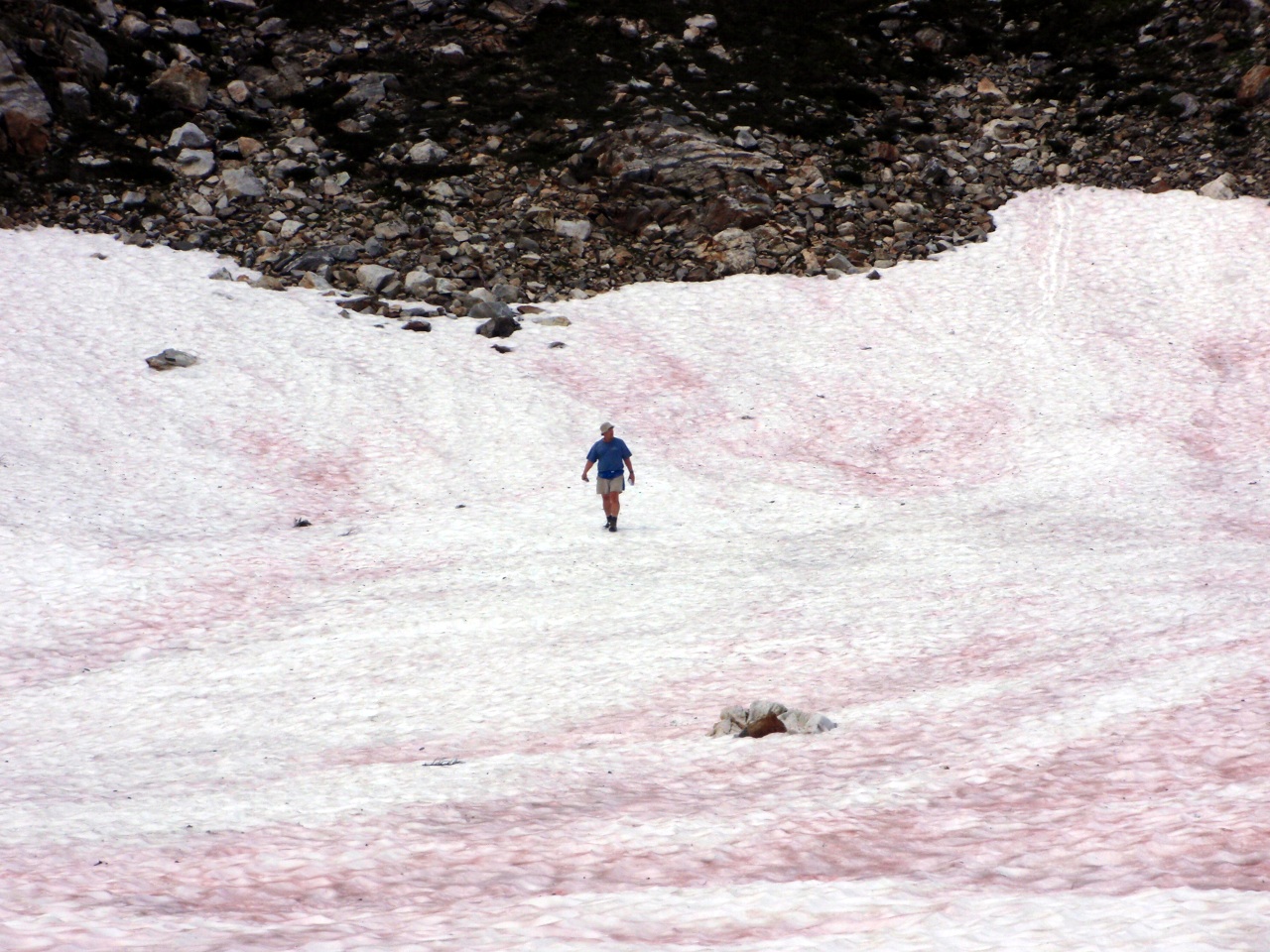
Another self-portrait
Blue Lake and Johnson Mountain
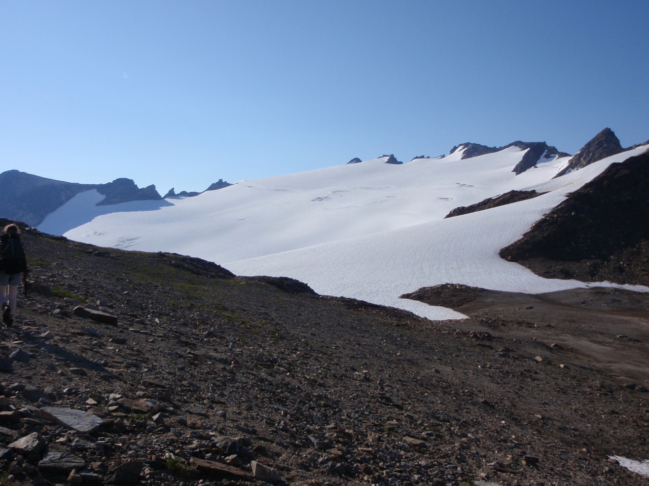
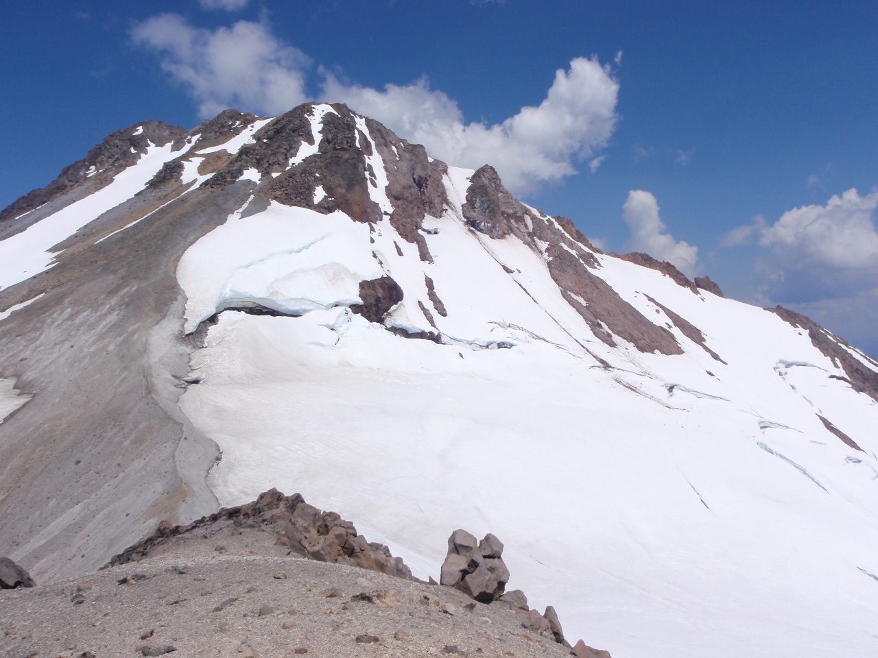
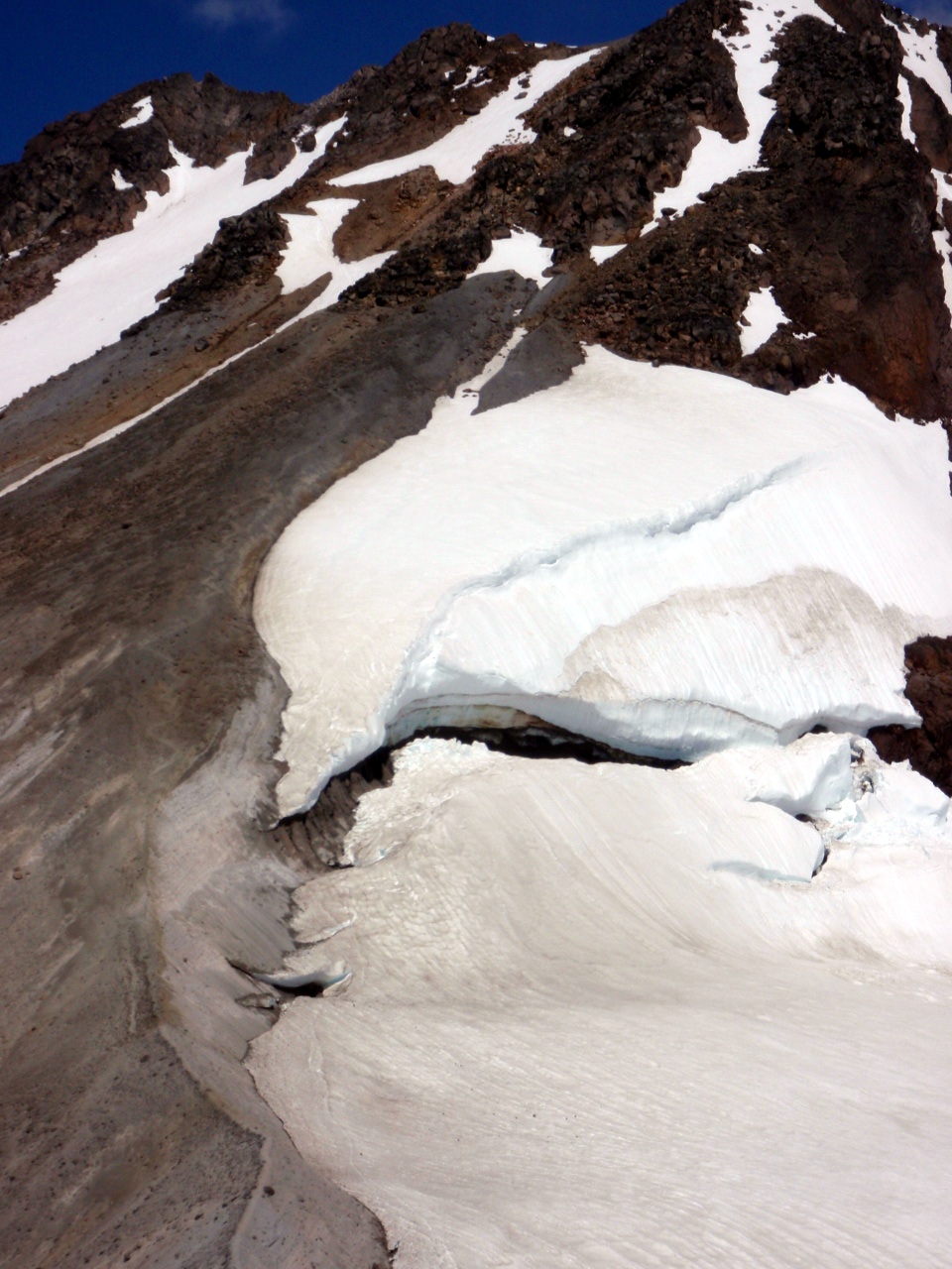
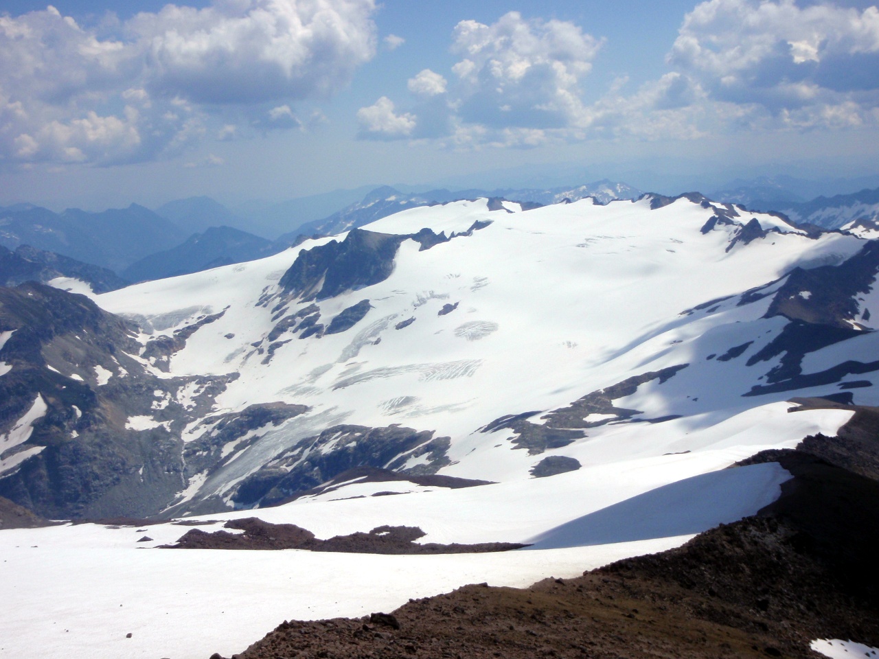
White River Glacier
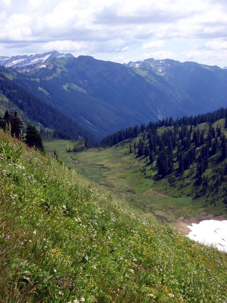
Headwaters of the North Fork of the Skykomish
Descending meadows of point 6562
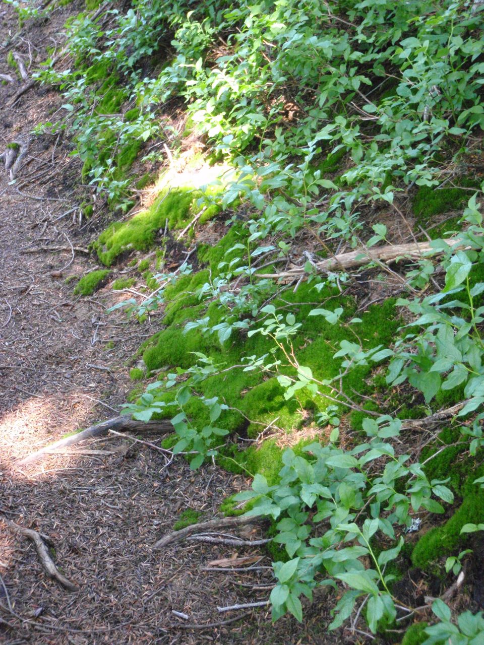
Moss along the trail
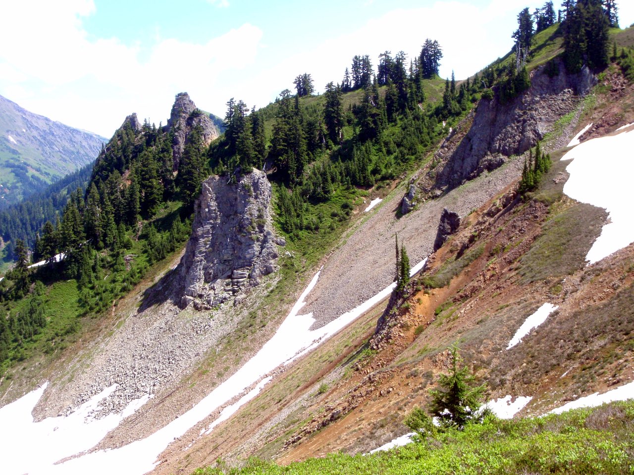
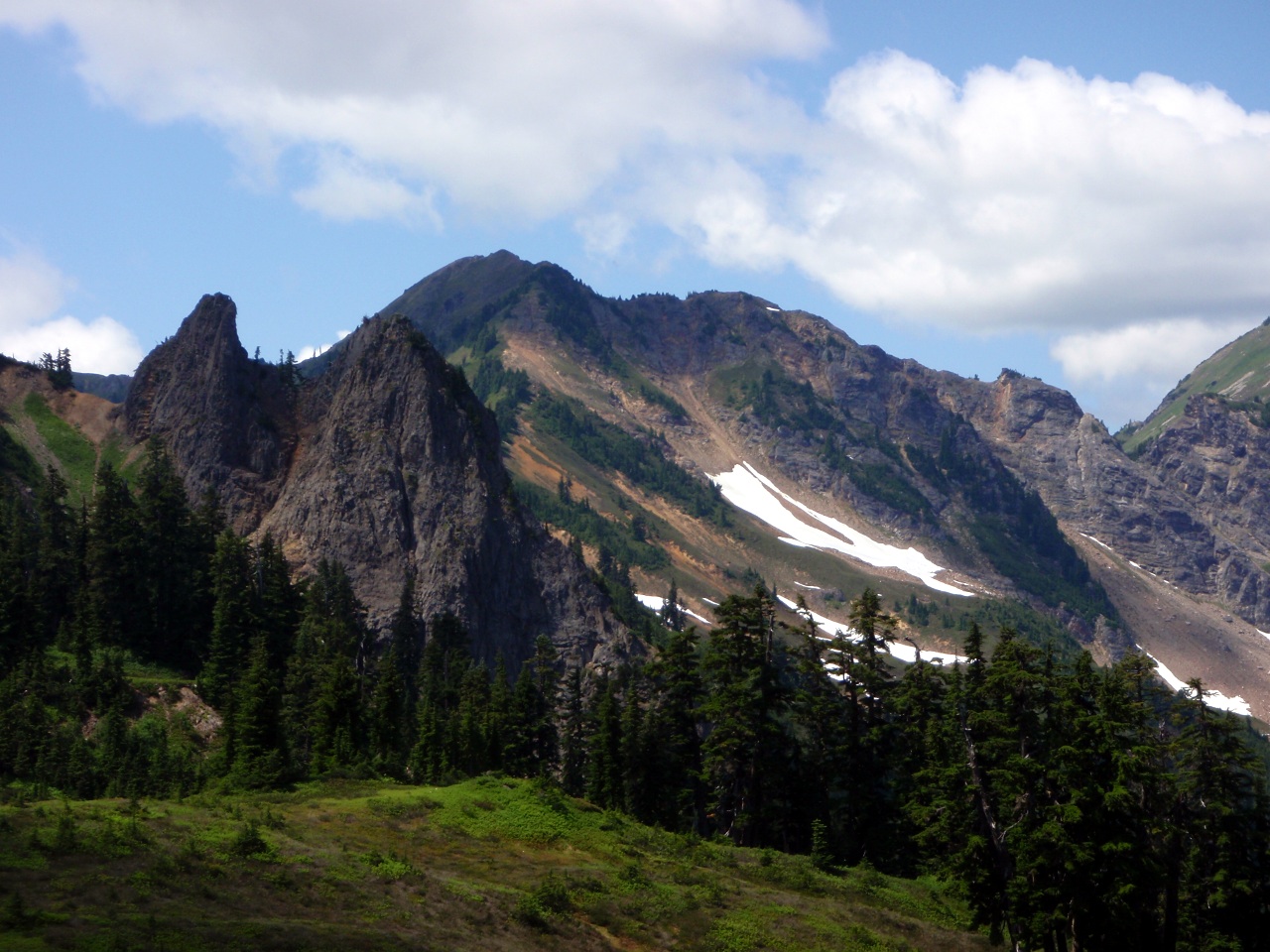
Rock formations
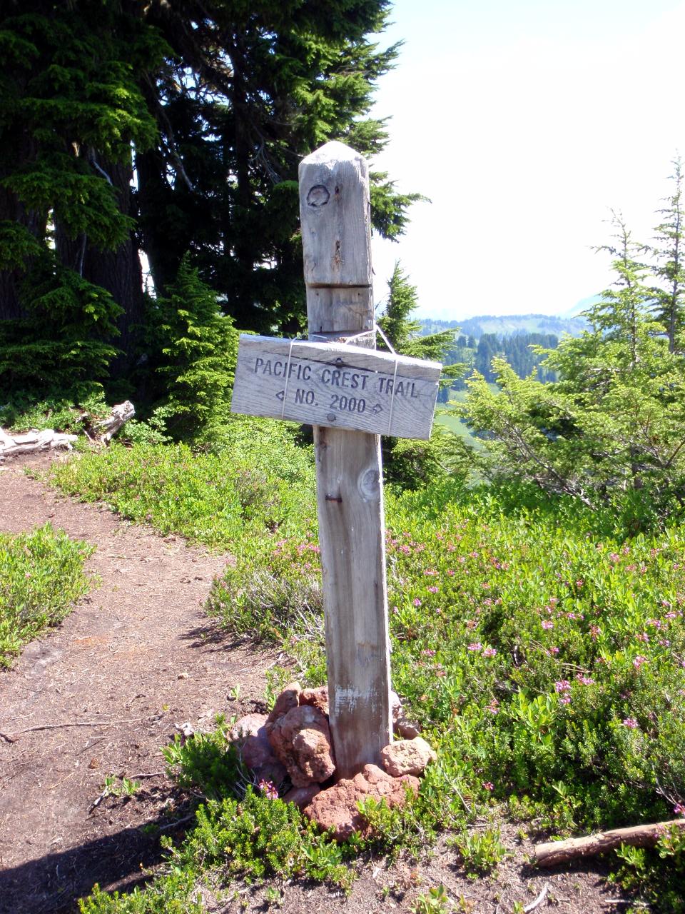
Back at the PCT
Other side of the rock formations?
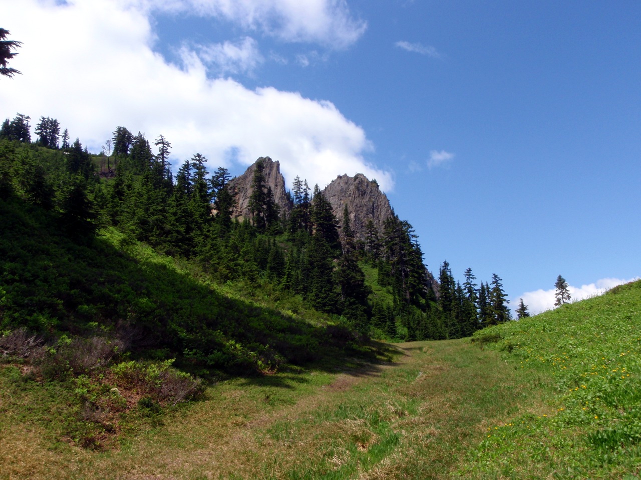
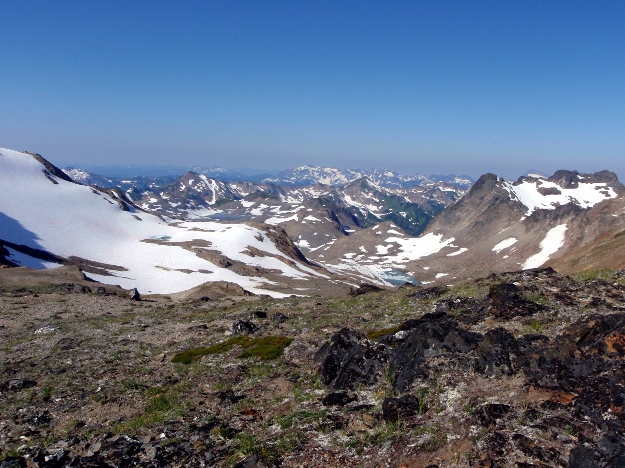
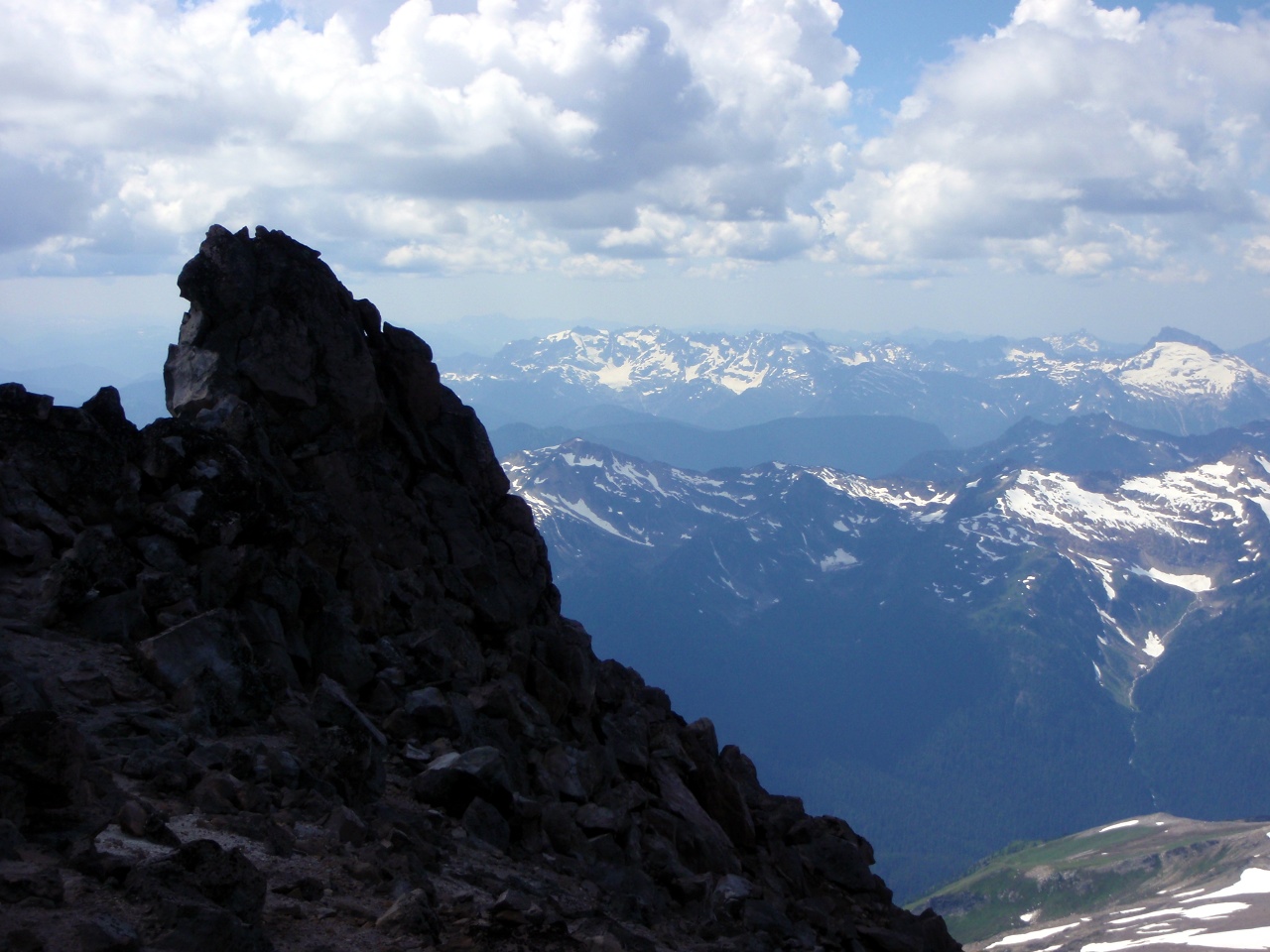
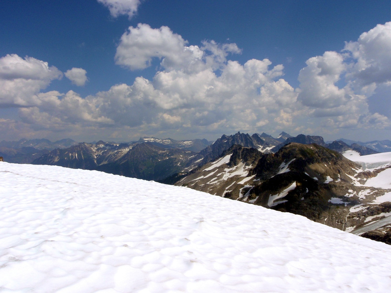
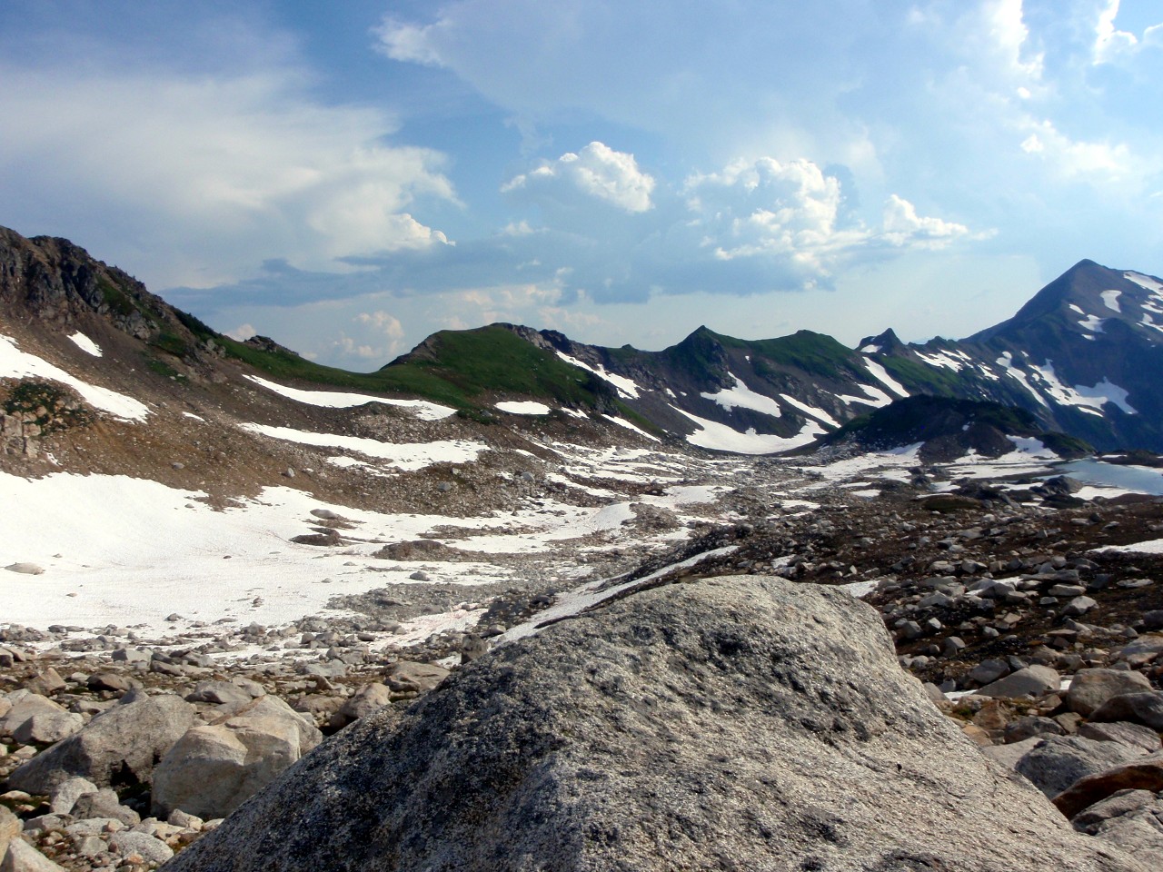
Looking back at Cady Ridge
More of Cady Ridge
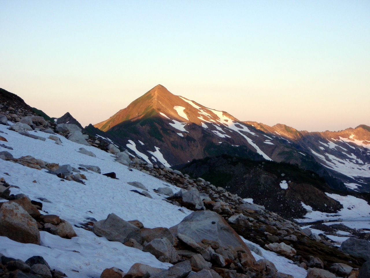
Point 6562
Another way back to our starting point
New trail down to Meander Meadow. Old trail followed ridge on S. side before dropping down to meadow.
Abandoned section of Little Wenatchee River trail
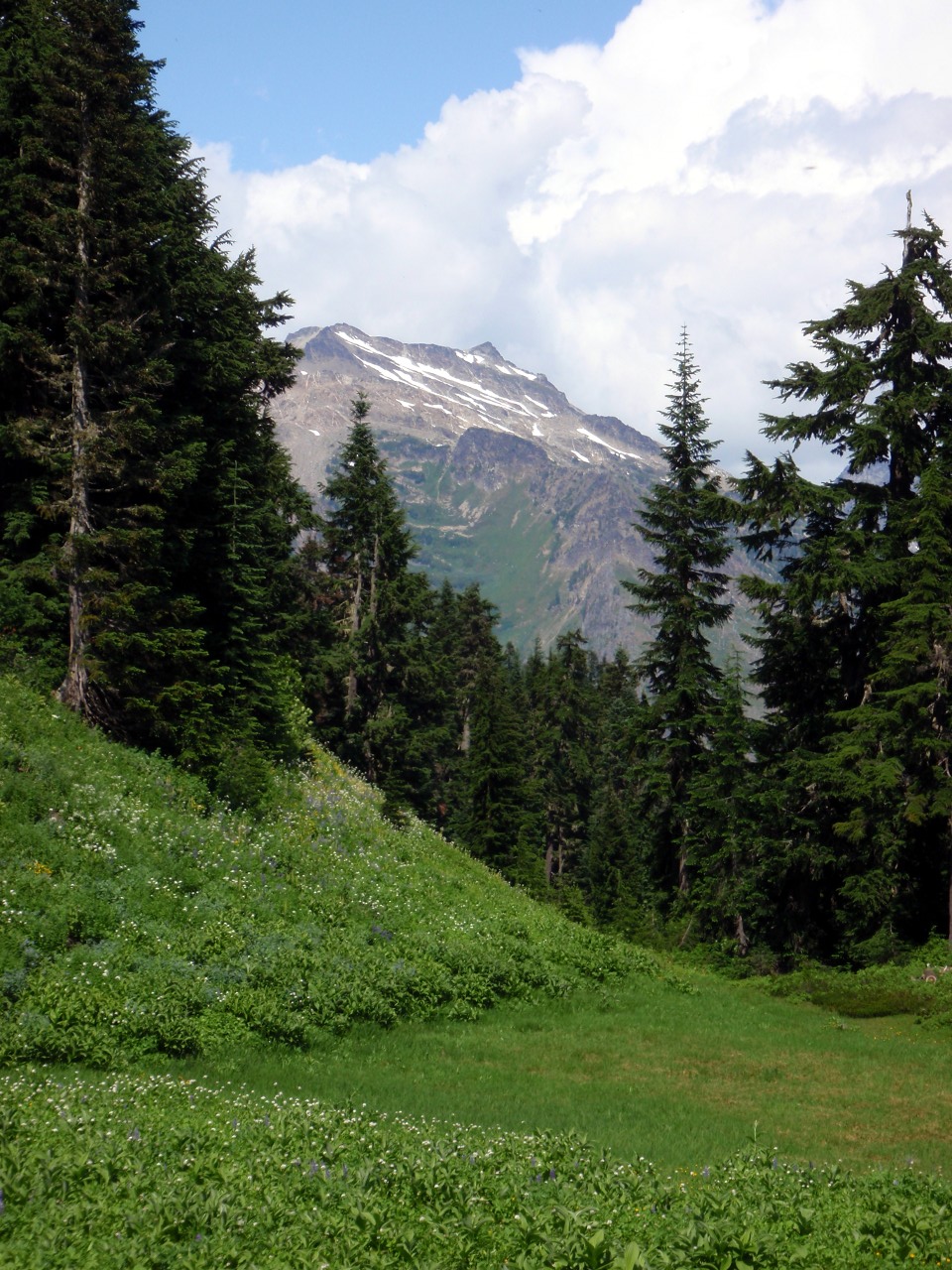
Meadow below Kodak Peak
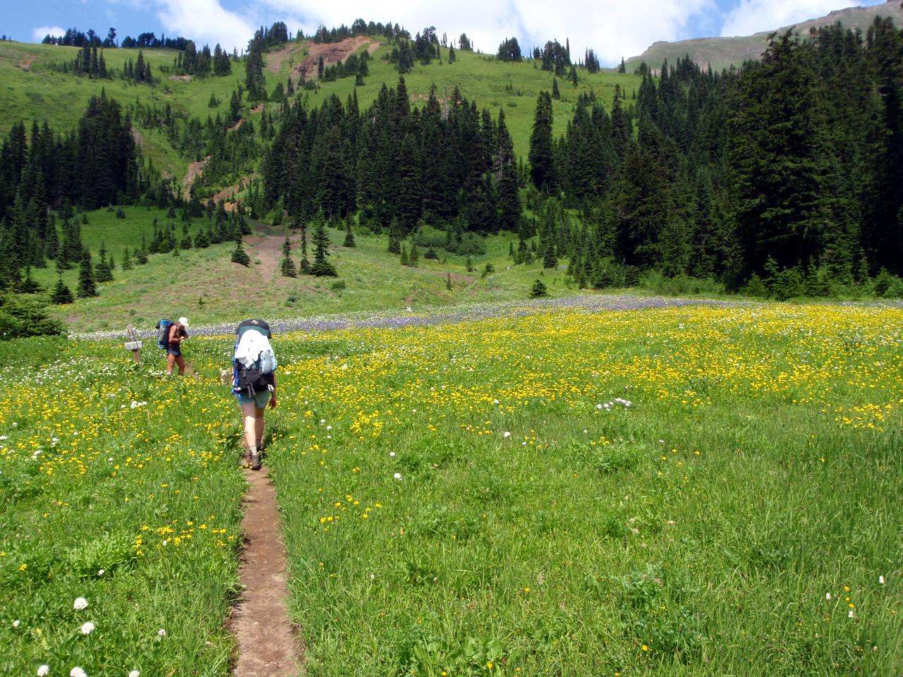
Meander Meadow
More Kodak Peak meadow
At JCT with Wenatchee Ridge trail
Plenty of water along the trail
Indian Pass
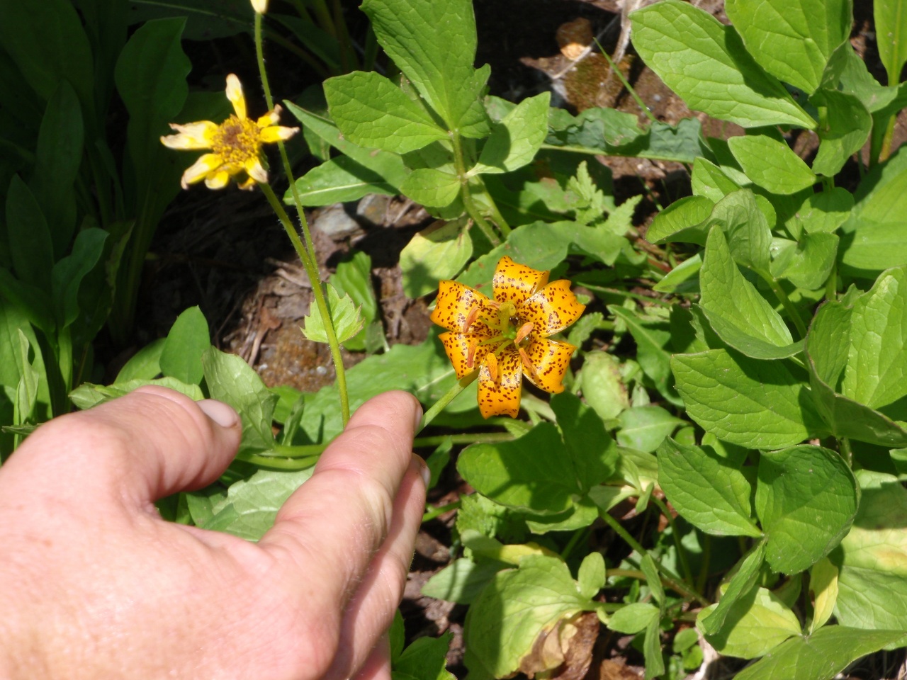
Tiger lily
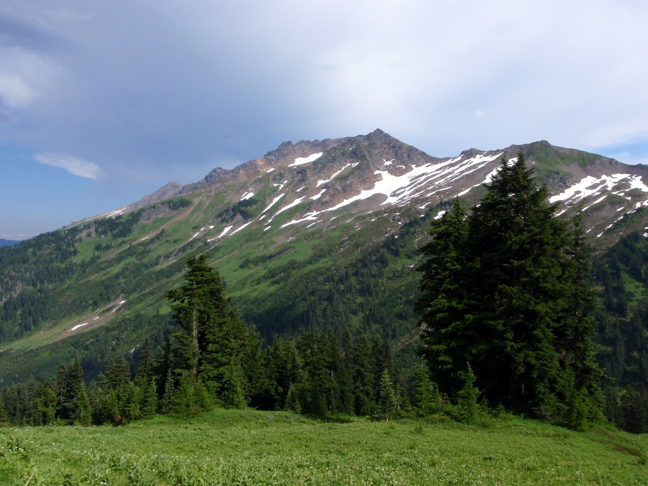
Johnson Mountain
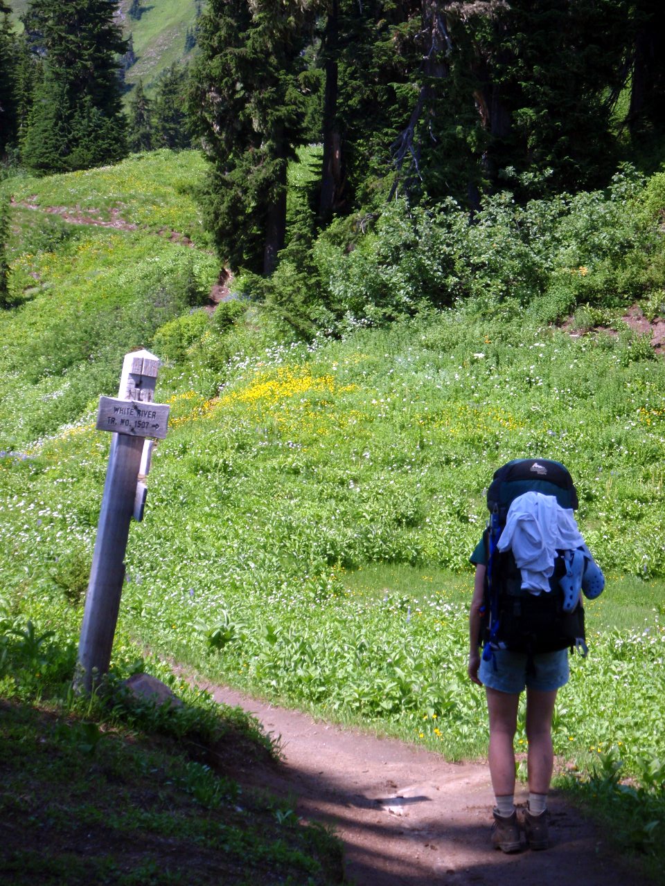
White River trail JCT
-
Sloan and Bedal peaks
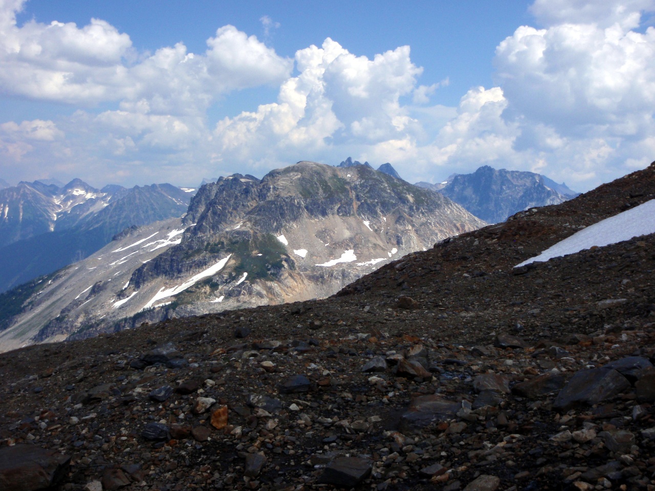
Point 6562 and Johnson Mountain
At the Reflection Pond
Indian Head Peak
Getting closer to Glacier!
-
-
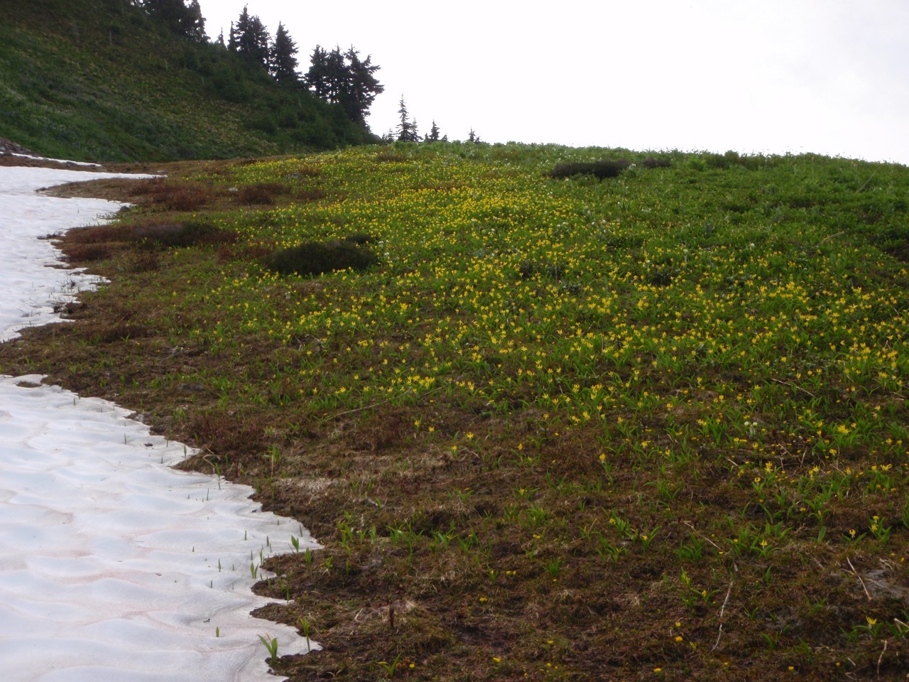
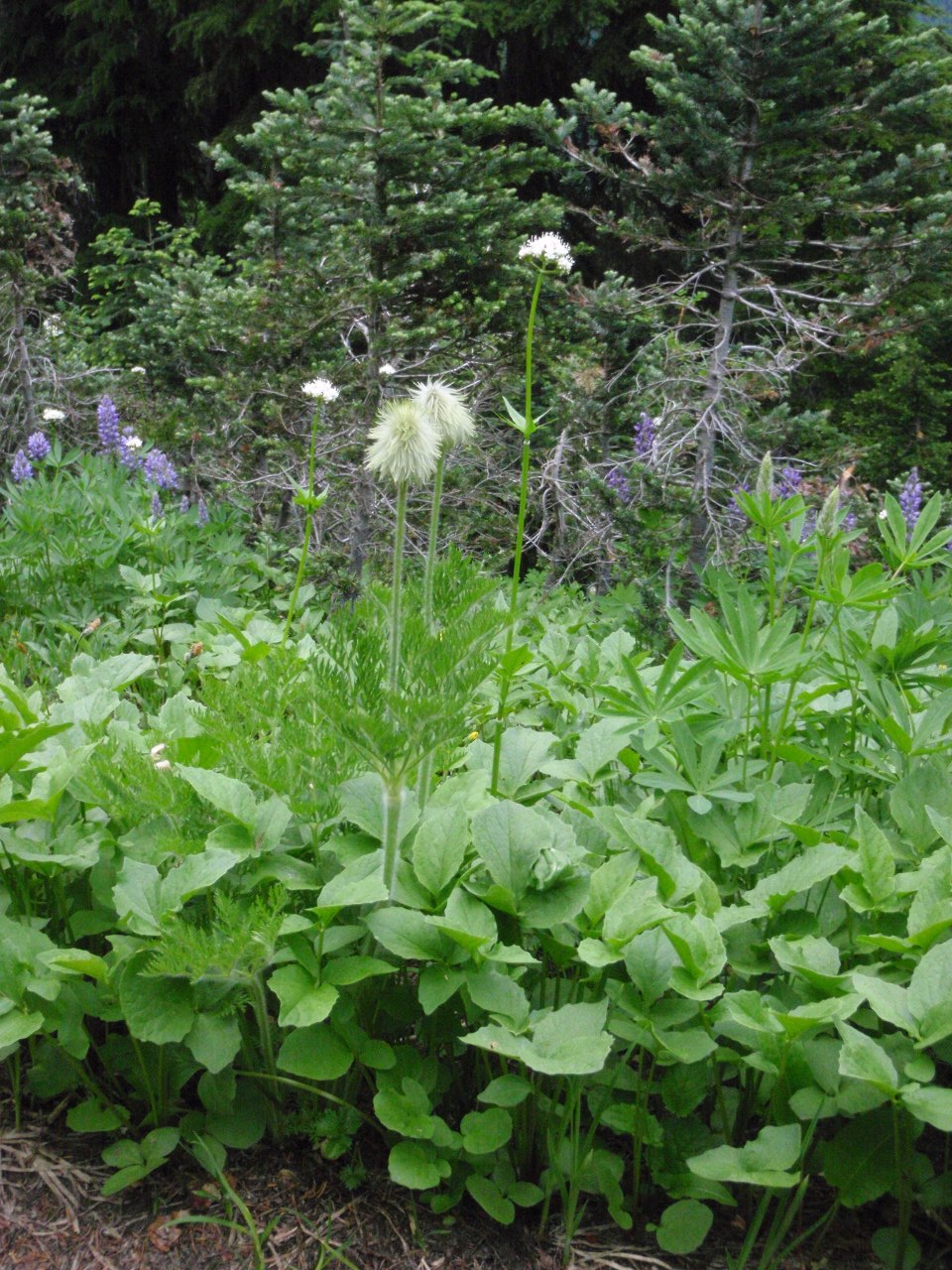
Field of glacier lilies
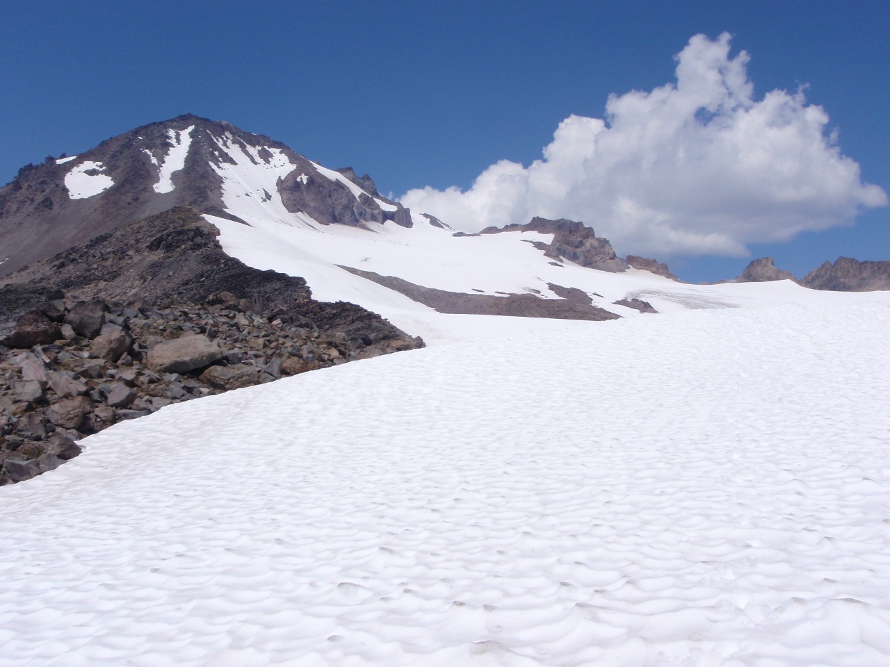
White Pass and White Mountain
Ridge between White Pass and the White Chuck Glacier basin
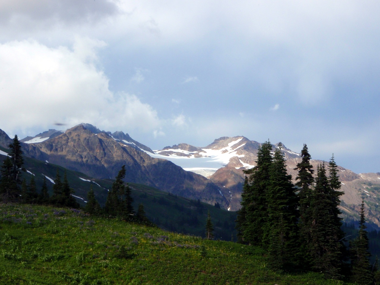
Another of the White River Glacier
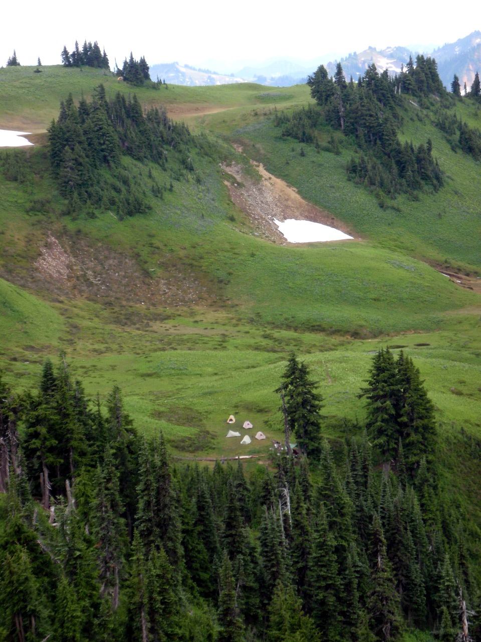
Tents in the White Pass campground. (Ours are above, to the left)
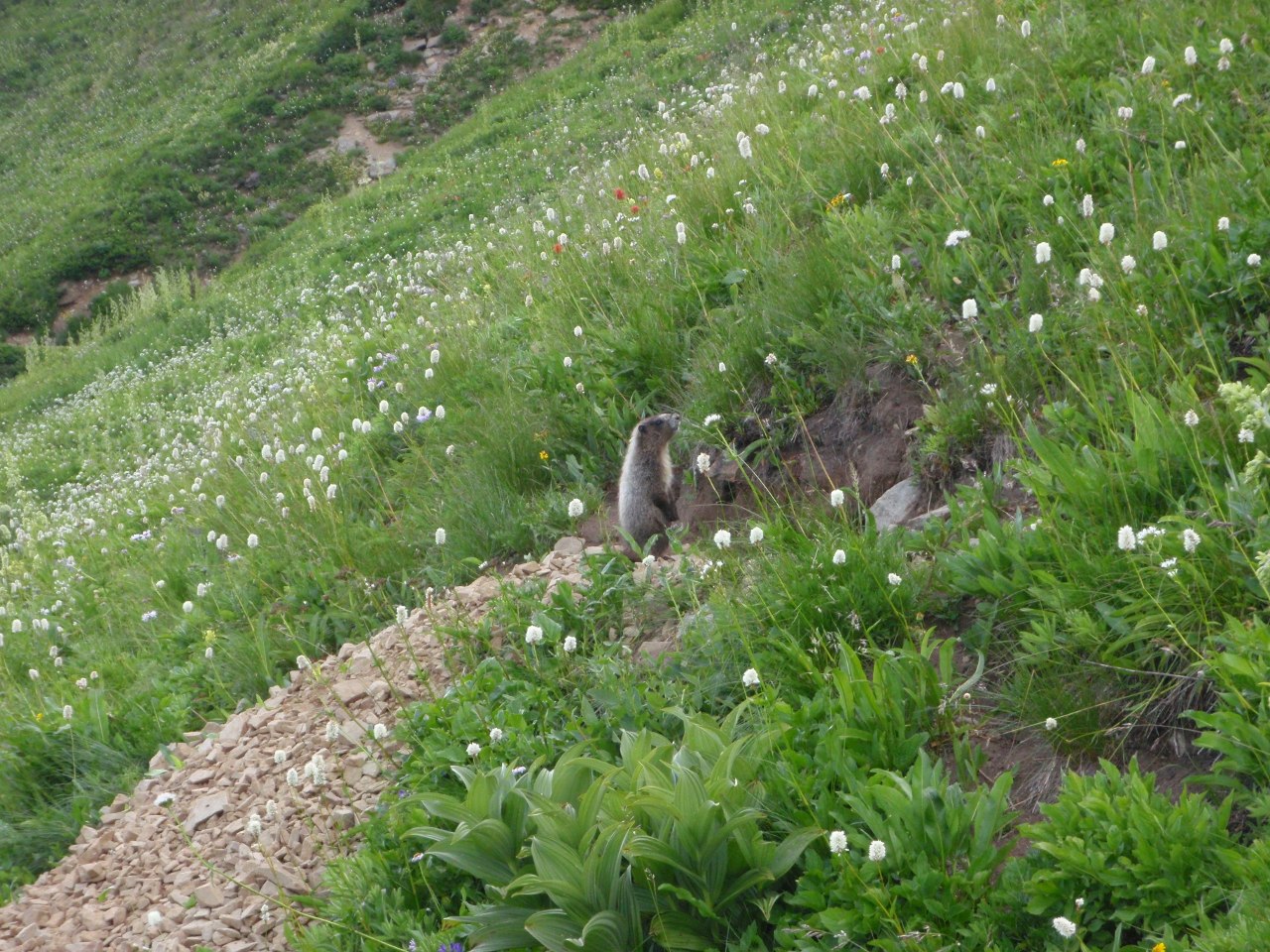
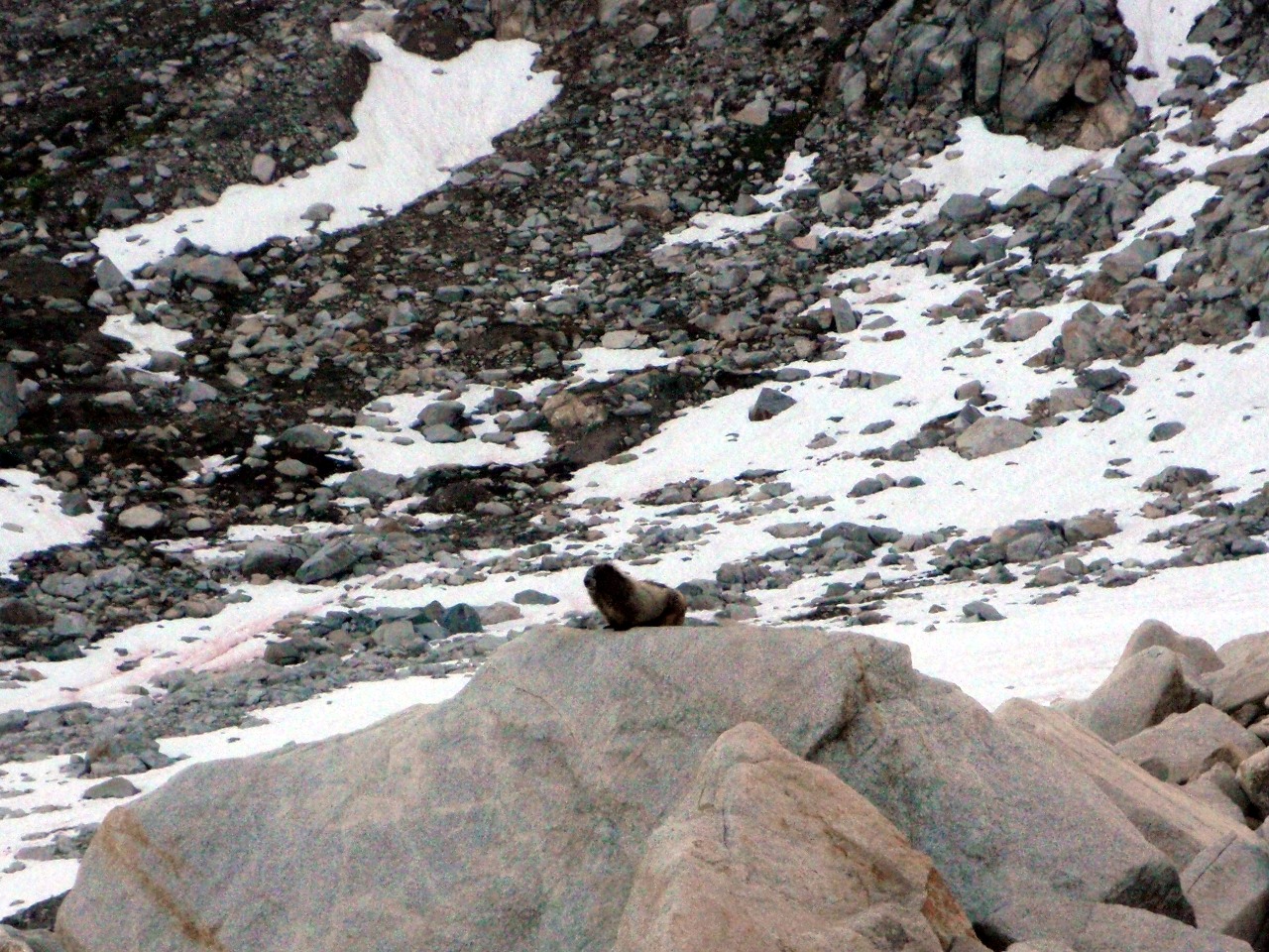
Marmot on the PCT
Home, sweet home
Monkeyflower
-
Our campsite
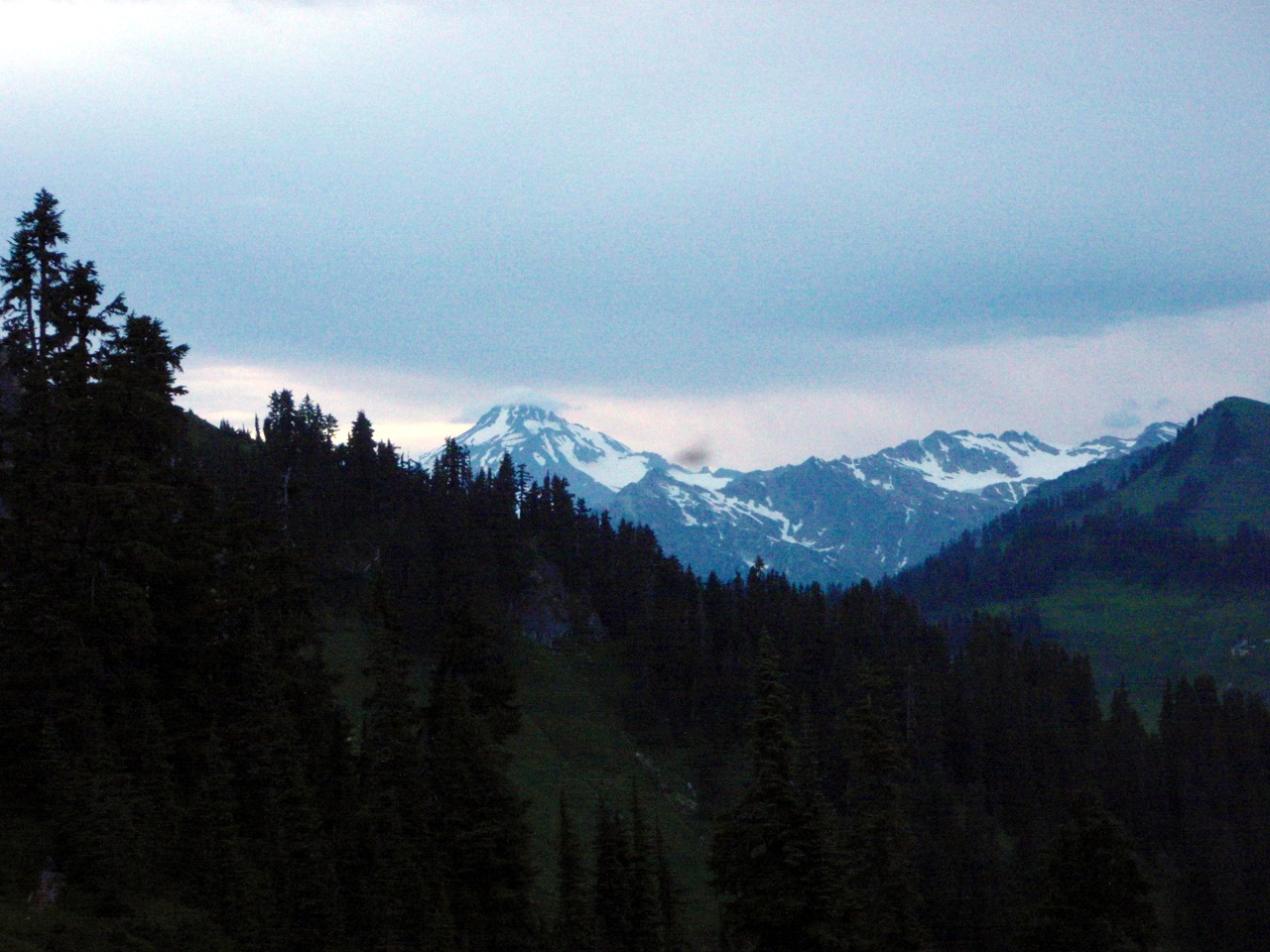
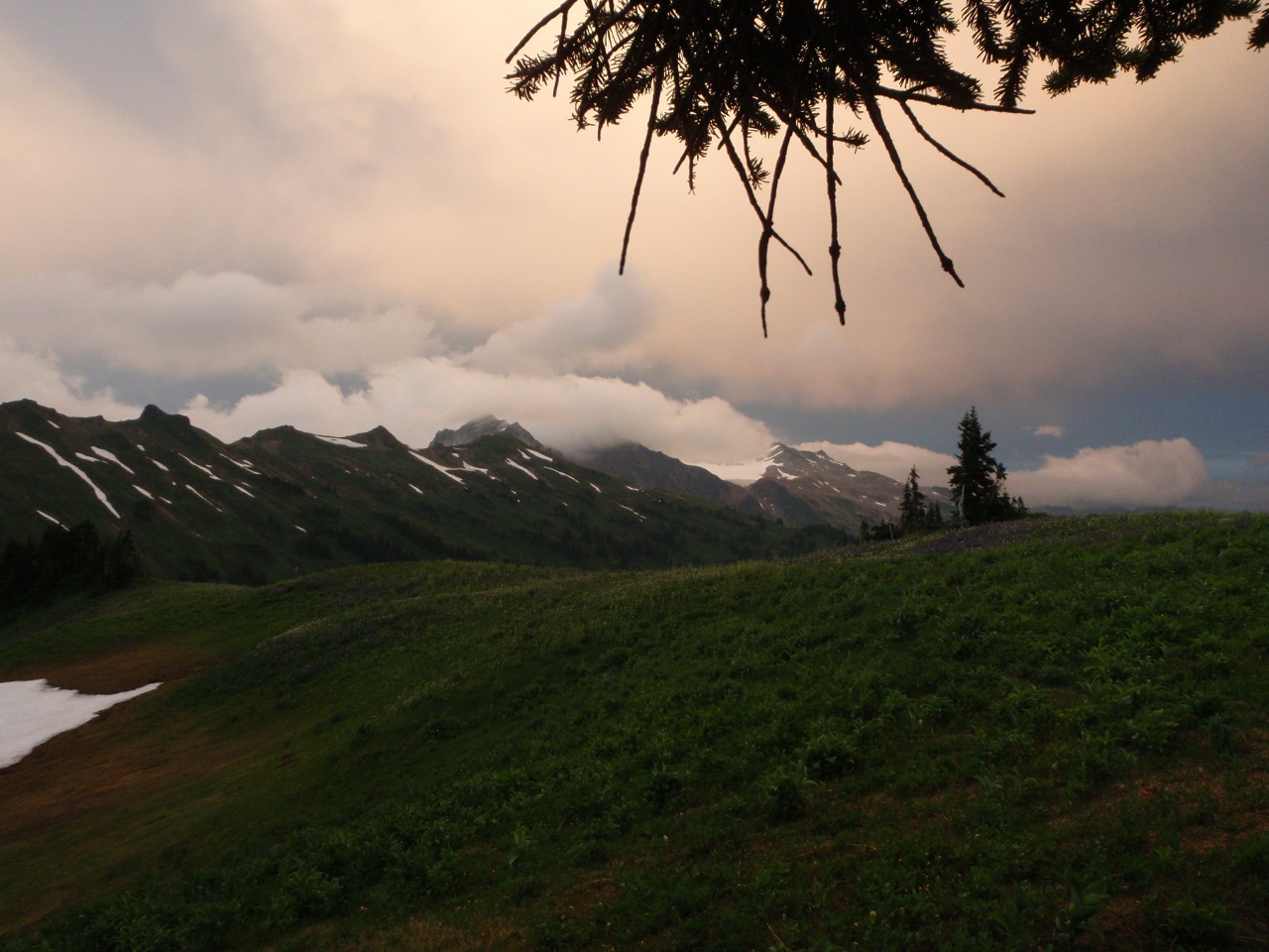
Glacier Peak in the clouds
View from camp towards the White Chuck Glacier
More clouds, same direction
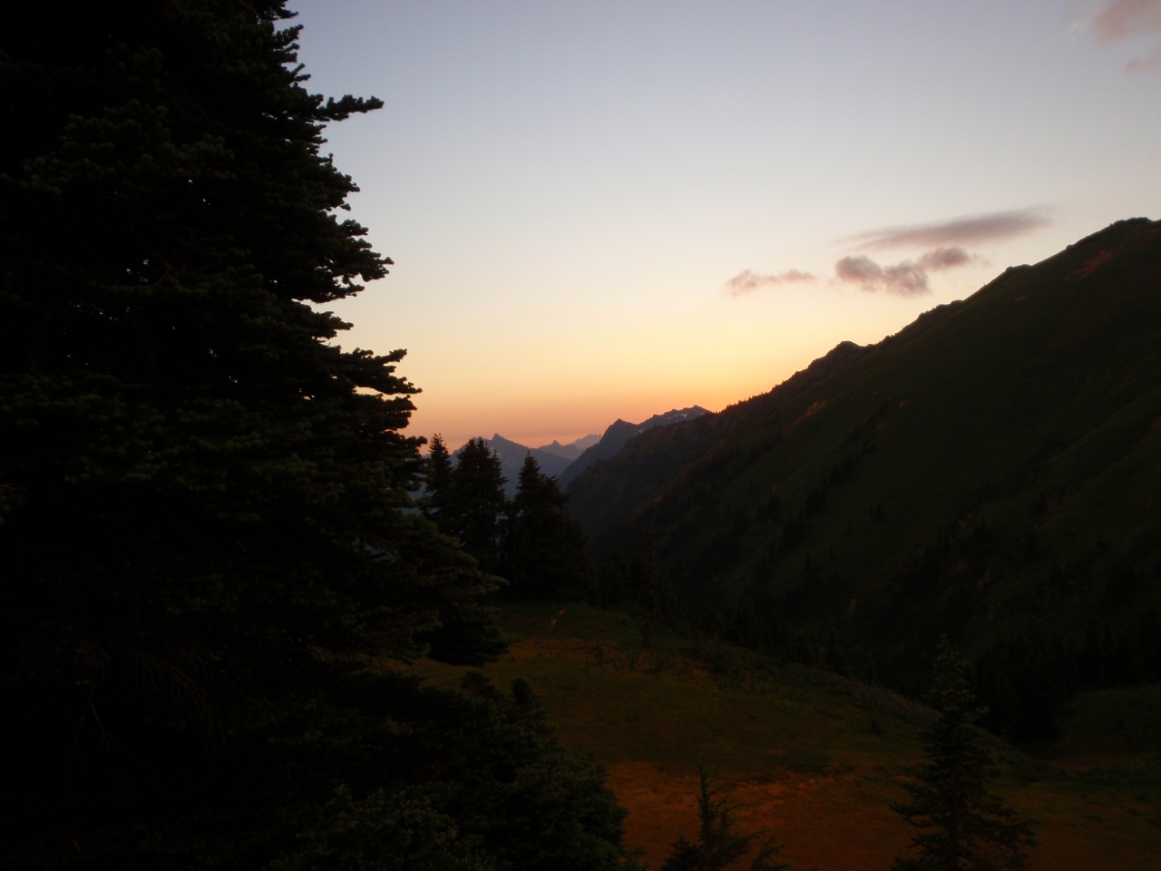
Sunset from camp
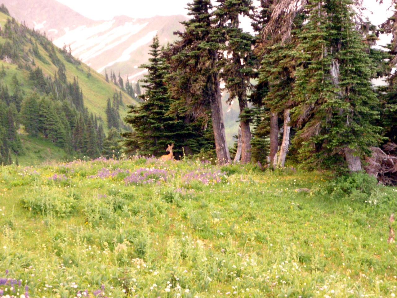
Deer nearby
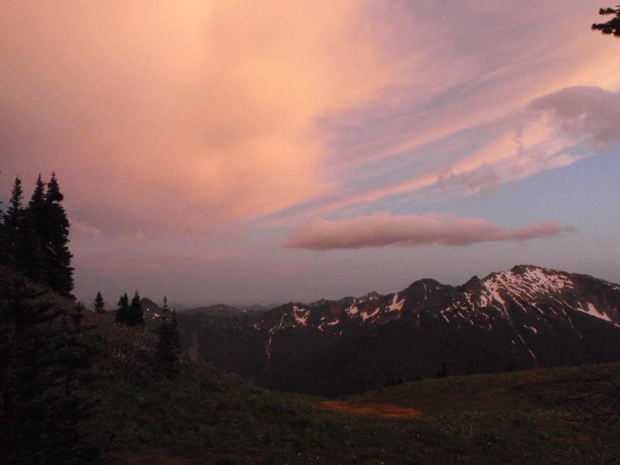
More clouds
Still more
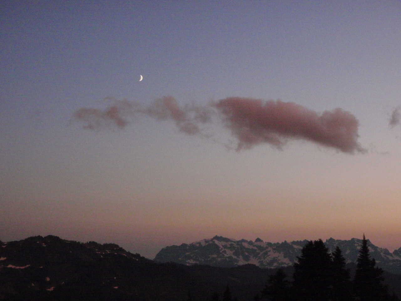
Crescent moon
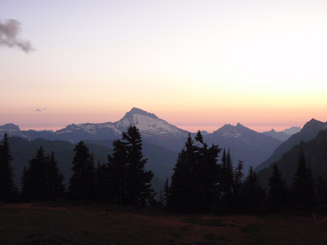
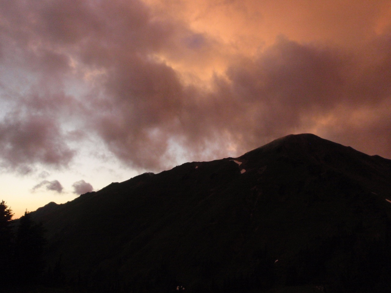
Sloan Peak evening
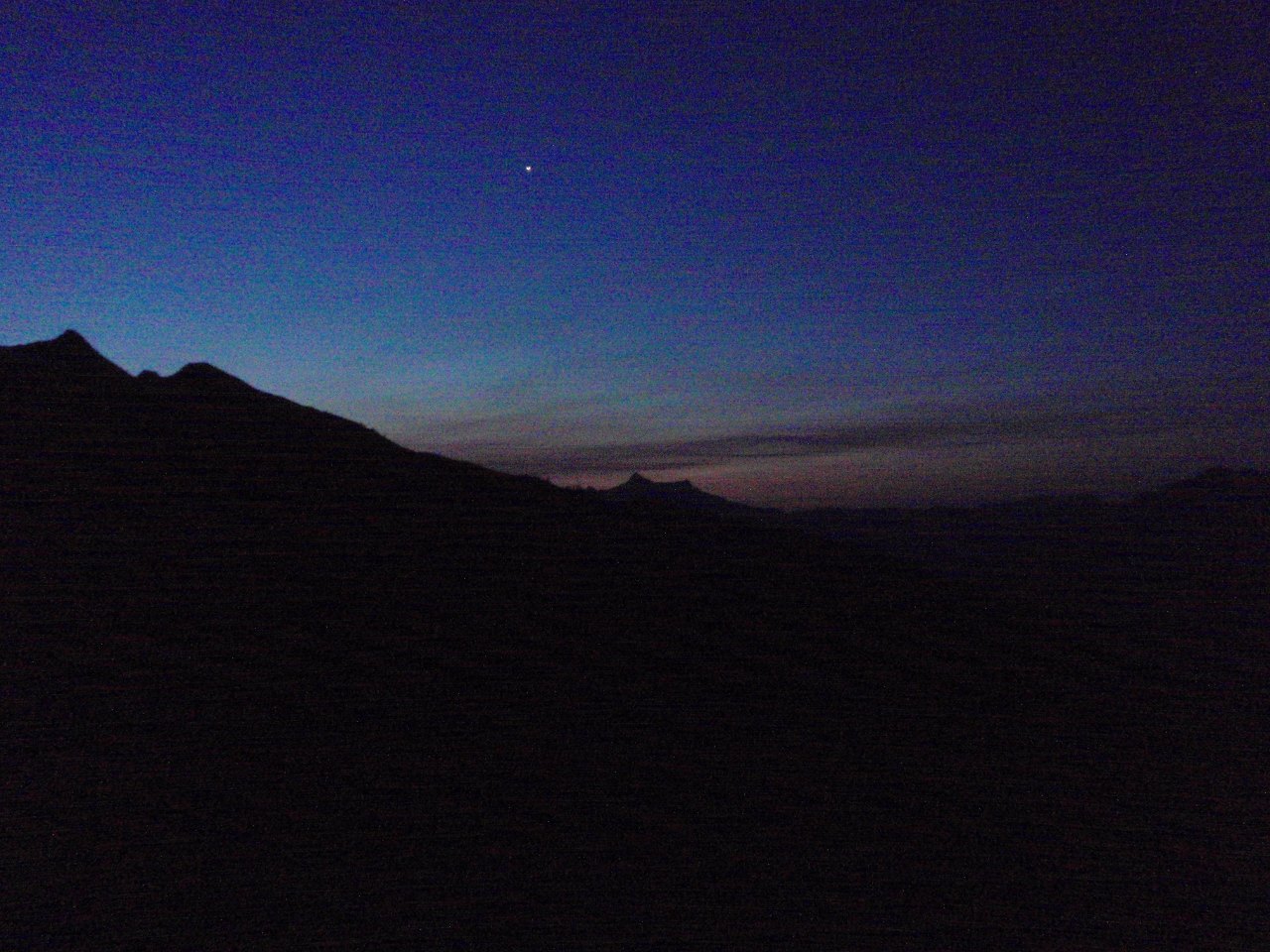
Monday: Lili and I attempt Glacier Peak. Venus
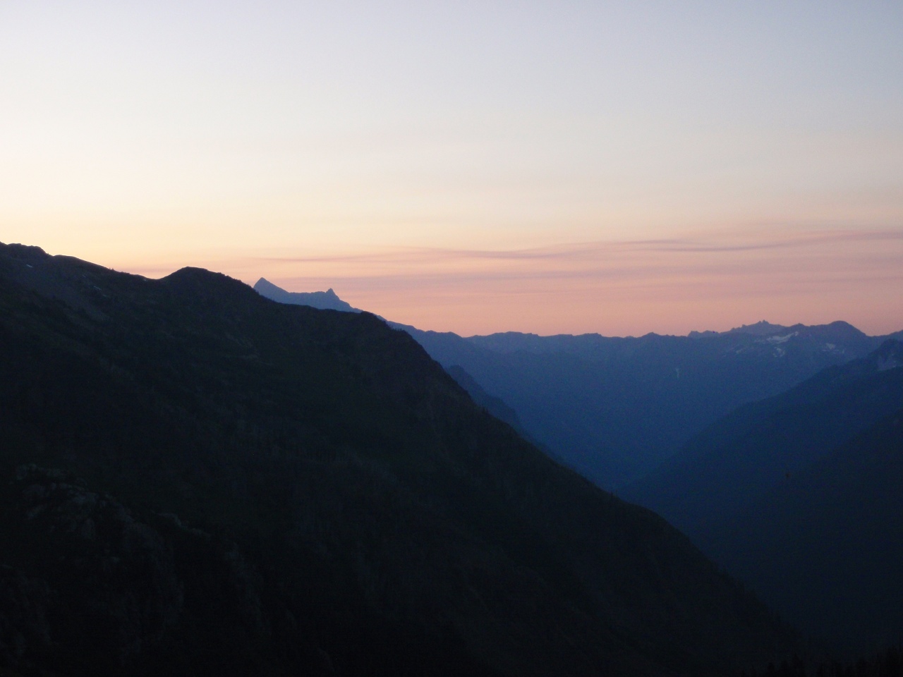
Almost sunrise
On the new climbers trail into the White Chuck Glacier basin
First peek at the White Chuck Glacier basin
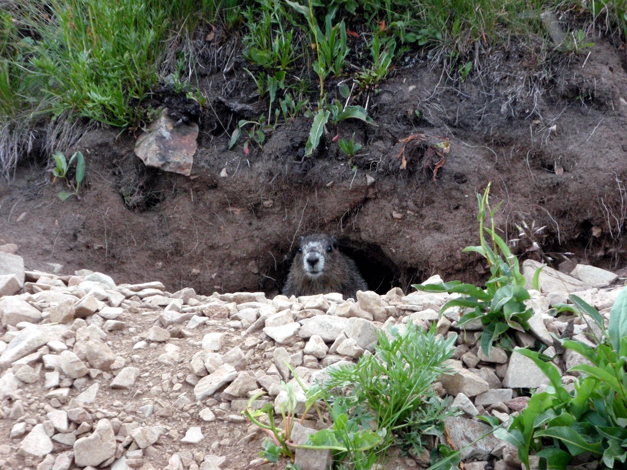
Marmots everywhere!
Looking back at White Mountain
This day’s self-portrait

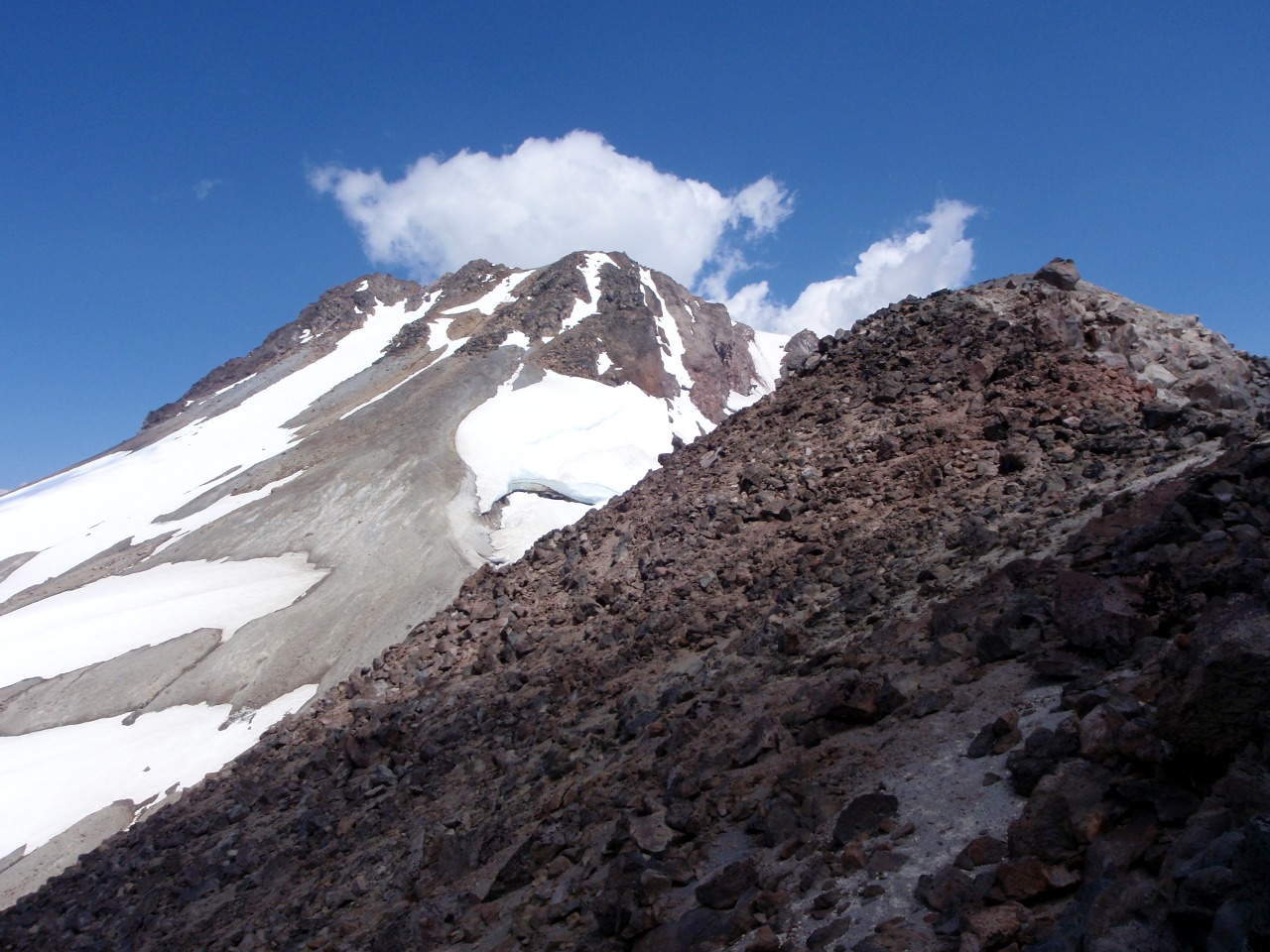
Morning light on Glacier Peak
More of the White Chuck basin
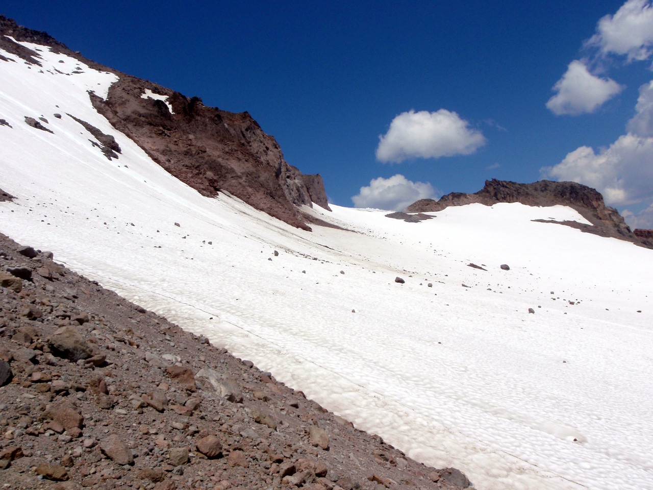
Southern lobe of what remains of the White Chuck Glacier. We hiked on the snow at the toe to avoid numberous stream crossings
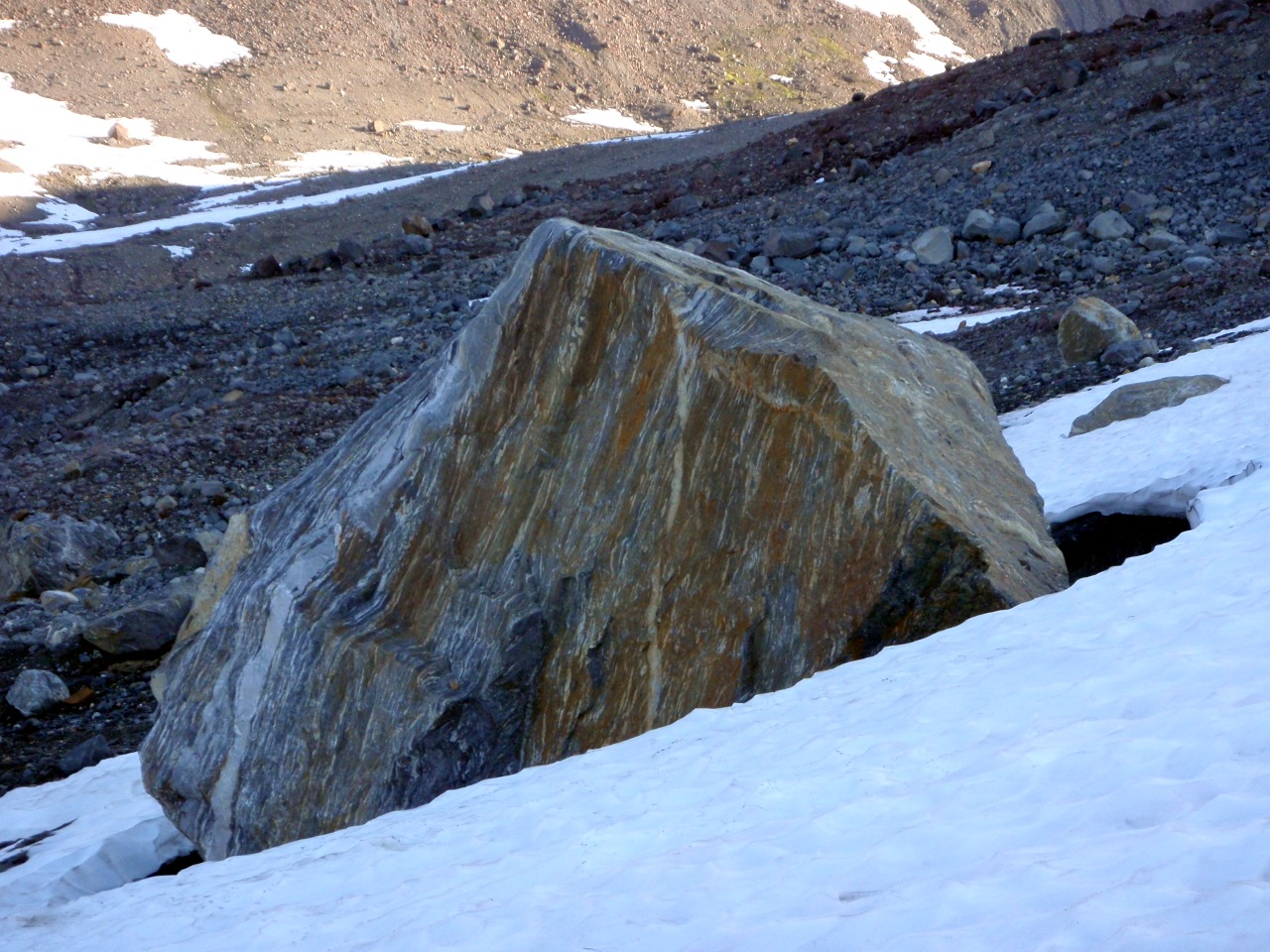
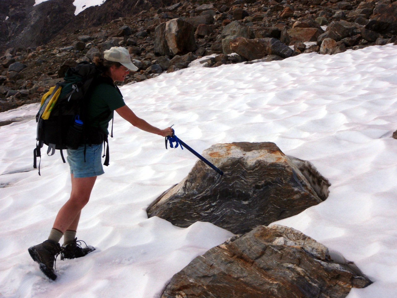
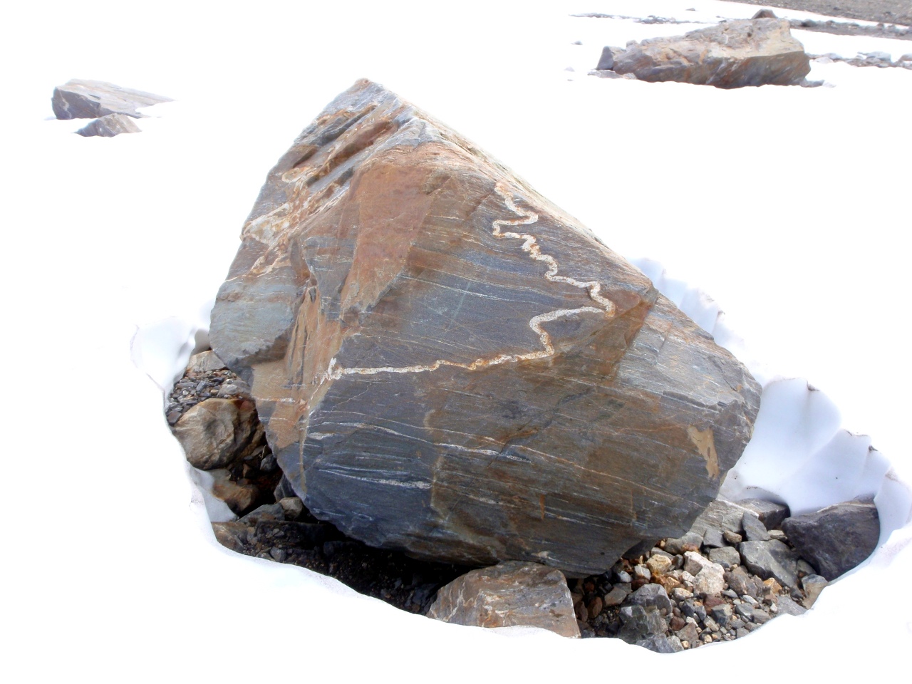
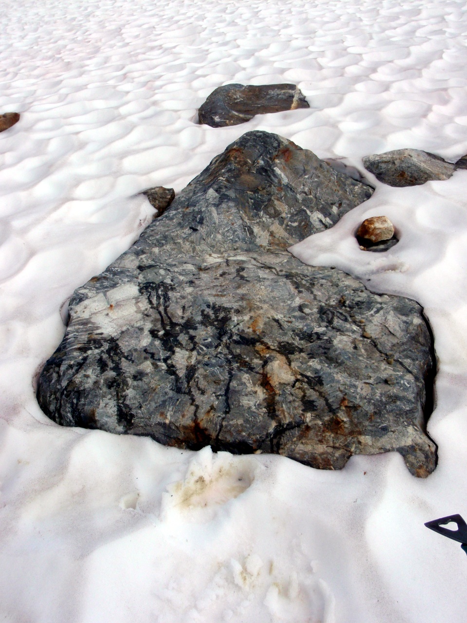
Metamorphic rock in the basin
Several of the lakes in the basin
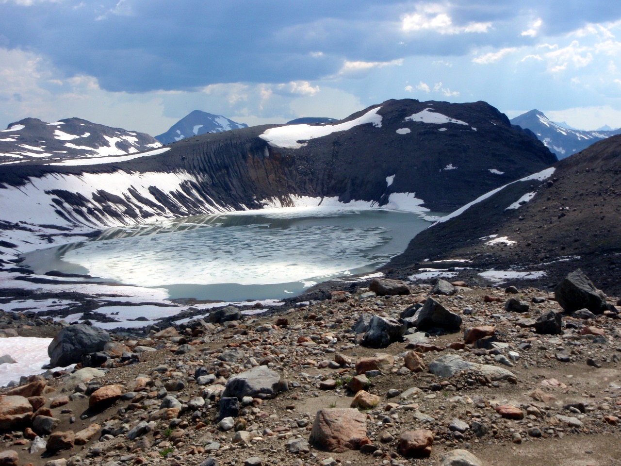
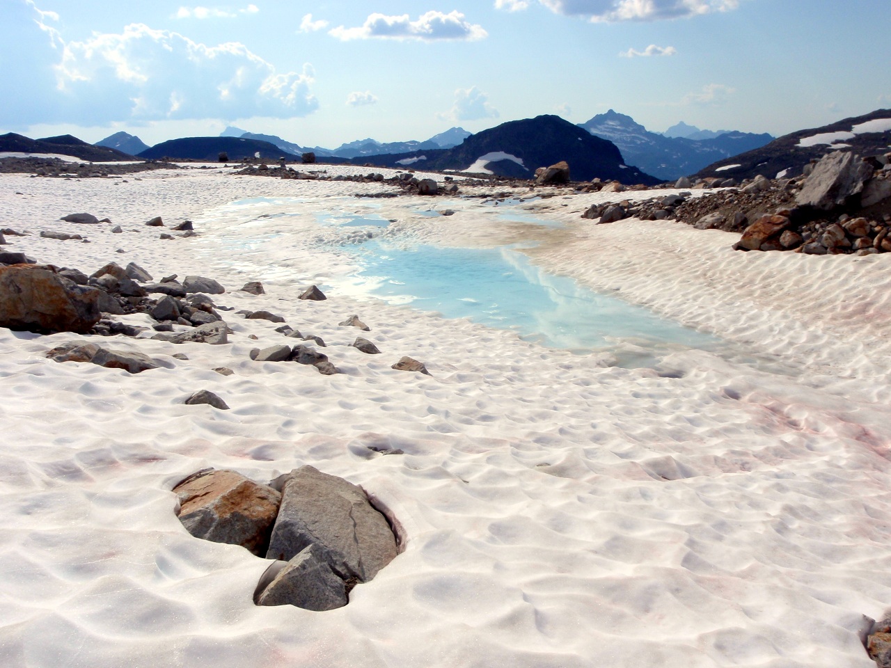
Big glacial lake. This is shown as glacier on the topo
Sloan Peak

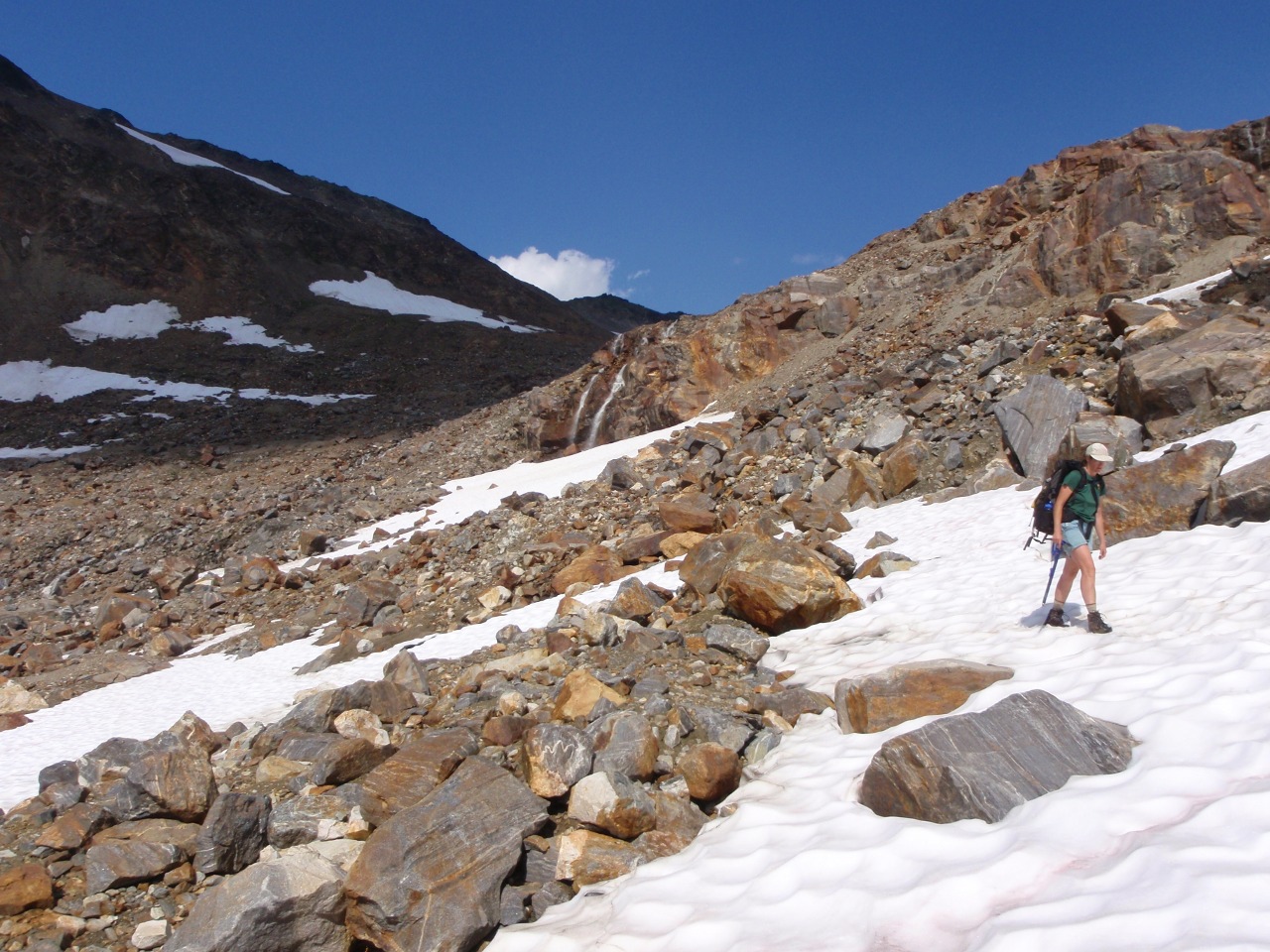
Twin waterfalls
We crossed the streams on snowbridges
Looking back down at the White Chuck Glacier Basin. White Mountain on the left, Portal Peak right of center
Suiattle Glacier
White Chuck Glacier basin from Glacier Gap. Remains of north lobe of White Chuck Glacier on the left
Our route up Glacier: Gerdine Ridge
More of the north remnant of the White Chuck
Disappointment Peak and the Gerdine Glaciers
NOLS group on the Gerdine
More of the NOLS group
-
Snow is easier than following the ridge
-
Back on the Gerdine ridge
NOLS group crossing over to the Cool Glacier. Said they were out for 18 days, and were moving camp to the Chocolate Glacier
Higher & rougher
Almost to the top of Disappointment Peak
Top of the Cool Glacier
Lower portion of the Cool Glacier
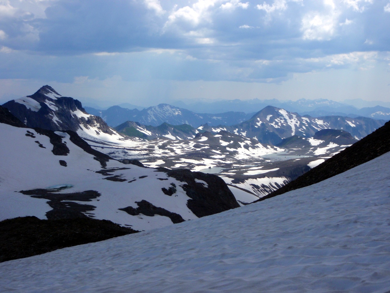
Looking back at the Suiattle and Honeycomb glaciers
West slope of Glacier Peak
Detail of ’schrund on the Cool
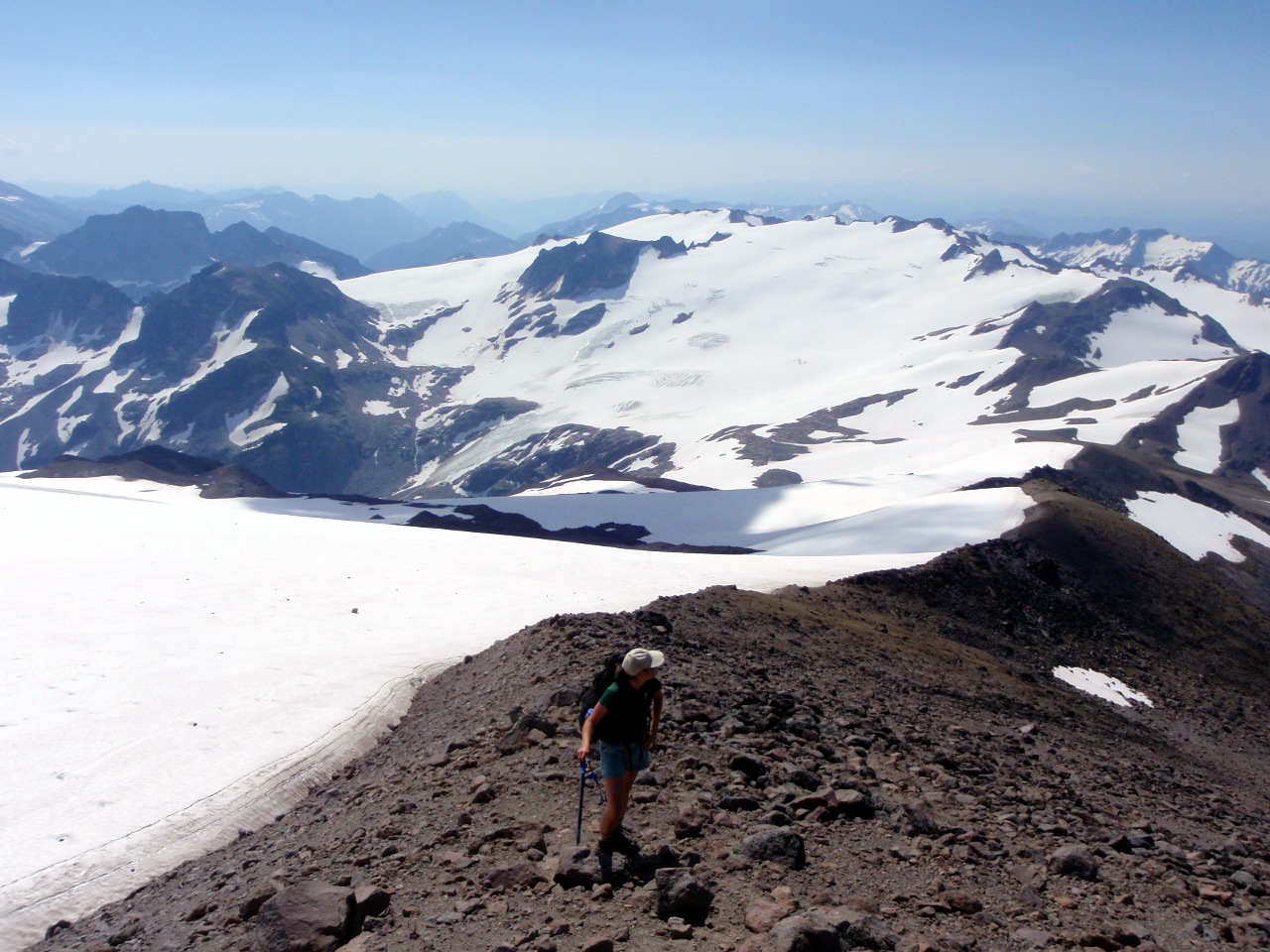
White Chuck Glacier and basin
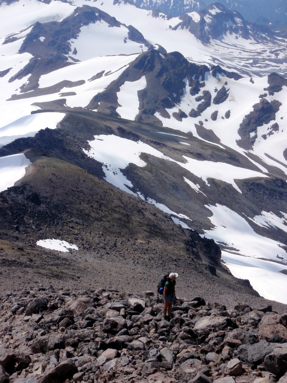
Lili at our high point on Disappointment Peak
Me too. It was 12:30 pm—too late to summit Glacier without risking a forced bivy on the way back to camp
Rocky outcrop on Disappointment Peak
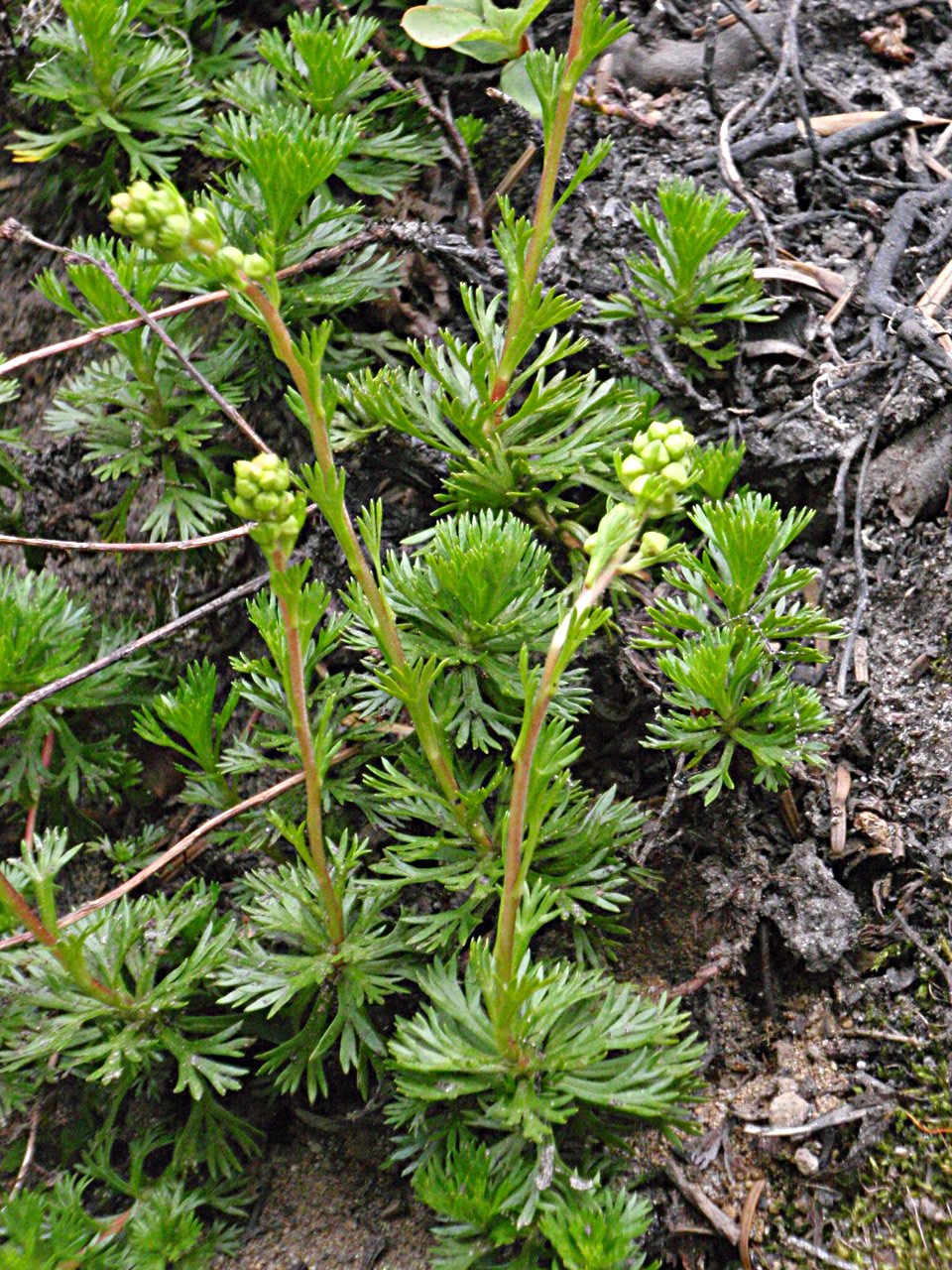
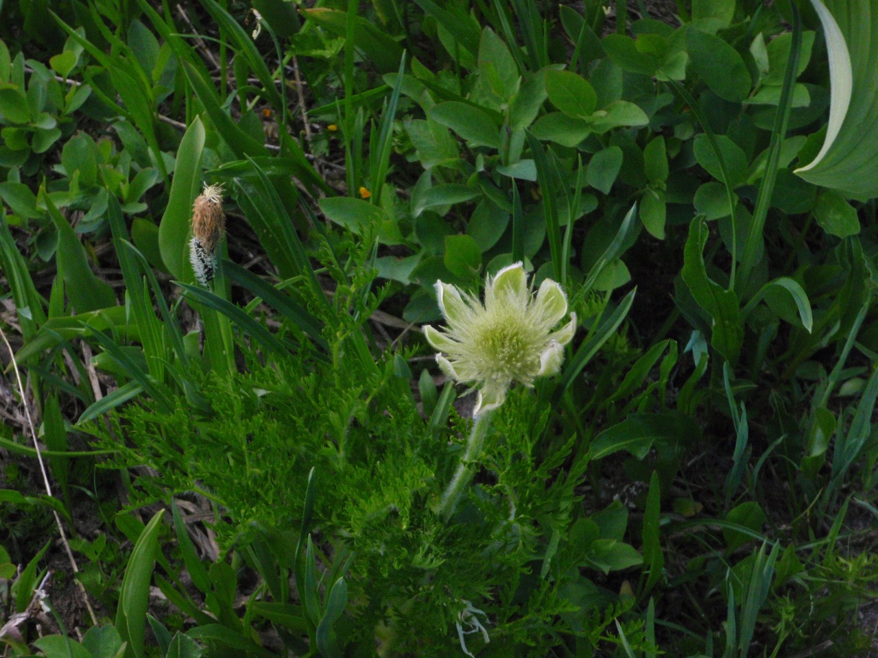
Buckwheat
-

-
Suiattle Glacier
Rockfall on the Gerdine
View east
Looking back up at Disappointment Peak
Another look east
Getting back into the White Chuck basin
Expedition geologist explains the rocks
-
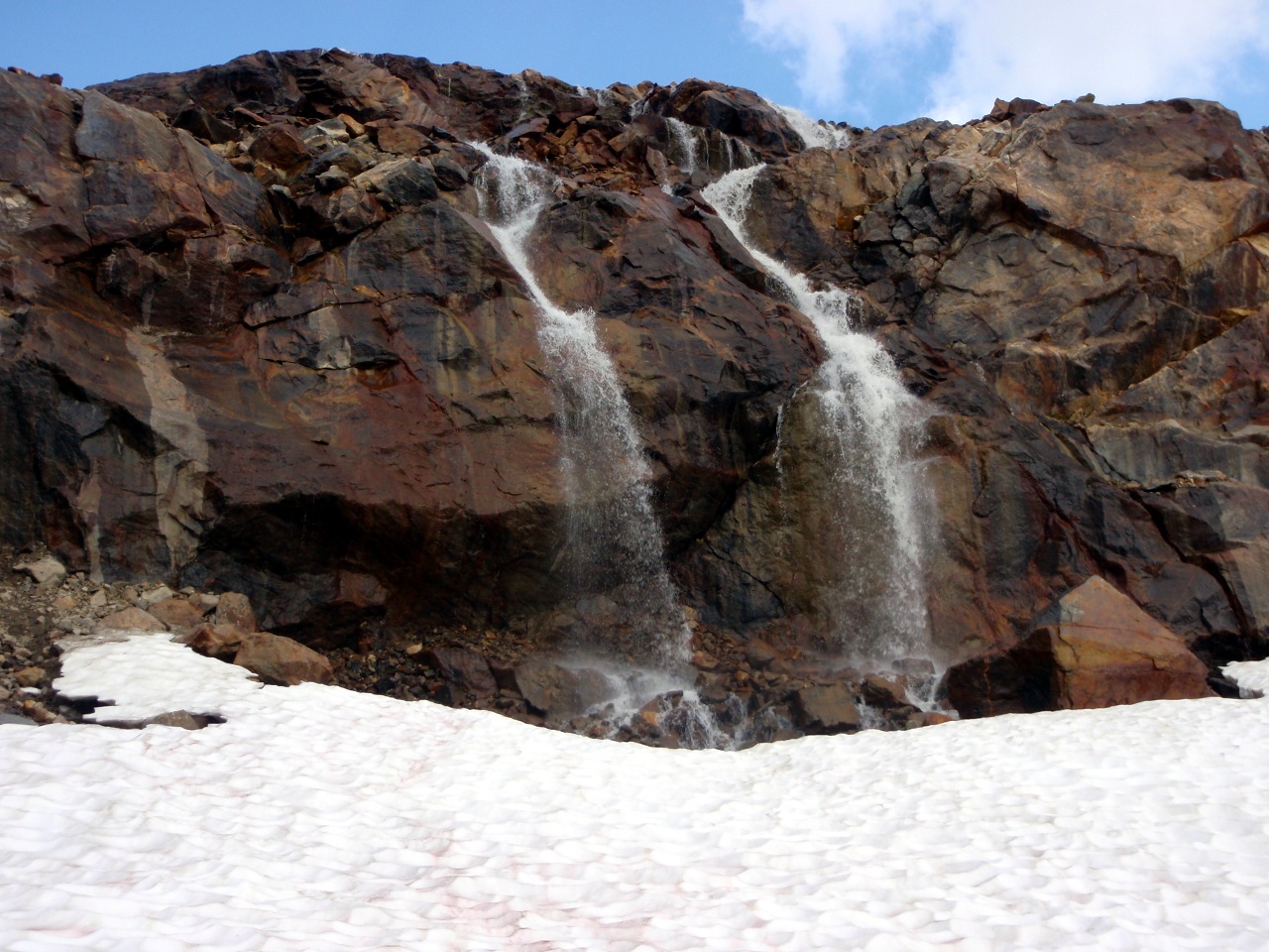
Twin waterfalls in the pm
-
Most interesting rock
Big glacial lake in the pm

Clouds, but not enough. It was a hot hike out through the basin
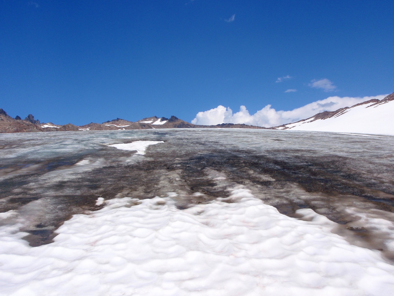
Water-covered ice on the White Chuck
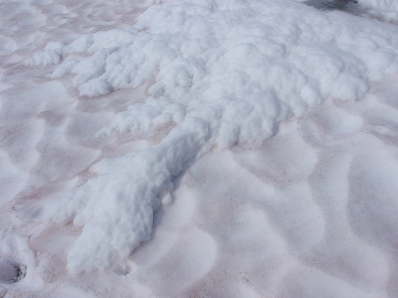
Snow pushed out by water
Small glacial lake
White Mountain on the right, our exit gap on the left

Almost to the gap
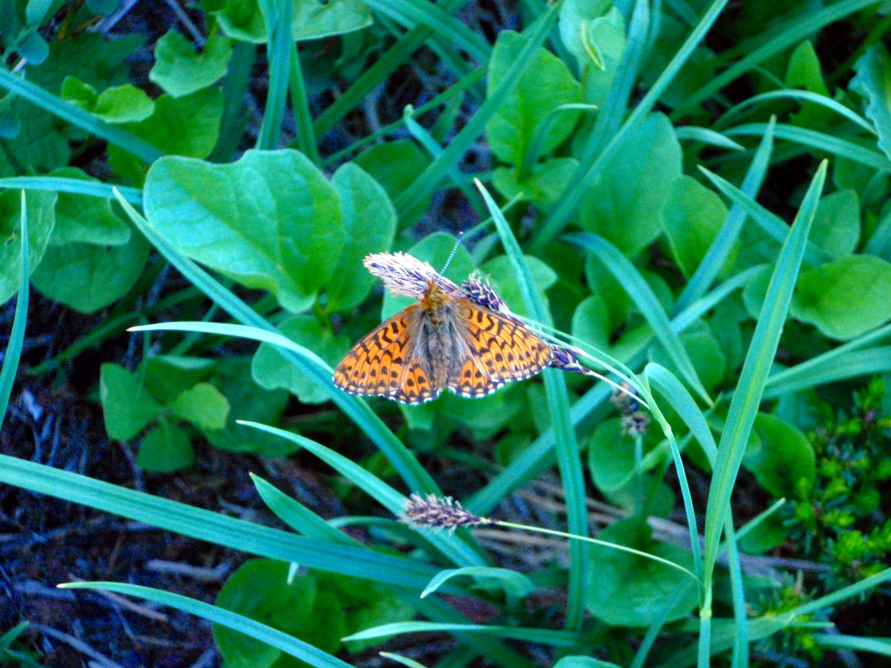
A moth poses
Out of the basin, at last
Cloud to the south
Over mosquito pond
Tuesday: we hike out the North Fork Sauk trail. Morning view of Glacier
Breaking camp
JCT of the North Fork Sauk TR and the PCT
White Mountain from camp
Point 6562 and Johnson Mountain from camp
Kodak Peak in the south
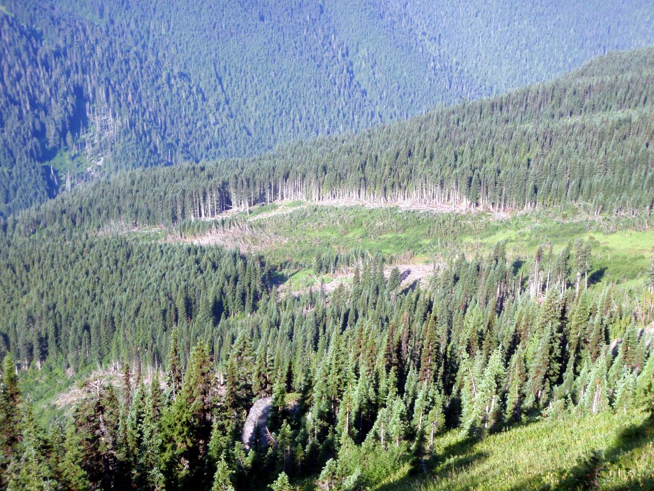
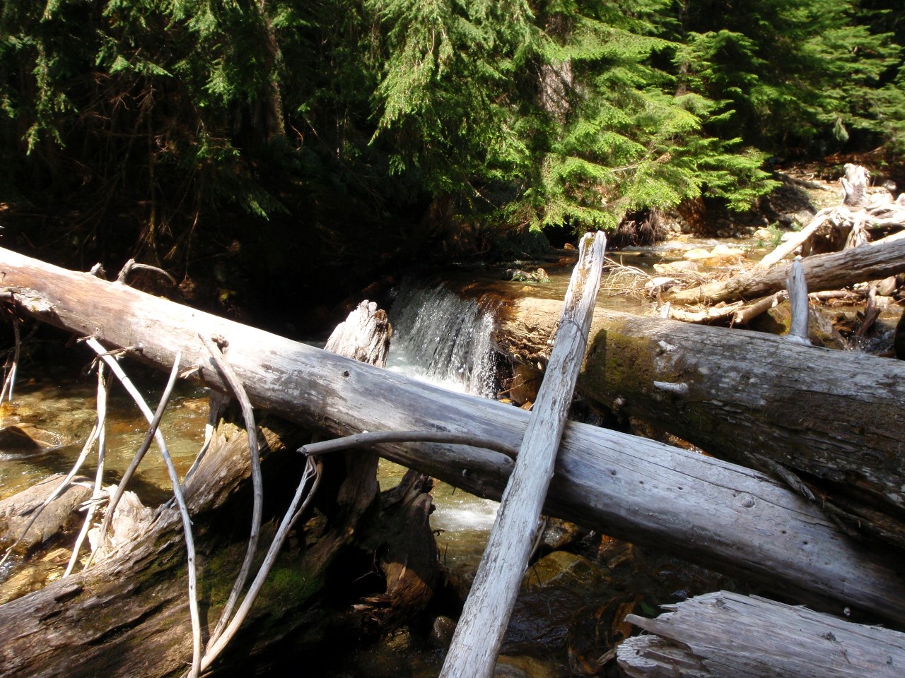
Avalanche runout across SBs on the North Fork Sauk trail
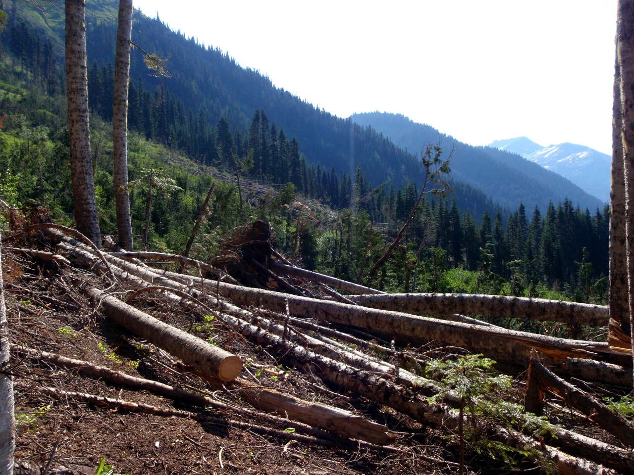
Looking back across the runout from lower down on the trail
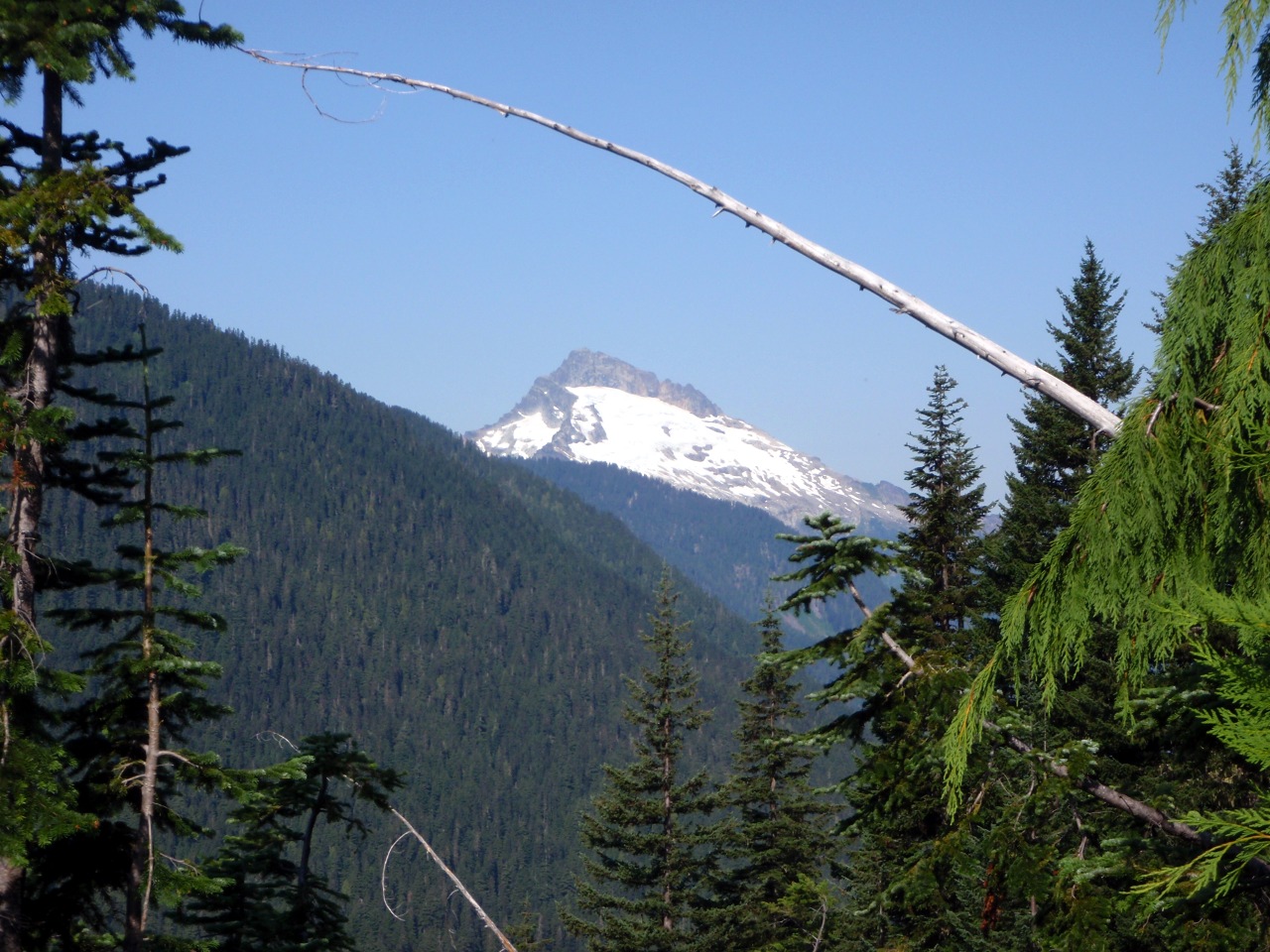
Sloan Peak
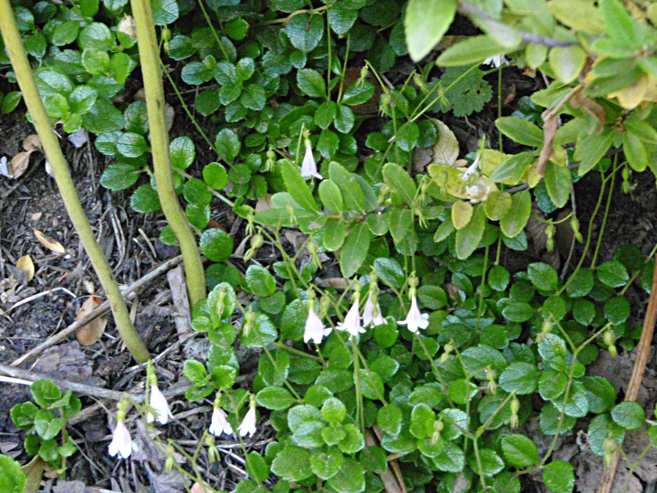
Twinflower
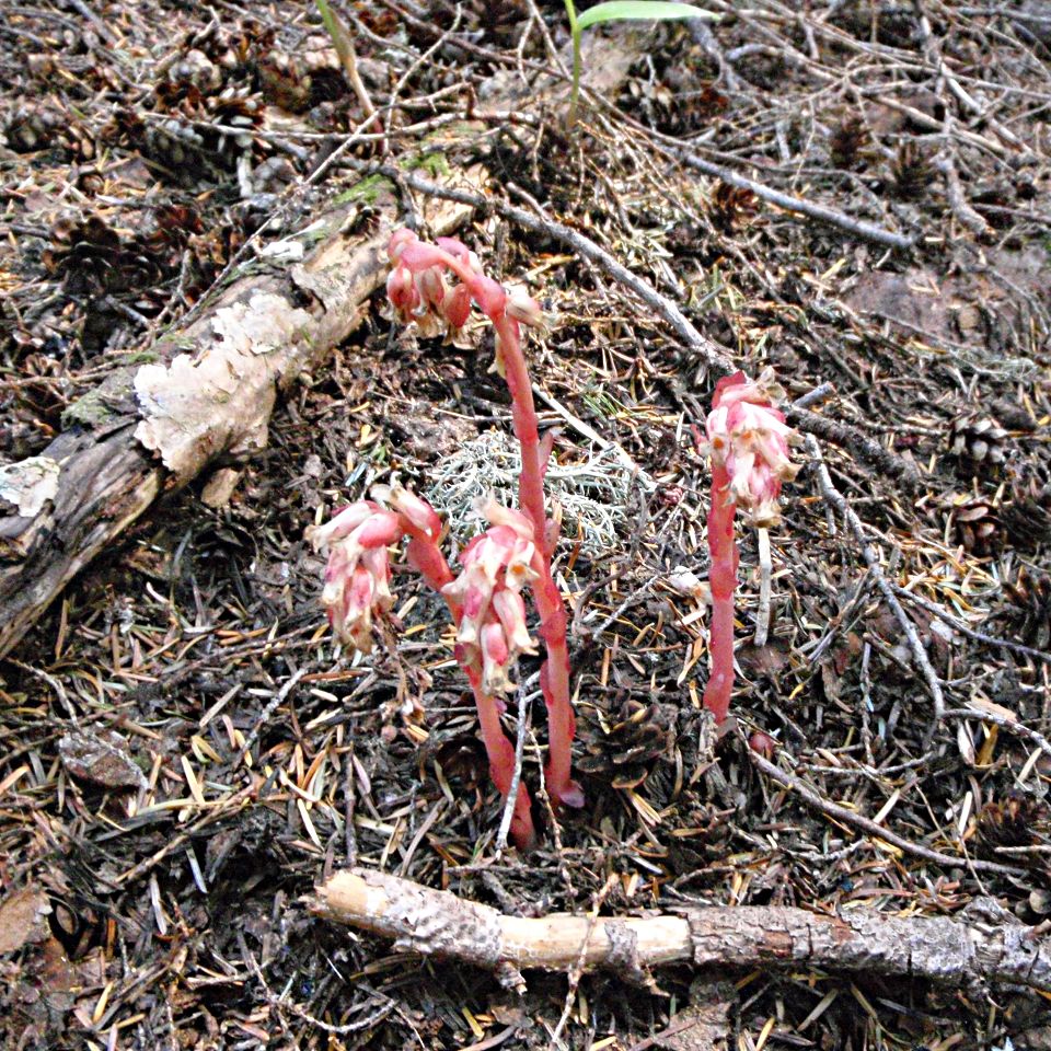
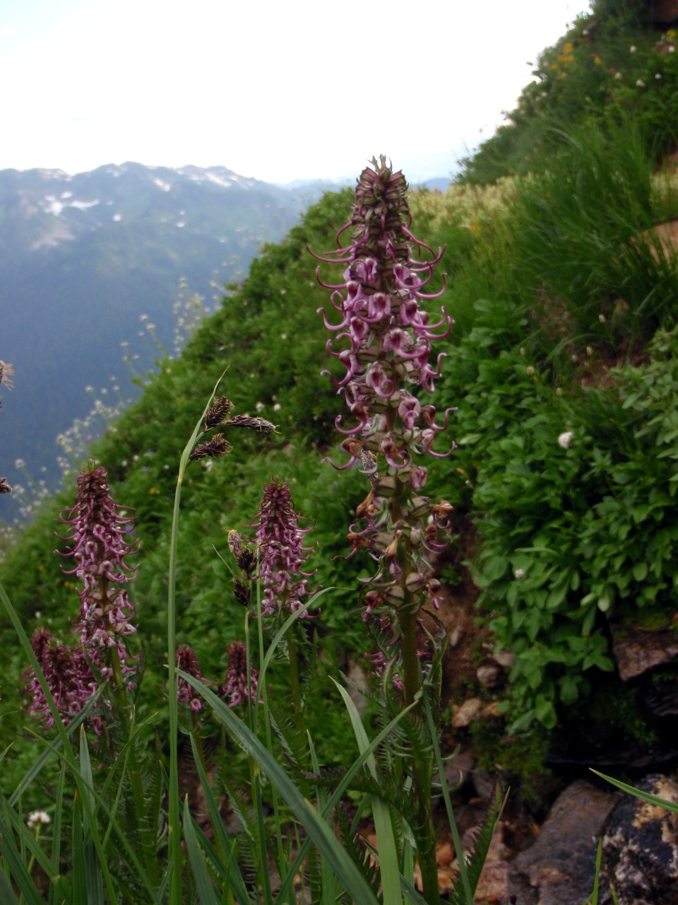
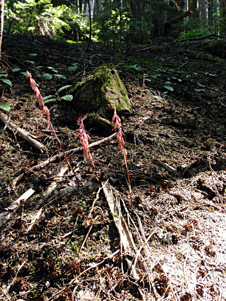
Coralroot
-
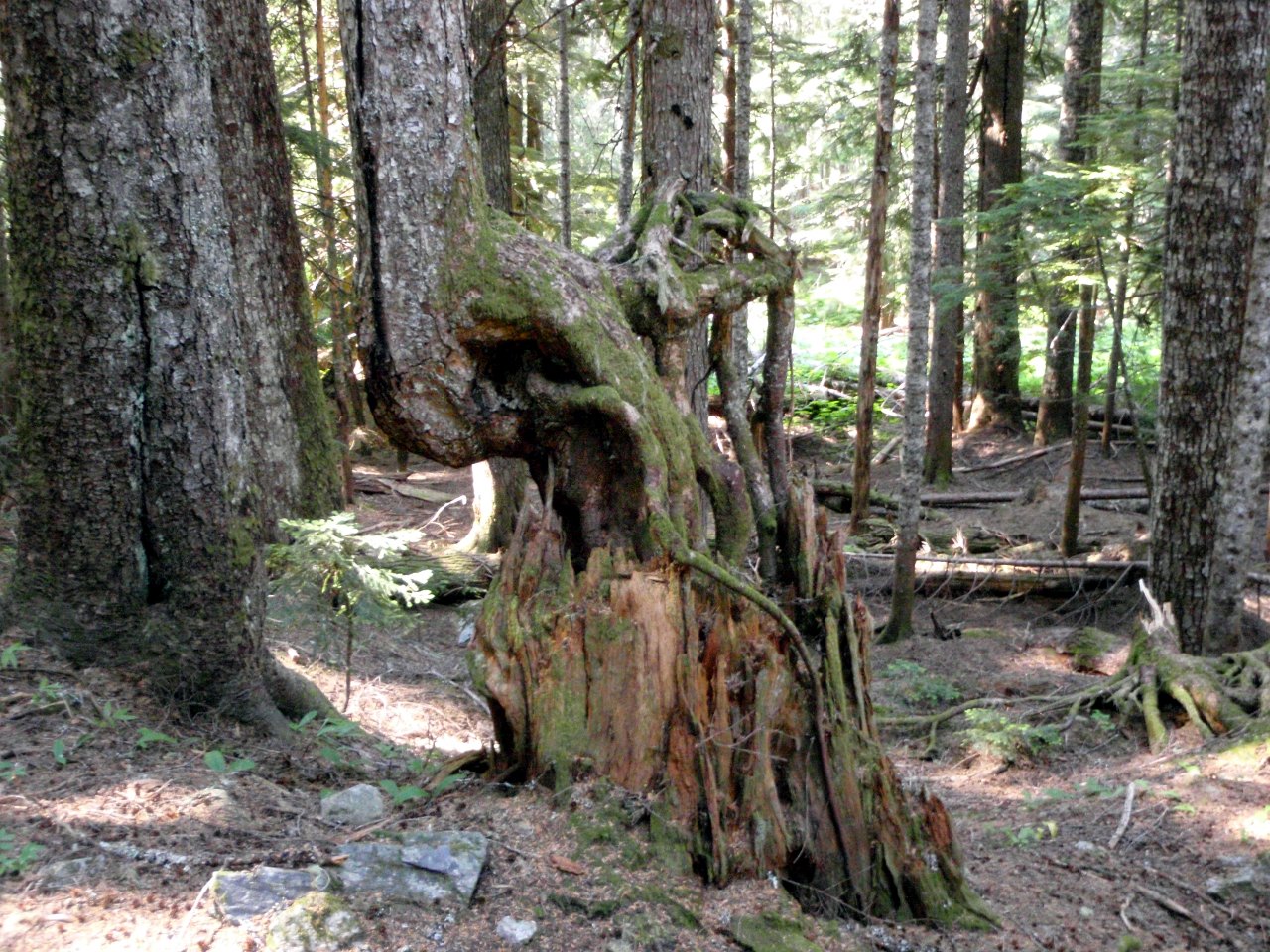
Tree growing on rotted stump
-
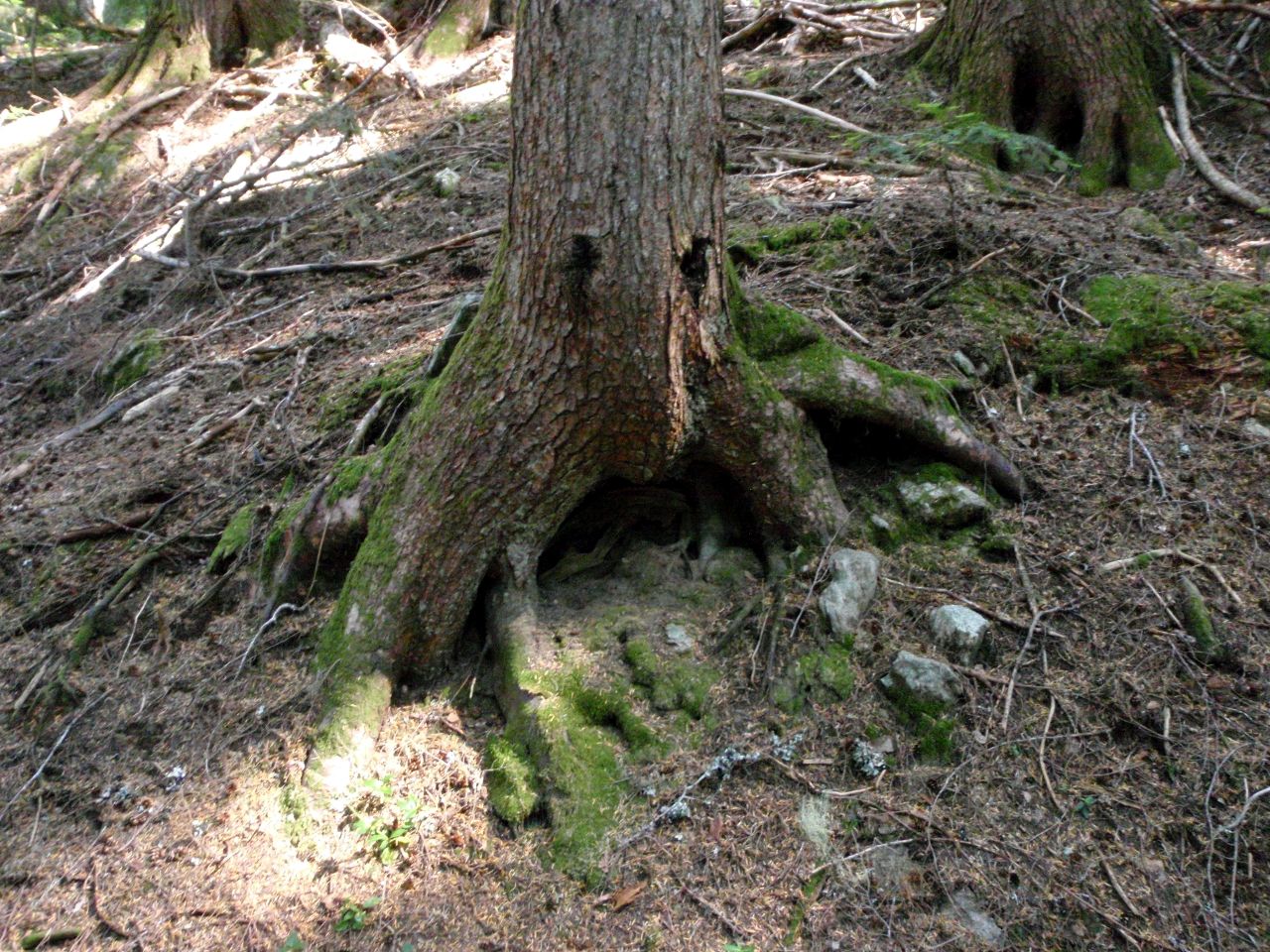
Face-tree
Hot day: every stream was a stopping point. There weren’t enough of them!
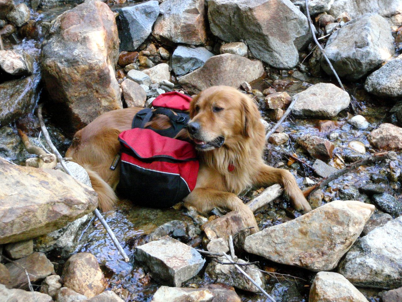
Cody cools off
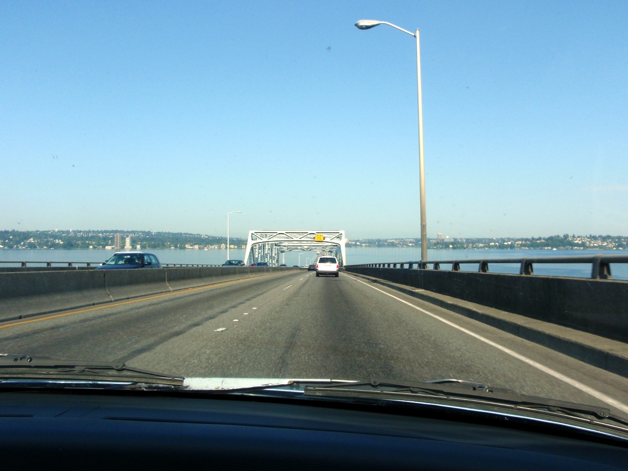
Wednesday: we try to beat the heat by returning via the coast. Evergreen floating bridge
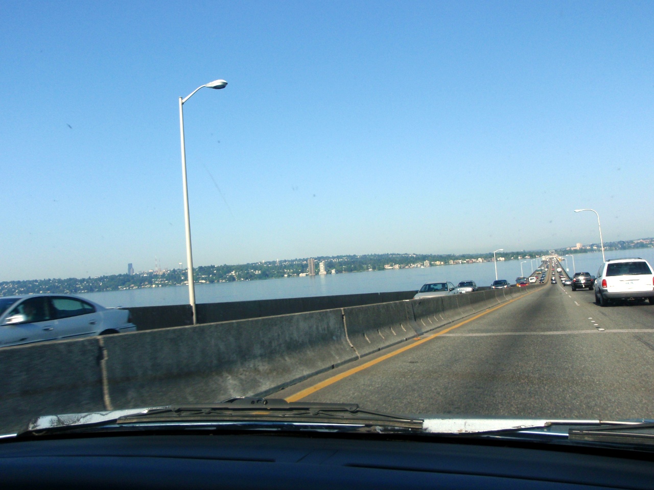
More on the bridge
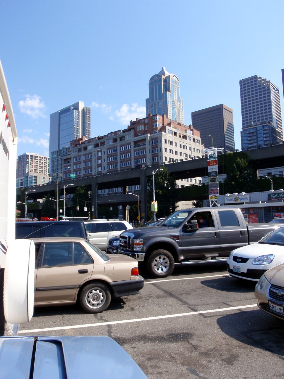
The “Wilderness” of Seattle
-
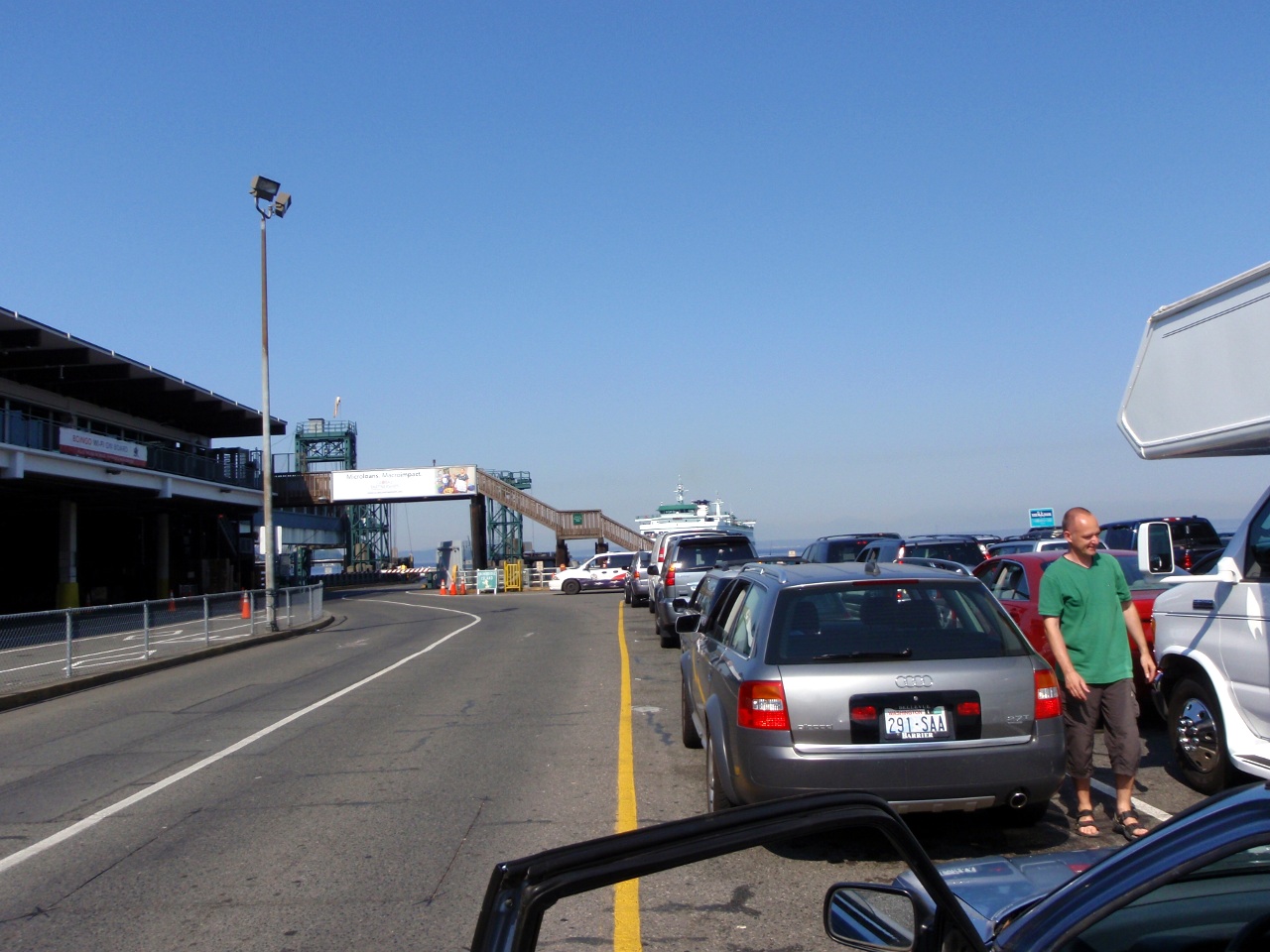
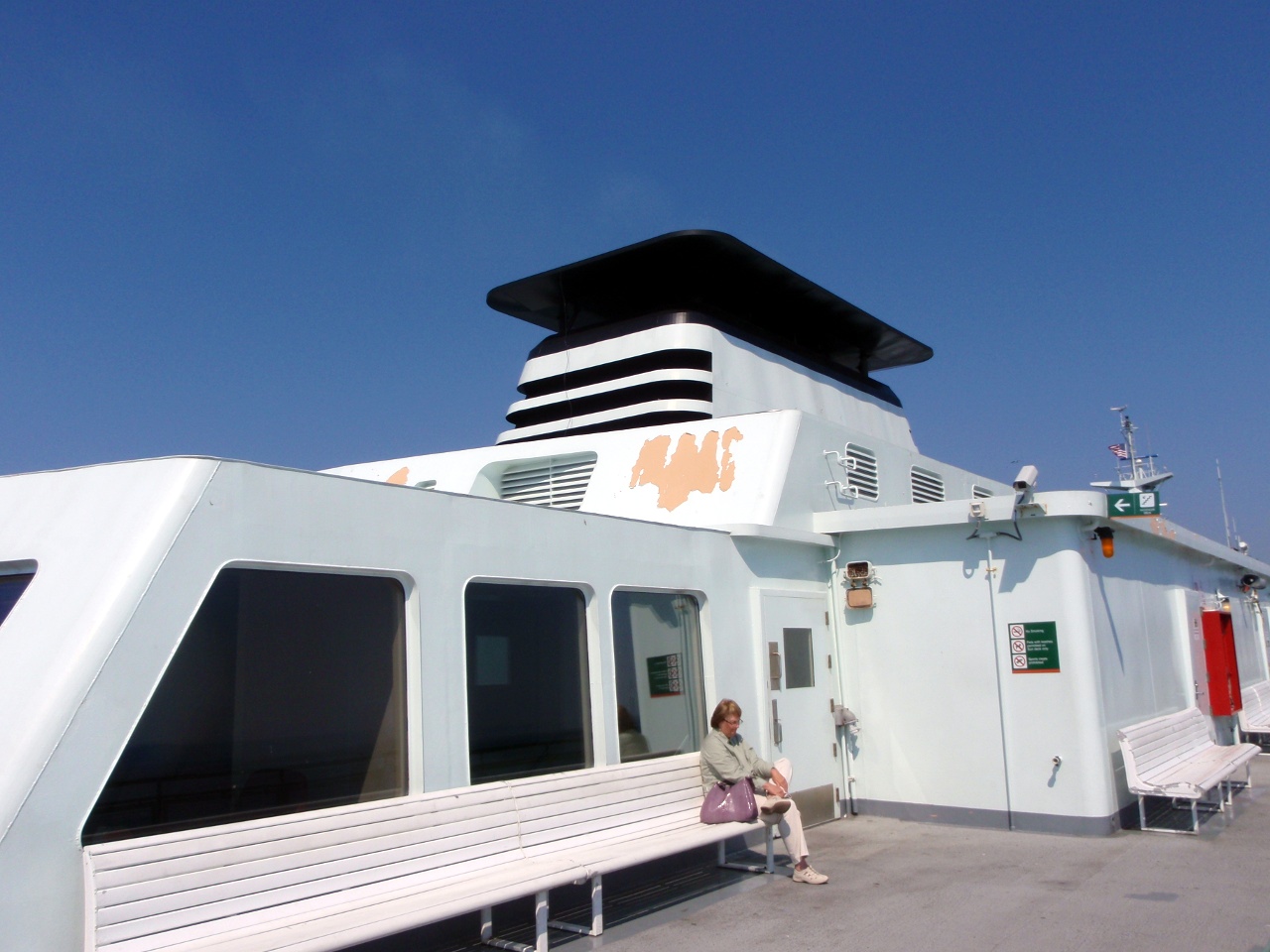
Waiting for the ferry
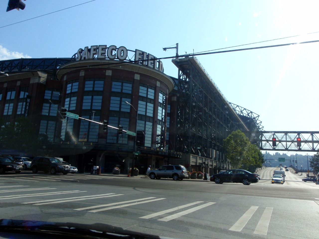
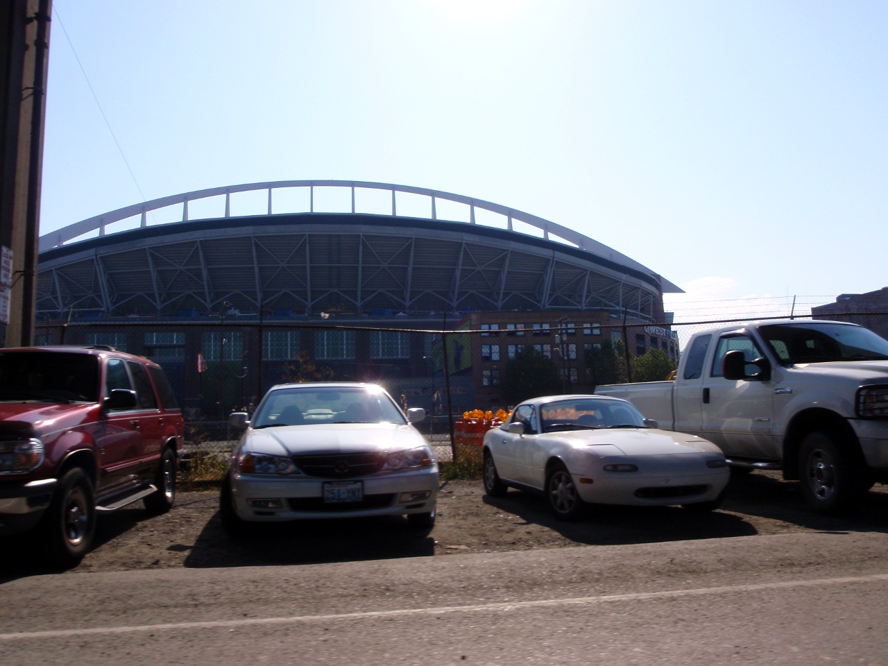
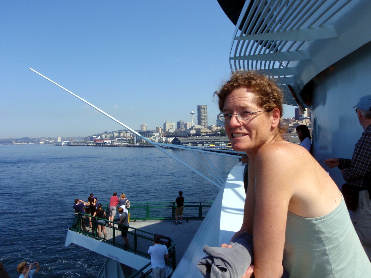
More of Seattle
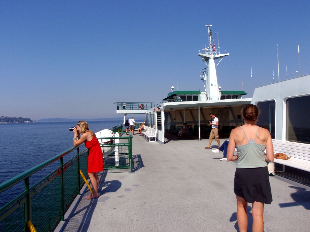
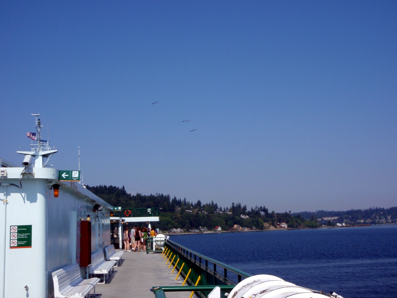
On the Ferry
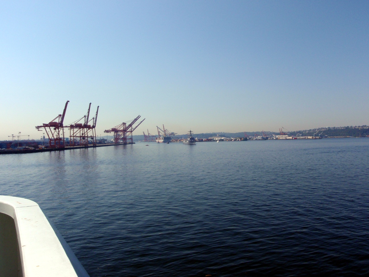
Sights in the harbor
-
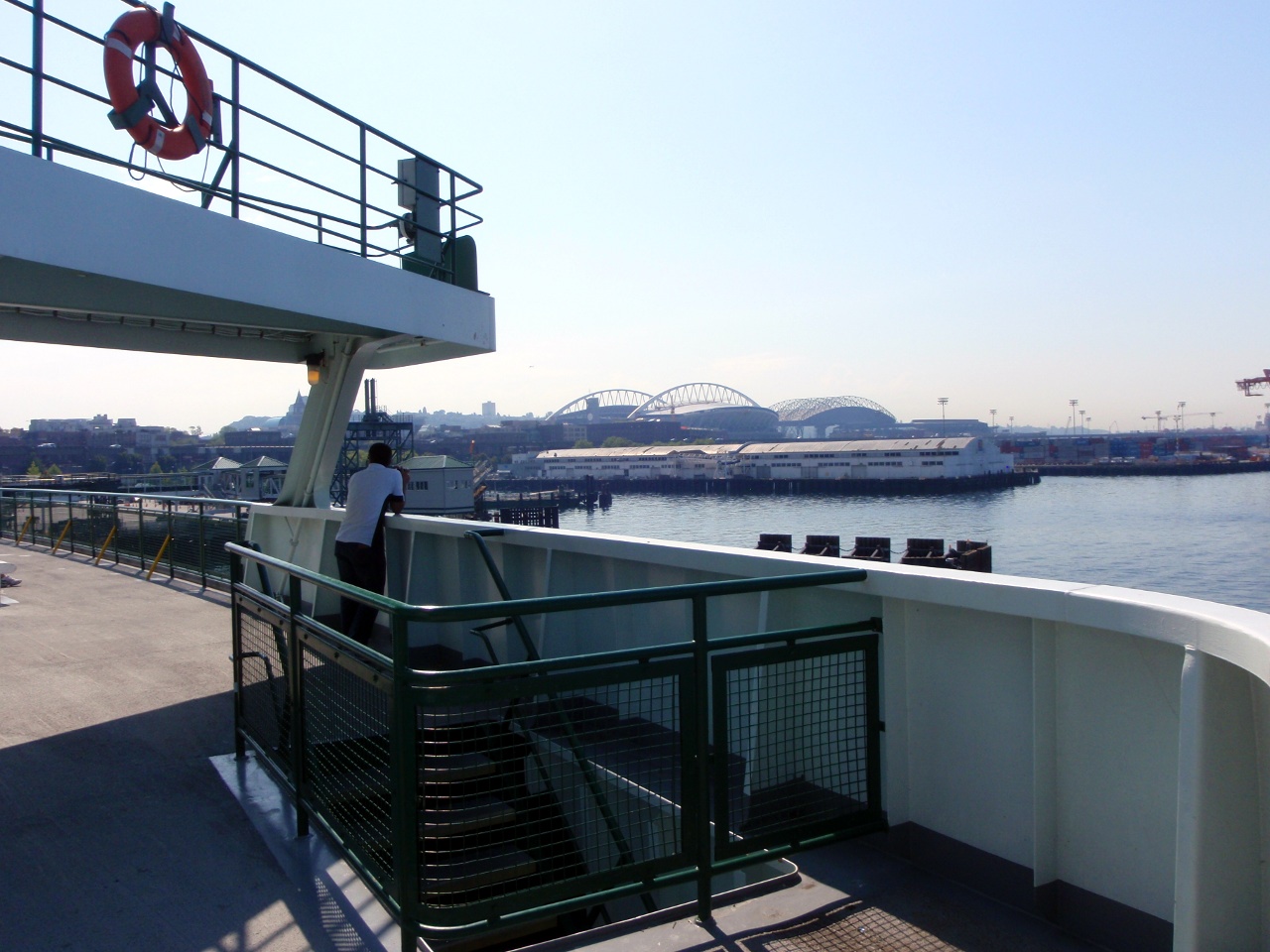
Space Needle in the distance
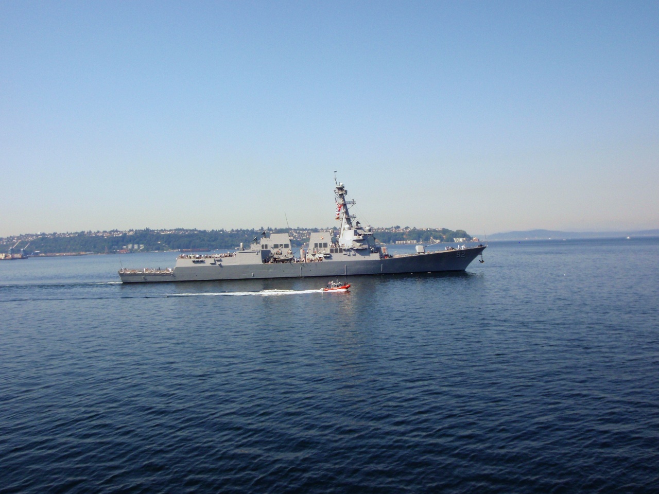
Traffic in the harbor
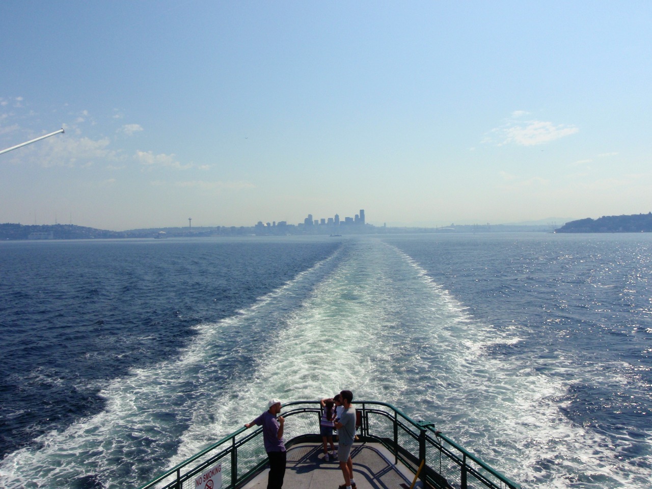
Leaving Seattle
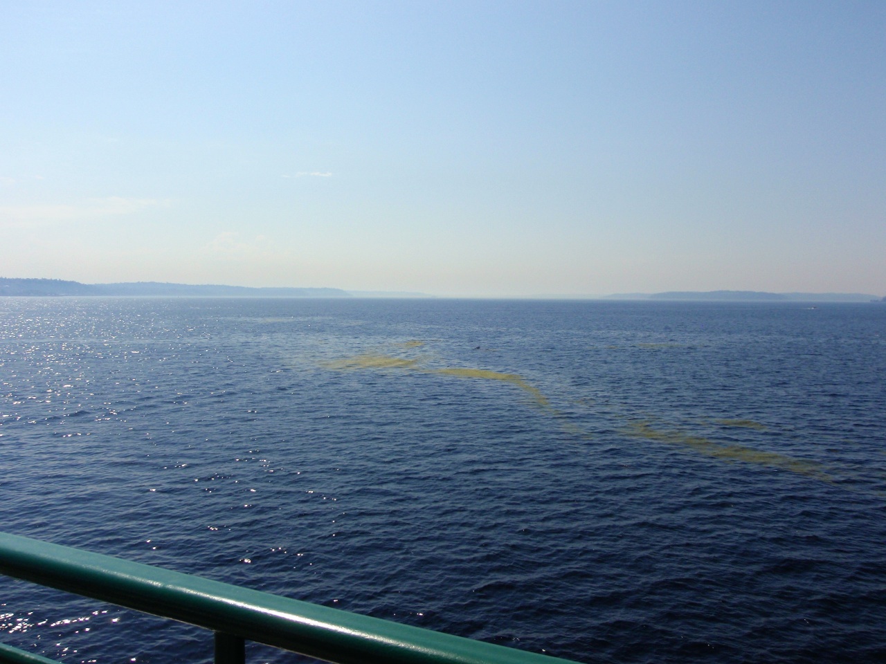
Kelp
Bainbridge Island
Needs a paint job
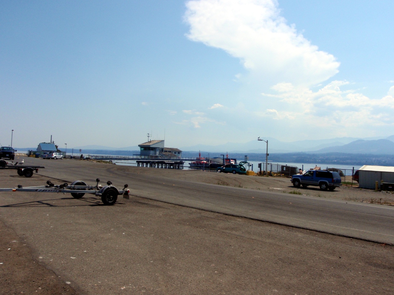
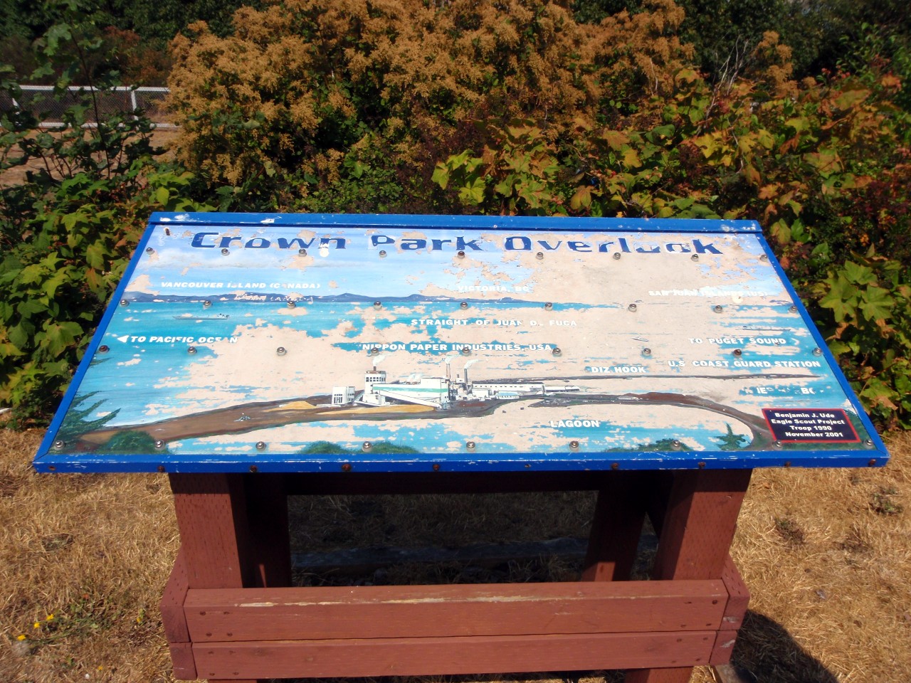
Ediz Hook, Port Angeles

Nippon paper mill—road out to the Hook pases through it
-
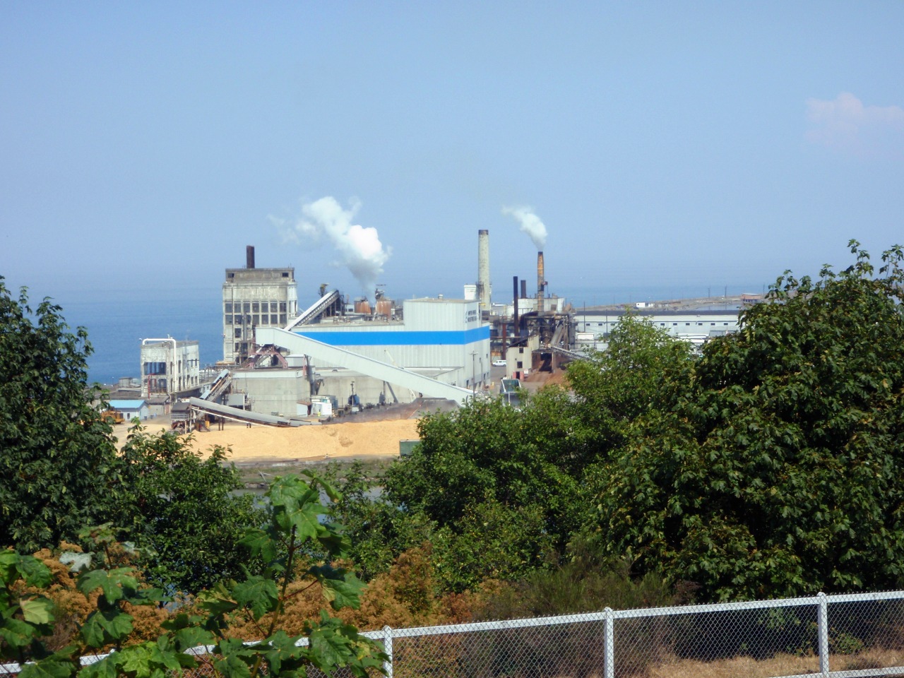
Another view of the mill
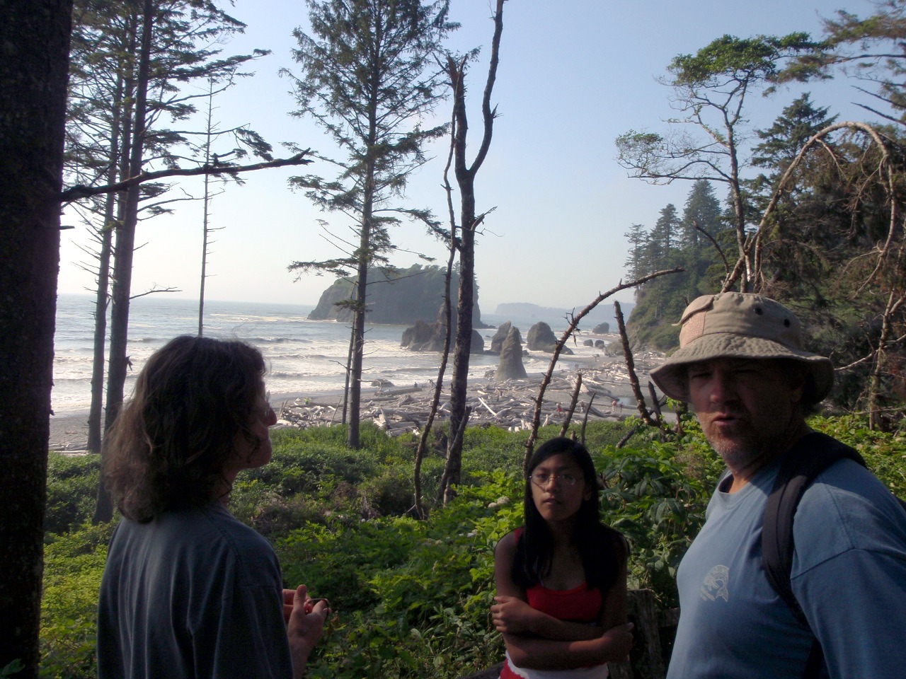
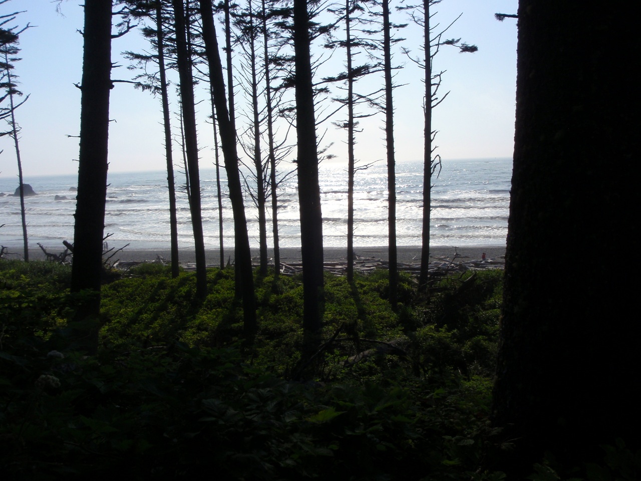
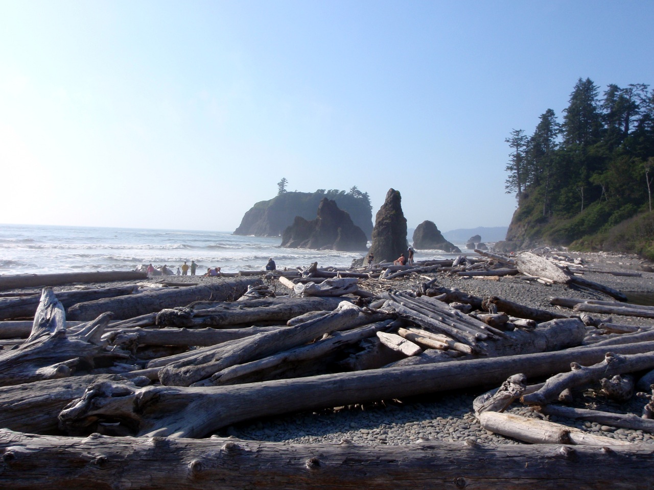
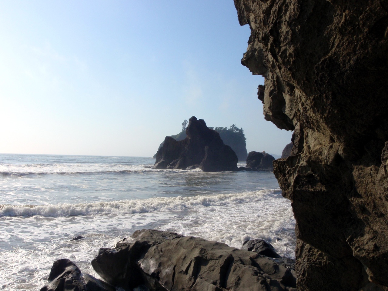
We meet up with Bill & family at Ruby Beach, Olympic NP
-
-
-
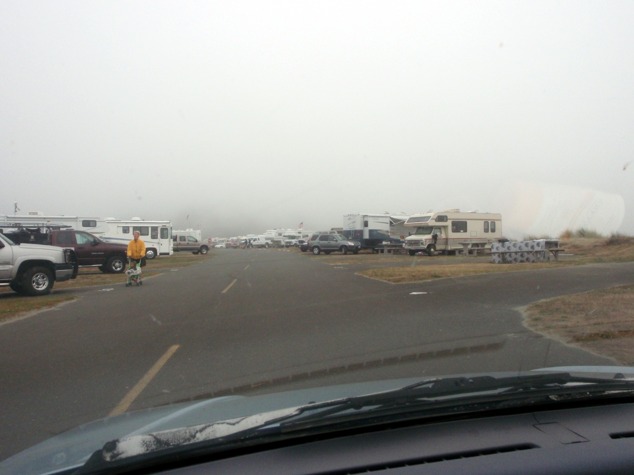
Typical CG along the coast
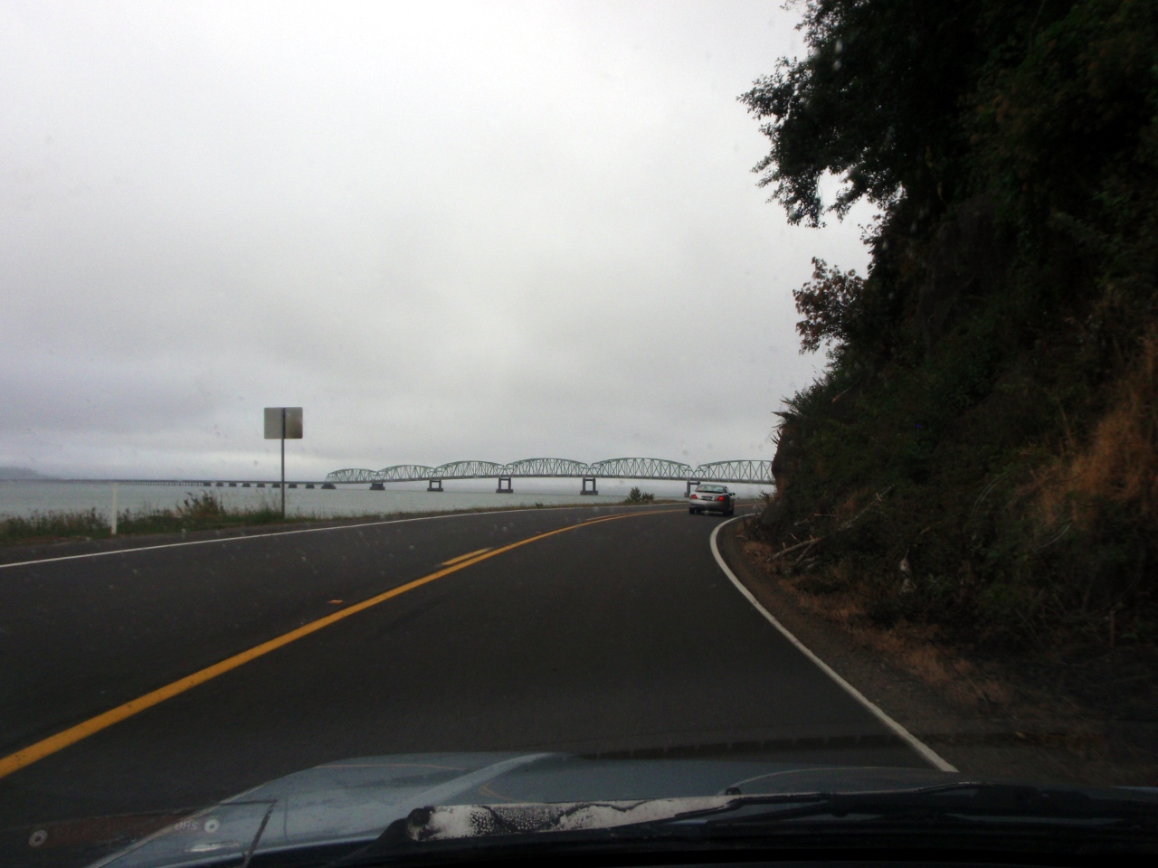
Thursday: back in Oregon. Astoria Bridge

Getting on the bridge
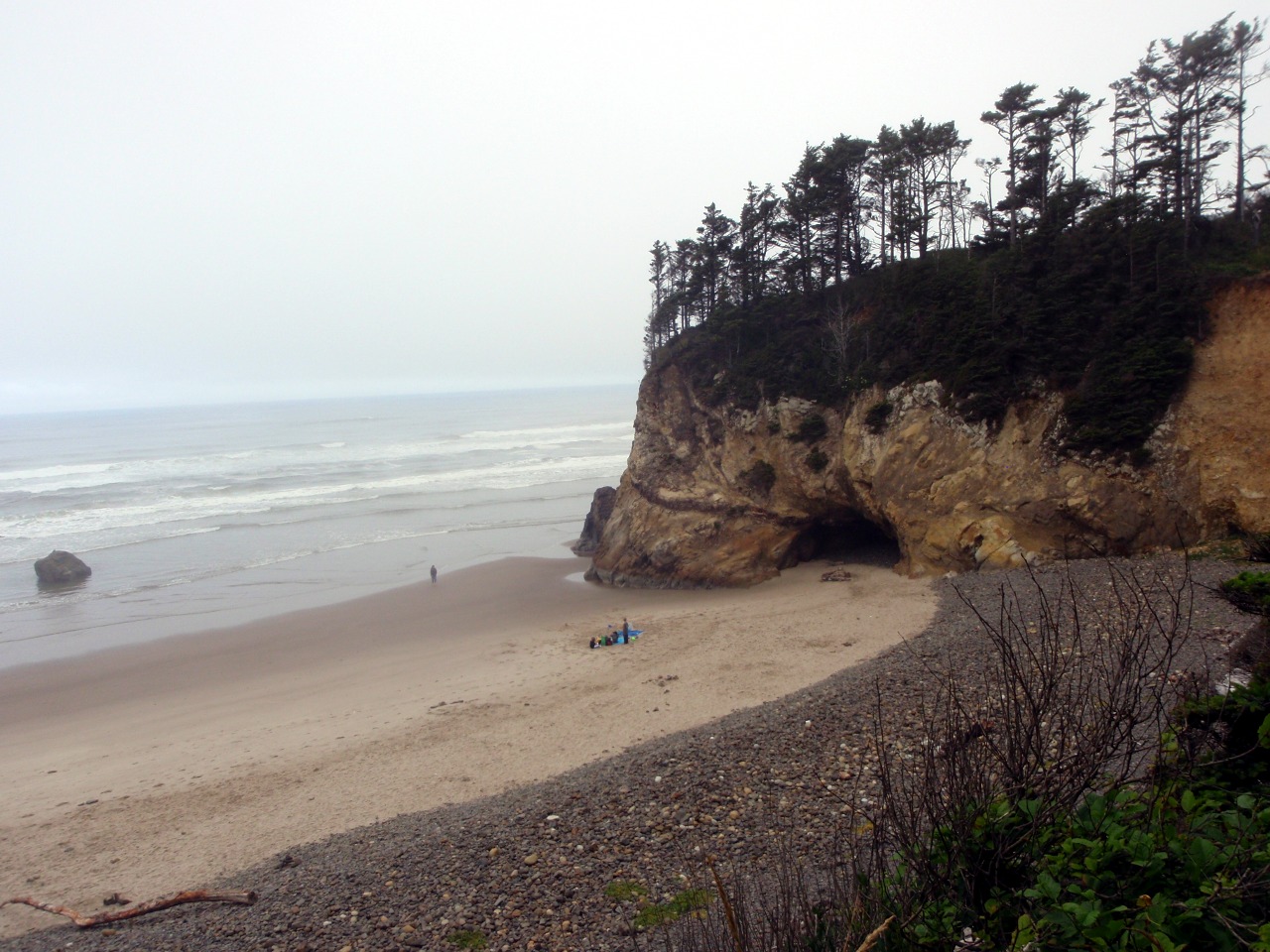
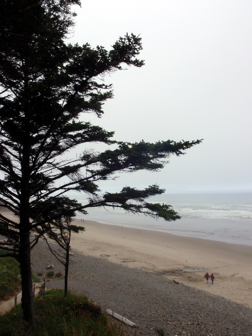
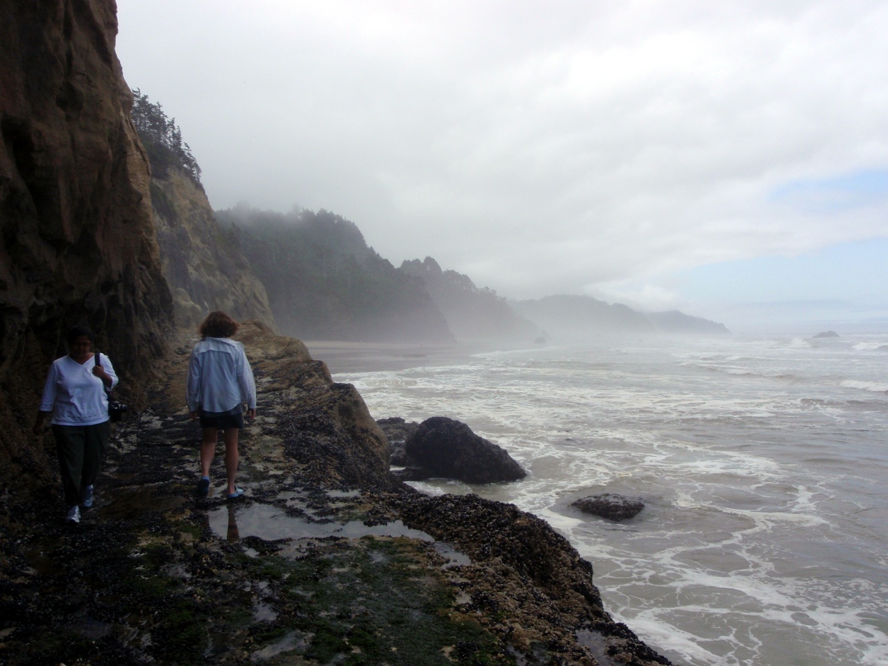
Hug Point State Park
-
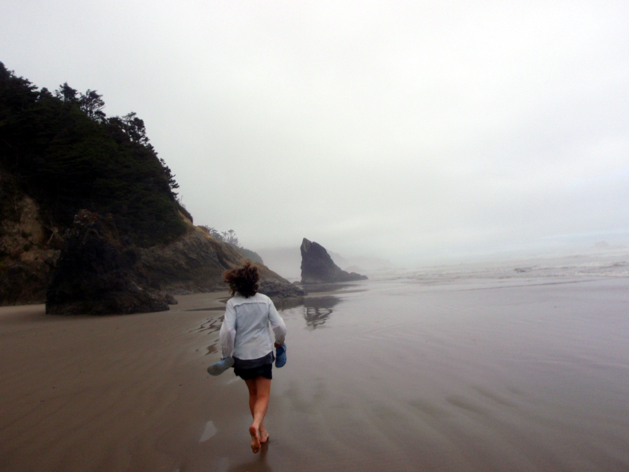
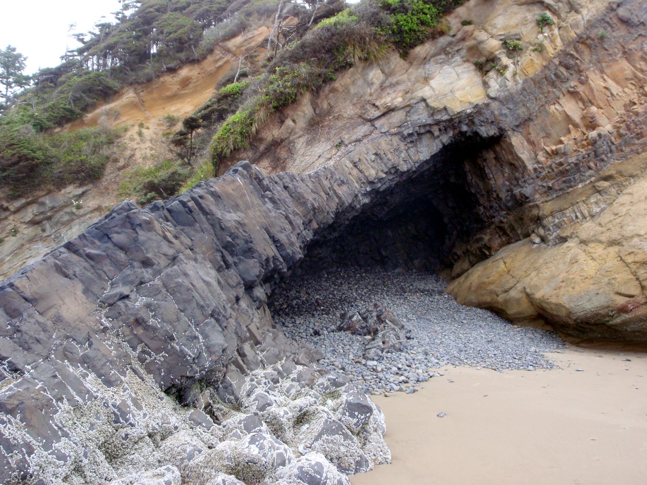
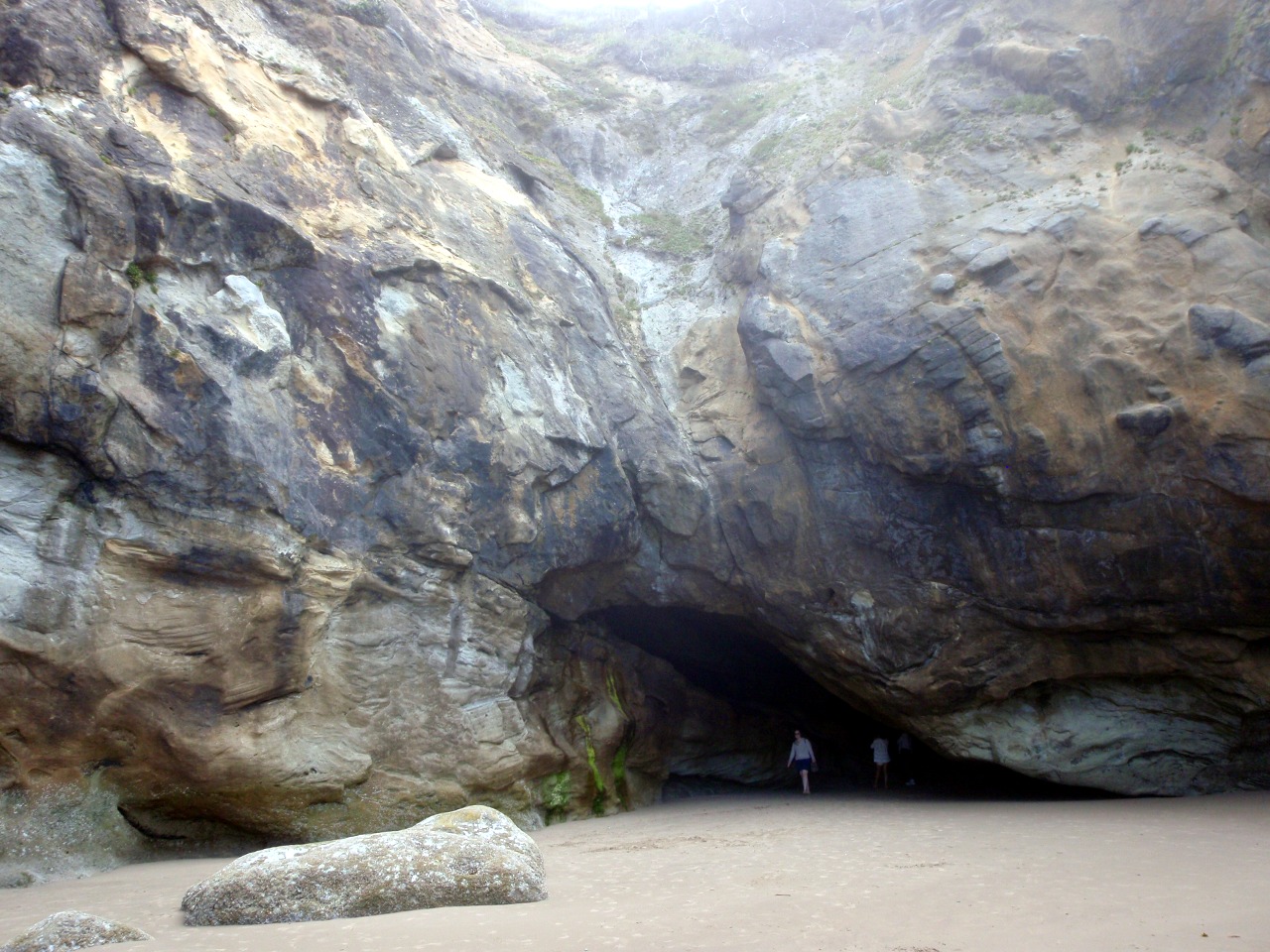
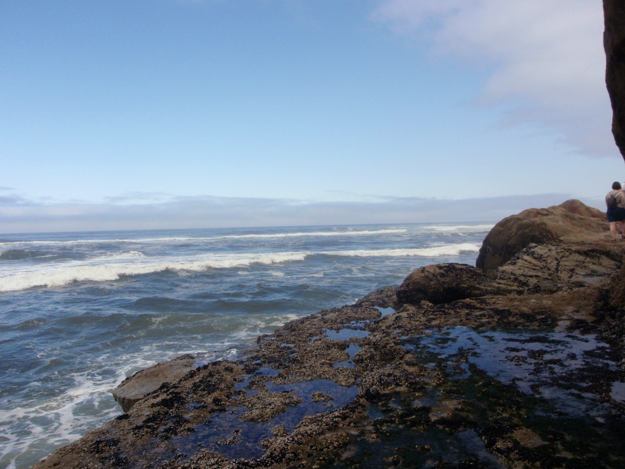
On the beach at Hug Point
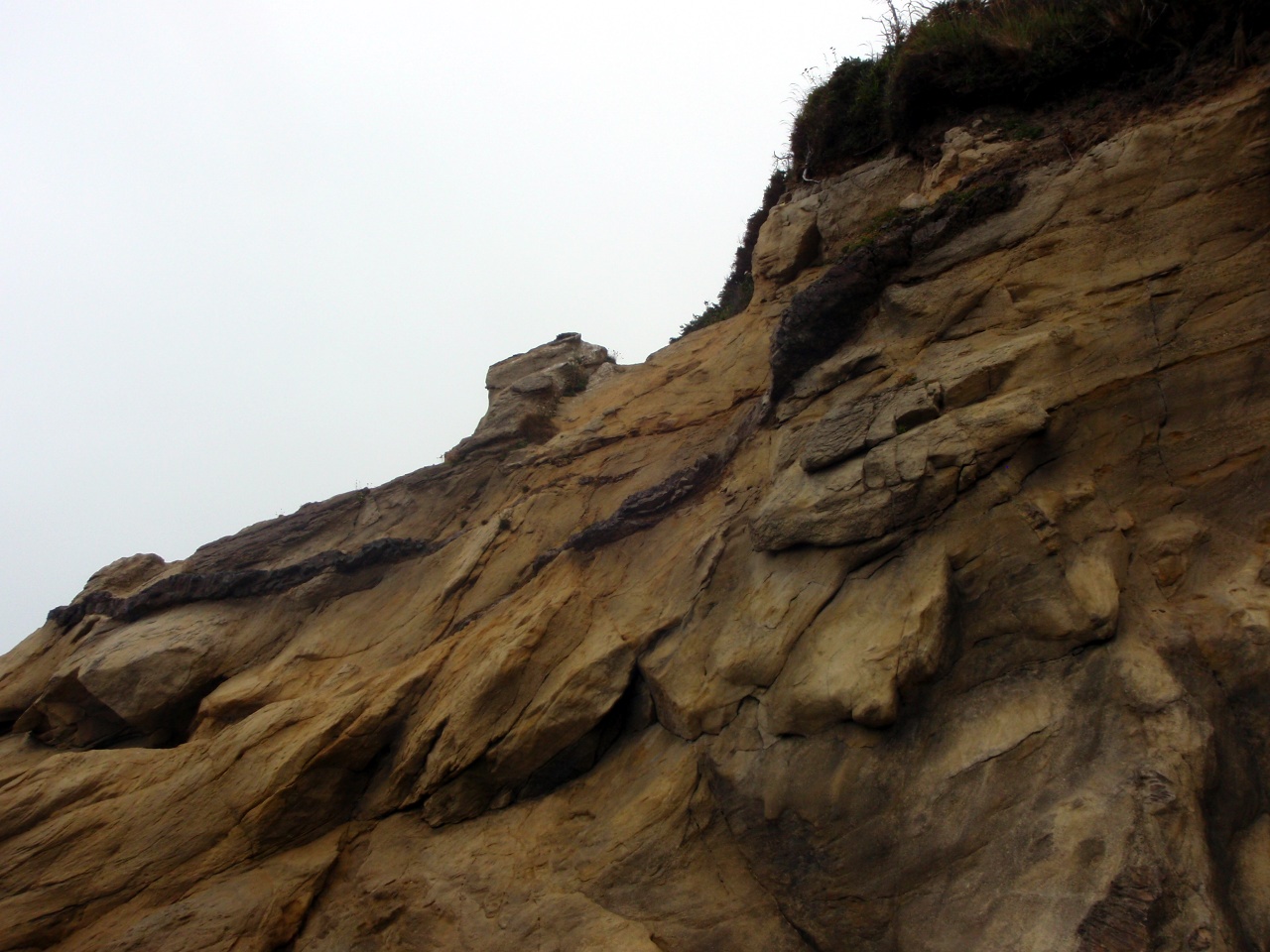
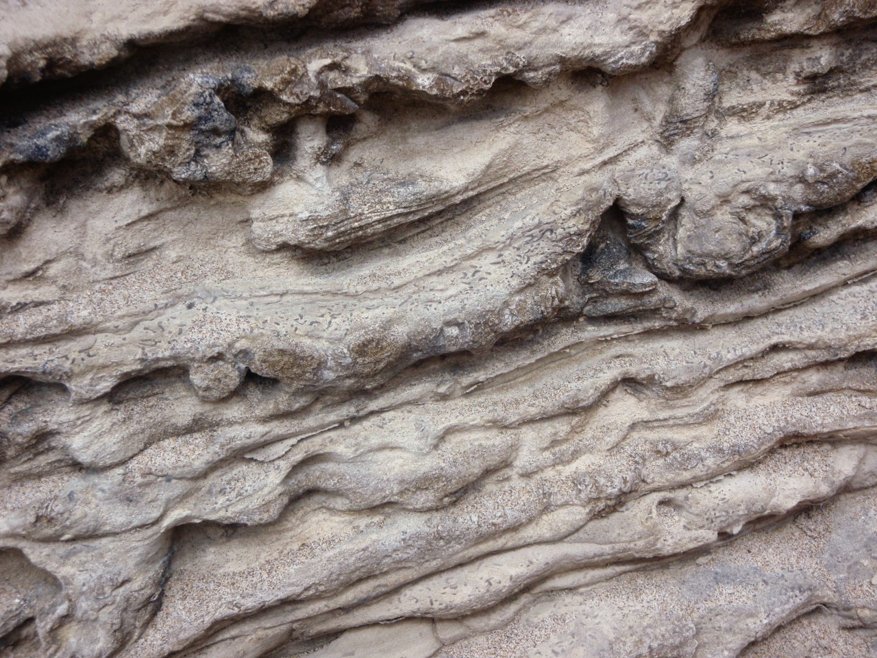
Sandstone cliffs
-
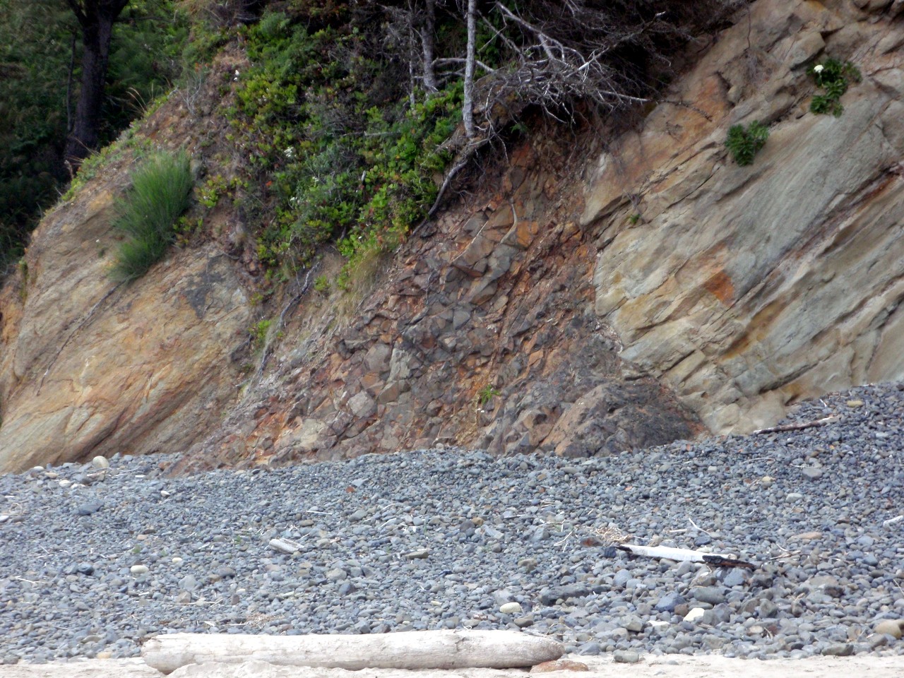
Basaltic instrusion
-

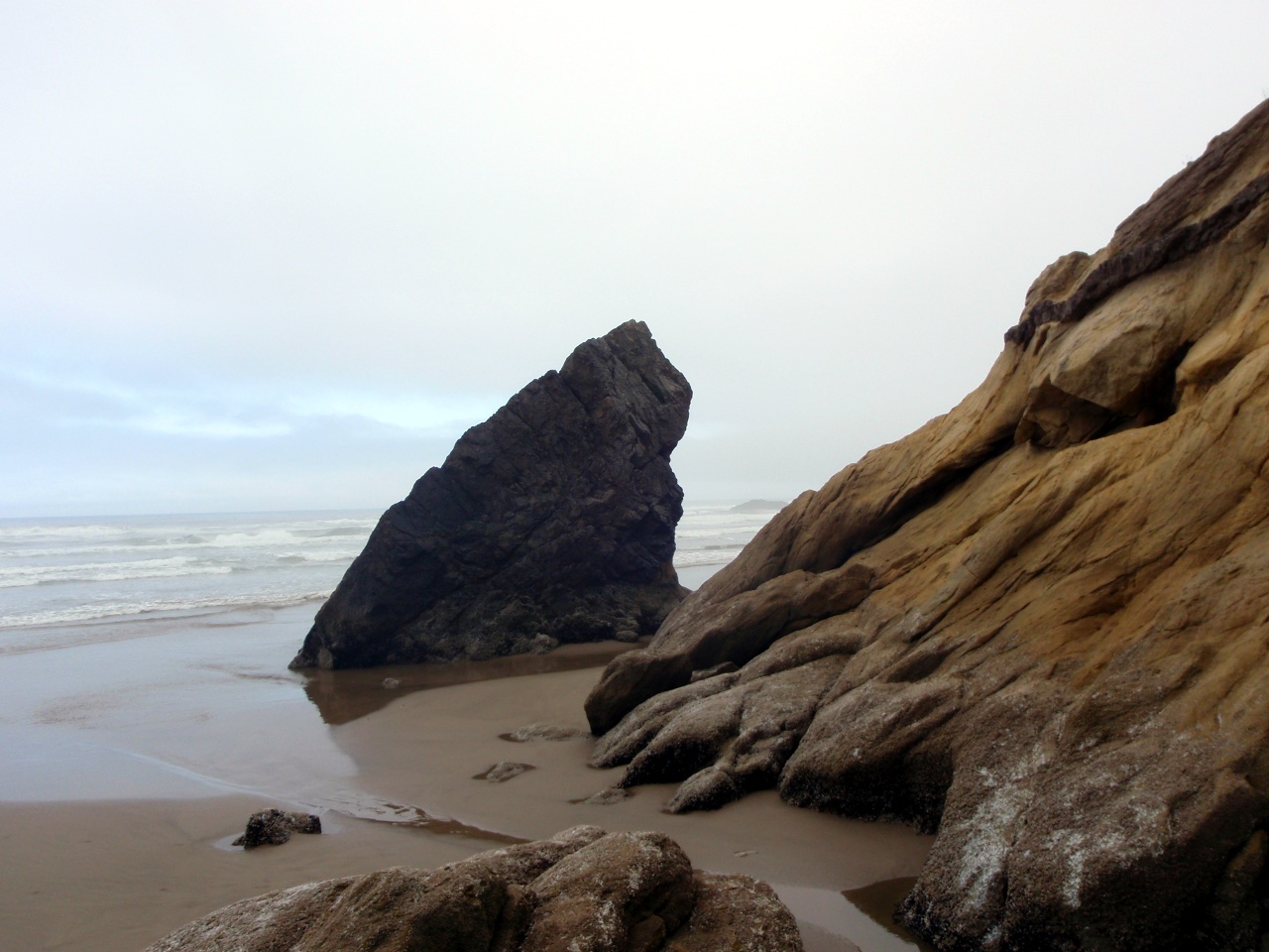
Complex sandstone formation
-
-
-
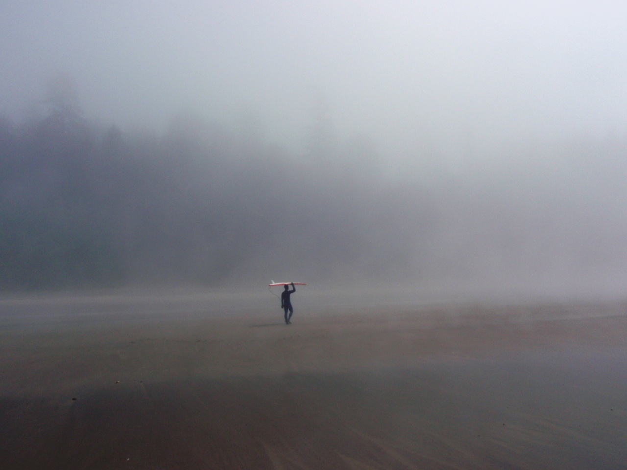
Oswald West State Park. Surfer on the beach
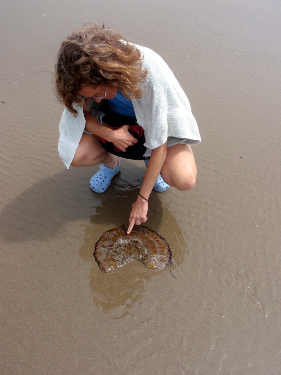
Dead jellyfish
-
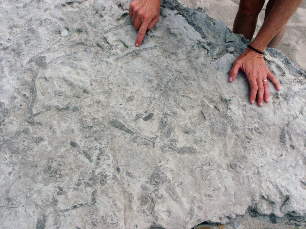
Fossils in sandstone
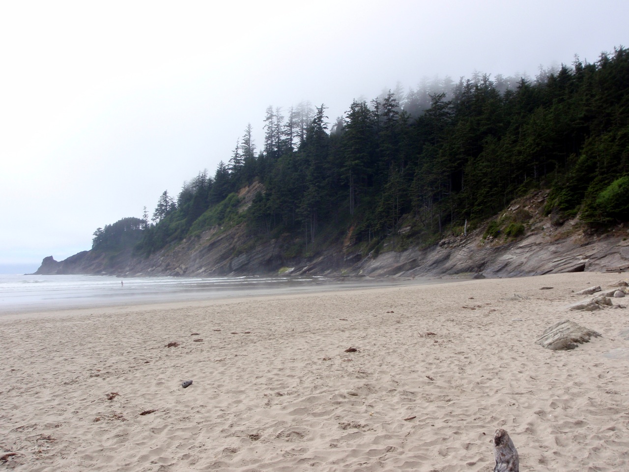
North end of beach
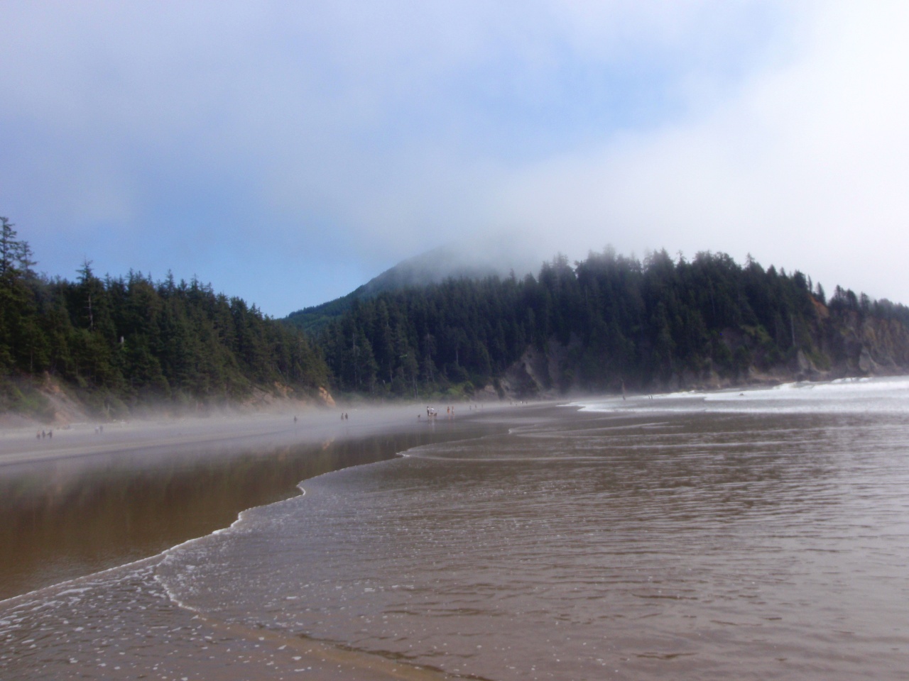
South end of beach
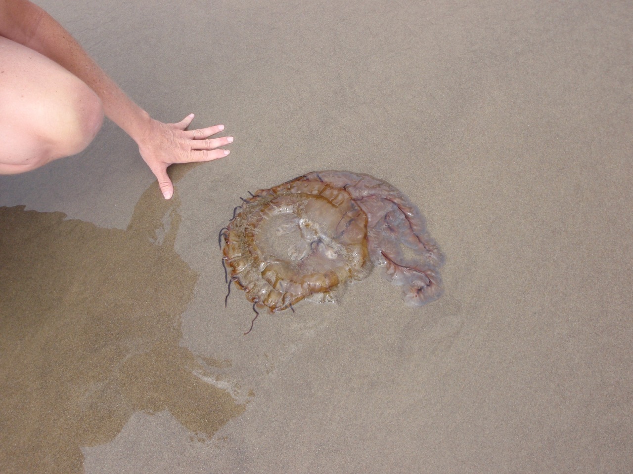
Still living jellyfish
Last modified: December 13, 2011